MAP DETAILS | |
|---|---|
| TITLE | Smyrna |
| STATE | Washington |
| LOCATION | Vicinity of Royal City, 45 miles northeast of Yakima |
| SERIES | 15-minute |
| SURVEYED | 1935 through 1965 Aerial and Field Survey |
| EDITION | 1965 |
| PRINTED | 1966 |
| PRINT NOTES | Thick paper stock |
| SCALE | 1:62500 |
| CONTOUR INTERVAL | 20 feet |
| SHEET DIMENSIONS | 17 x 21 inches |
| MAP DIMENSIONS | 12 x 17 1/2 inches |
| COVERAGE AREA | 12 x 17 miles |
| SHEET CONDITION For maps of this vintage, effort is made to note all visible flaws, no matter how minor. | |
| OVERALL CONDITION | Excellent |
| SHEET NOTES | very lightly handled, never folded, smooth and flat |
| MAP AREA | flawless map area |
| COLLARS | no wear or tears, no markings, no blemishes, library stamp in bottom collar |
| MAP COVERAGE Quadrangle extent overlaid on current basemap. | |
| PLACENAMES Depending on map series and survey date, all of the features listed below may not be shown on this map. This list contains features that currently exist or historically existed within the area covered by the map. The list can be used as a reference to determine if this map covers your area of interest. Placenames are listed alphabetically next to each feature type. | |
| NOTABLE PLACES | Royal City, Frenchman Hills, and Saddle Mountains |
| CITIES AND TOWNS (CURRENT) | Smyrna |
| COUNTIES COVERED | Grant |
| FEDERAL LAND UNITS | Hanford Site |
| RIVERS AND STREAMS | Frenchman Hills Wasteway, Lower Crab Creek, and Sand Hollow Lake |
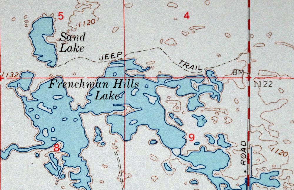
| WATER BODIES | Frenchman Hills Lake and Sand Lake |
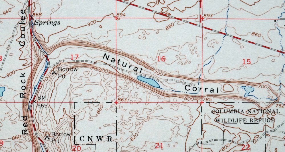
| Locations: Chadbourne Ranch, Frenchman Hills Pumping Plant, Low Gap Pumping Station, Rasor Ranch, Royal Substation, and Schrum Ranch. Areas: Dry Island. Mountain Ranges: Saddle Mountains. Mountains, Peaks, and Summits: Cash Butte and Wahatis Peak. Valleys and Canyons: Natural Corral and Red Rock Coulee. Parks: Columbia National Wildlife Refuge, Crab Creek Habitat Management Area, and Desert Habitat Management Area. Lakes and Ponds: Frenchman Hills Lake, Red Rock Lake, and Sand Lake. Buildings: Watermaster Headquarters. Canals: Crab Creek Lateral Extension, Royal Branch Canal, and Royal Branch Canal Wasteway. Airports: Christensen Field. Schools: Red Rock Elementary School, Royal High School, and Royal Middle School. Reservoirs and Tanks: Sand Hollow Lake. Slopes: Royal Slope and Wahluke Slope. | |
| SHIPPING AND RETURNS | |
 This map sheet will be carefully rolled in a sturdy tube and shipped via the US Postal Service. If you find that the sheet you receive is not as described in the listing, you may ship it back to us for a refund of the purchase price. | |
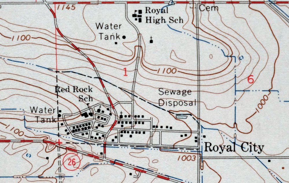
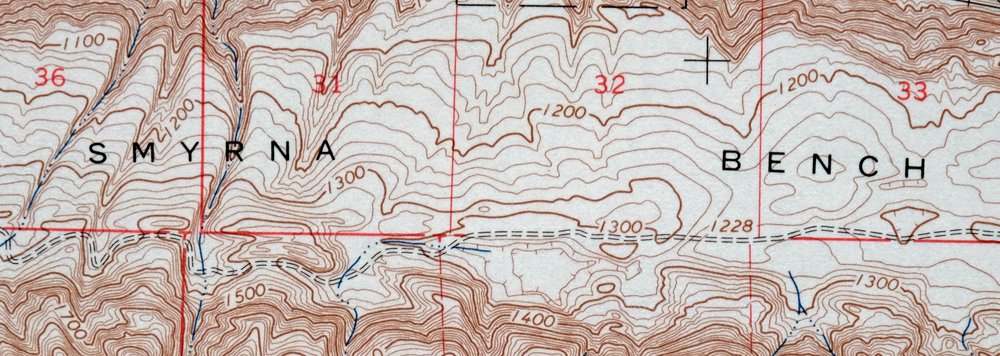
1966 USGS Topo Map: Smyrna, Royal City, Washington
$40
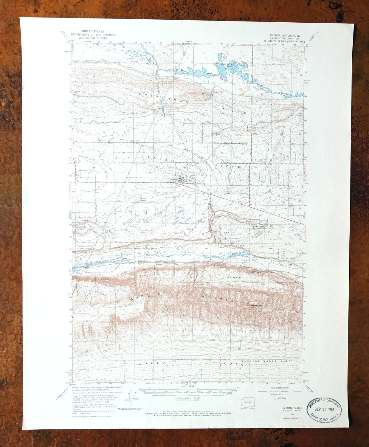
A 15-minute USGS topographic sheet of Smyrna, Washington, first published in 1965 and printed the following year on thick paper stock. The quad sits in Grant County, taking in the area around Royal City, with the Frenchman Hills to the north and the Saddle Mountains to the south, about 45 miles northeast of Yakima. This is irrigated Columbia Basin country, farmland made possible by the Columbia Basin Project of the mid-century; Royal City itself was laid out only a few years before this printing. Never folded, smooth and flat.
In stock
This vintage sheet is a 1965 edition of the Smyrna Washington USGS topographic map. It is an original 60-year-old 1966 United States Geological Survey print in excellent condition.
HOW THIS MAP CAN BE USED
In addition to making a fascinating conversation piece, this sheet would look great in a frame or on display, make a unique and prized gift for anyone interested in this area, be perfect as a reference for genealogy studies or general historical research, or fill that missing piece in your collection. Maps of this vintage are printed on durable stock and are well-suited for outdoor activities and recreation of all kinds, including hiking, backpacking, hunting, rafting and kayaking, backcountry skiing, geocaching, general exploration, treasure hunting, etc.
FEATURES SHOWN ON THE MAP
The Smyrna 15-minute map shows cities and towns, roads, railroads, utilities and energy infrastructure, rivers, creeks, elevation contour lines, public land survey lines, county, state, and other administrative boundaries as they existed at the time of the survey in 1935 through 1965. All known structures (houses, businesses, churches, schools, barns, cabins, etc) are also shown.
A VALUABLE HISTORICAL RECORD
Maps from the 15-minute series for the continental United States are no longer produced or printed by the USGS and original prints are becoming increasingly difficult to find. They are a valuable historical record for an area, as they contain many placenames and features that have been dropped from more recent maps.
Nearby maps
-
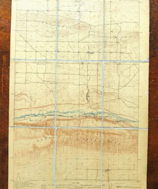
Red Rock Washington Royal City Smyrna USGS Topo Map 1911
$20 Add to cart -
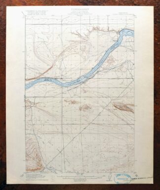
Coyote Rapids Washington USGS 15-Min Topo Map 1916 Antique
$48 Add to cart -
Boylston Washington Vantage Doris USGS Topographic Map 1943
$28 Add to cart -
Black Rock Spring Washington Yakima Ridge USGS Topo Map 1941
$32 Add to cart -
Grandview Washington Sunnyside USGS Topo Map 1951 Vintage
$30 Add to cart -
Yakima East Washington Union Gap USGS Topographic Map 1968
$25 Add to cart -
Yakima East Washington Union Gap USGS Topographic Map 1941
$49 Add to cart -
Colockum Pass Washington Wenatchee USGS 30-Min Topo Map 1922
$36 Add to cart -

Connell Washington Lind Mesa USGS Topo Map 1918 Antique
$34 Add to cart -
Yakima East Washington Moxee Parker USGS Topo Map 1985
$37 Add to cart -
Rock Island Washington South Wenatchee USGS Topo Map 1967
$41 Add to cart -

Badger Mountain Washington South Richland USGS Topo Map 1978
$34 Add to cart -
1957 USGS Topo Map: Ellensburg, Snoqualmie NF, Washington
$39 Add to cart -
Wallula Washington Finley Burbank USGS Topo Map 1918 Antique
$34 Add to cart -

Benge Washington Hooper Palouse River USGS Topo Map 1952
$35 Add to cart -
Barker Canyon Washington USGS 7.5-Min Topo Map 1971 Vintage
$36 Add to cart -
1955 USGS Army COE Topo Map: Grand Coulee Dam, Washington
$36 Add to cart -

La Crosse Washington Winona Palouse River USGS Topo Map 1952
$34 Add to cart -
Wilbur Washington Creston USGS 15-Min Topo Map 1950 Vintage
$35 Add to cart -

Walla Walla Washington Langdon Mill Creek USGS Topo Map 1978
$35 Add to cart -
1923 USGS Topo Map: Mount Adams, Washington
$46 Add to cart -
1964 USGS Topo Map: Mount Adams, Washington
$19 Add to cart -
Snoqualmie Pass Washington Hyak USGS Topographic Map 1965
$21 Add to cart -

Lucerne Washington USGS 15-Min Topographic Map 1949 Vintage
$37 Add to cart