MAP DETAILS | |
|---|---|
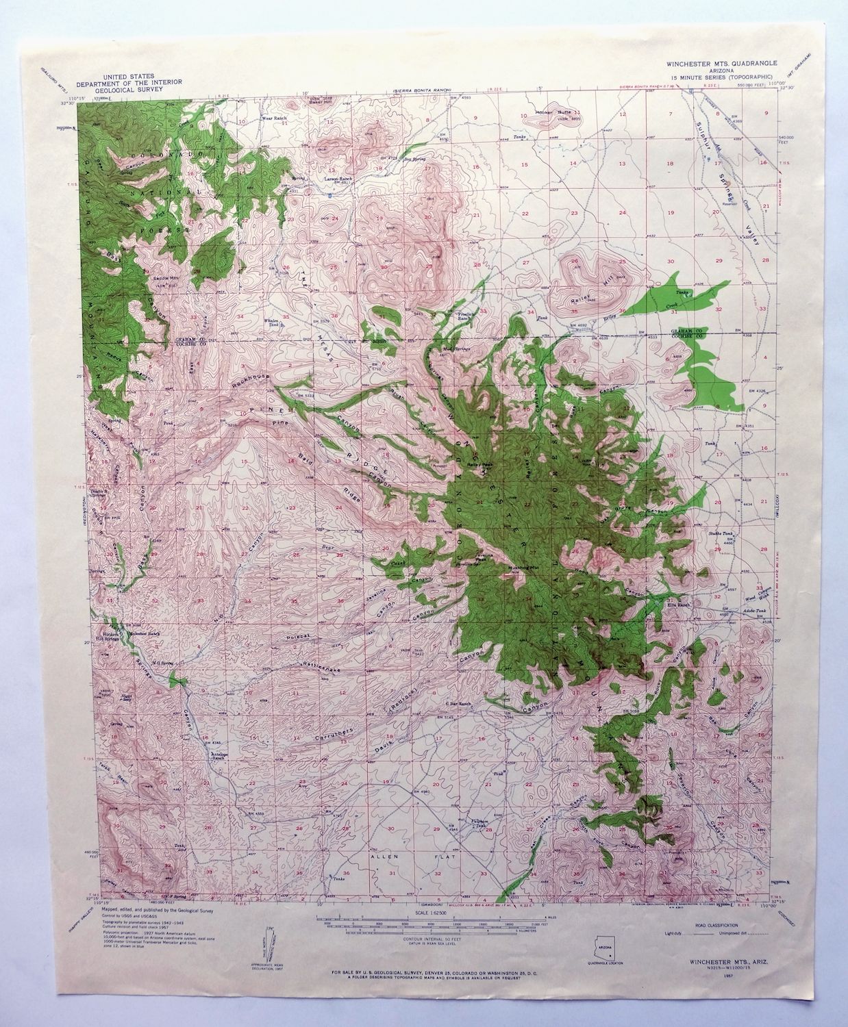
| TITLE | Winchester Mountains |
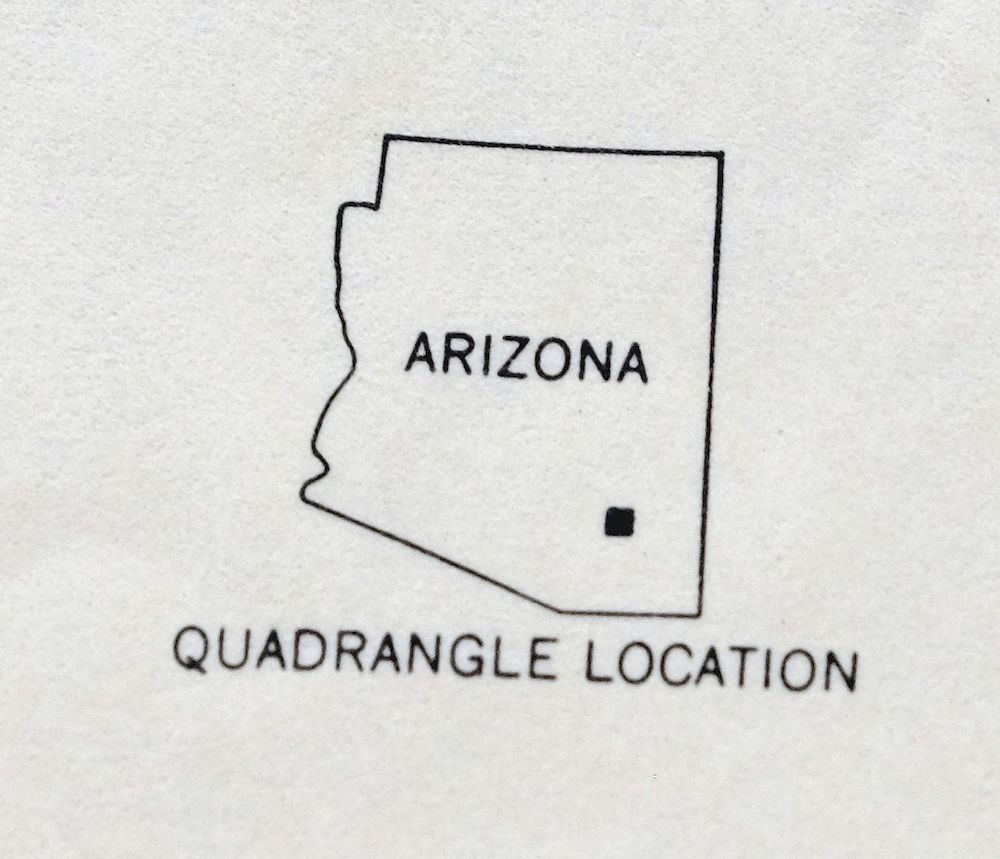
| STATE | Arizona |
| LOCATION | 50 miles east of Tucson |
| SERIES | 15-minute |
| SURVEYED | 1942 through 1957 Aerial and Field Survey |
| EDITION | 1957 |
| PRINTED | 1962 |
| PRINT NOTES | Thick paper stock, includes woodland tint (green to indicate vegetated areas) |
| SCALE | 1:62500 |
| CONTOUR INTERVAL | 50 feet |
| SHEET DIMENSIONS | 17 x 21 inches (approximate) |
| MAP DIMENSIONS | 14 3/4 x 17 1/2 inches |
| COVERAGE AREA | 15 x 17 miles |
| SHEET CONDITION For maps of this vintage, effort is made to note all visible flaws, no matter how minor. | |
| OVERALL CONDITION | Excellent |
| SHEET NOTES | lightly handled, never folded |
| MAP AREA | no wear, no markings, very small blemish found in northeast corner of map area |
| COLLARS | no wear or tears, no markings, no blemishes |
| MAP COVERAGE Quadrangle extent overlaid on current basemap. | |
| PLACENAMES Depending on map series and survey date, all of the features listed below may not be shown on this map. This list contains features that currently exist or historically existed within the area covered by the map. The list can be used as a reference to determine if this map covers your area of interest. Placenames are listed alphabetically next to each feature type. | |
| COUNTIES COVERED | Cochise and Graham |
| FEDERAL LAND UNITS | Coronado National Forest, Galiuro Wilderness, and Redfield Canyon Wilderness |
| RIVERS AND STREAMS | Ash Creek and South Fork Ash Creek |
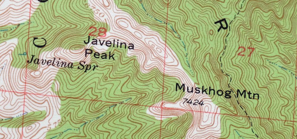
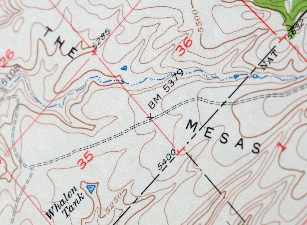
| Locations: Antelope Ranch, Ellis Ranch, Froelich Ranch, G Bar Ranch, Larson Ranch, Muleshoe Ranch, and Wear Ranch. Mountains, Peaks, and Summits: Hooker Butte, Javelina Peak, The Mesas, Muskhog Mountain, Reiley Hill, Reiley Peak, and Saddle Mountain. Valleys and Canyons: Adobe Canyon, Ash Creek Canyon, Bear Canyon, Brush Canyon, Carruthers Canyon, Davis Canyon, Double R Canyon, East Fork Bass Canyon, Hackberry Canyon, Javelina Canyon, Mud Springs Canyon, N-O Canyon, Oak Grove Canyon, Pine Canyon, Polecat Canyon, Rattlesnake Canyon, Redus Canyon, Reiley Canyon, Rockhouse Canyon, Rocky Canyon, Rose Canyon, South Fork Canyon, Sulphur Springs Valley, West Fork Bass Canyon, and Wood Canyon. Drainages: Bear Creek and Reiley Creek. Airports: Lightning Ranch Airstrip. Ridges: Bald Ridge, Pine Ridge, and Winchester Mountains. Reservoirs and Tanks: Adobe Tank, Bald Ridge Number One Tank, Bald Ridge Number Two Tank, Bass Tank, Bear Tank, Boundary Tank, Brush Tank, Burro Tank, Cave Tank, Cement Dam Tank, Channel Tank, Deer Tanks, Earthexn Tank, Fulghum Tank, House Tank, Ice Box Tank, Juniper Tank, Little Red Tank, Little Tank, Middle Tank, Negro Tank, New Tank, Pancho Tank, Pine Canyon Tank, Reiley Tank, Rock Tank, Saddle Mountain Tank, Saddle Tank, Sand Tank, Stubbs Tank, Upper Reiley Tank, Wear Tank, and Whalen Tank. Springs: Box Spring, Double R Springs, Javelina Spring, Mud Springs, N-O Spring, Poer Spring, Riggs Seep, and V-F Spring. | |
| SHIPPING AND RETURNS | |
 This map sheet will be carefully rolled in a sturdy tube and shipped via the US Postal Service. If you find that the sheet you receive is not as described in the listing, you may ship it back to us for a refund of the purchase price. | |
Winchester Mountains Arizona The Mesas USGS Topo Map 1962
$35
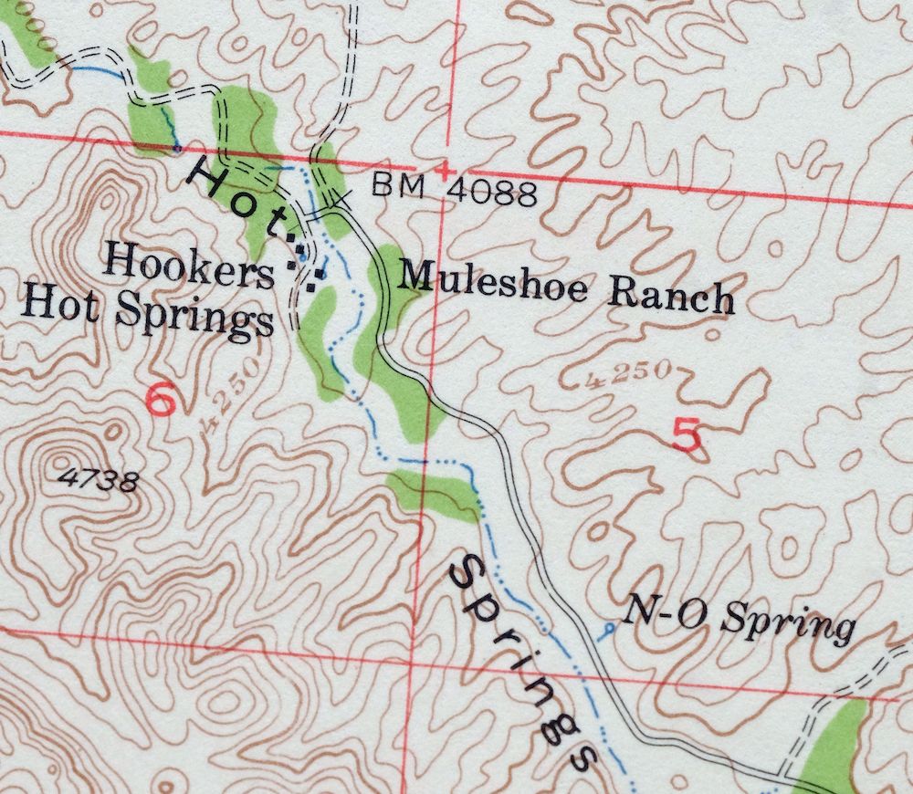
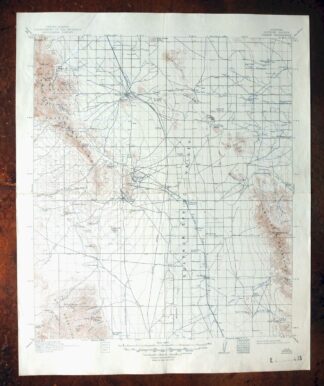
This USGS 15-minute topographic map is a 1957 edition printed in 1962, and the sheet is in excellent condition – lightly handled, never folded, on thick stock, with only a very small blemish noted in the northeast corner of the map area. Covering a stretch of southeastern Arizona about 50 miles east of Tucson across Cochise and Graham counties, it takes in the Winchester Mountains along with portions of the Coronado National Forest and the Galiuro and Redfield Canyon Wilderness areas, and includes Muleshoe Ranch within the quad boundaries. The rugged, largely undeveloped country here – drawn at 50-foot contours from a 1942 through 1957 aerial and field survey – gives a clear read of the canyons and ranges that define this remote corner of the state. Having never been folded and printed on thick stock, it would frame well.
In stock
This vintage sheet is a 1957 edition of the Winchester Mountains Arizona USGS topographic map. It is an original 64-year-old 1962 United States Geological Survey print in excellent condition.
HOW THIS MAP CAN BE USED
In addition to making a fascinating conversation piece, this sheet would look great in a frame or on display, make a unique and prized gift for anyone interested in this area, be perfect as a reference for genealogy studies or general historical research, or fill that missing piece in your collection. Maps of this vintage are printed on durable stock and are well-suited for outdoor activities and recreation of all kinds, including hiking, backpacking, hunting, rafting and kayaking, backcountry skiing, geocaching, general exploration, treasure hunting, etc.
FEATURES SHOWN ON THE MAP
The Winchester Mountains 15-minute map shows cities and towns, roads, railroads, utilities and energy infrastructure, rivers, creeks, elevation contour lines, public land survey lines, county, state, and other administrative boundaries as they existed at the time of the survey in 1942 through 1957. All known structures (houses, businesses, churches, schools, barns, cabins, etc) are also shown.
A VALUABLE HISTORICAL RECORD
Maps from the 15-minute series for the continental United States are no longer produced or printed by the USGS and original prints are becoming increasingly difficult to find. They are a valuable historical record for an area, as they contain many placenames and features that have been dropped from more recent maps.
Nearby maps
-
Cochise Arizona Willcox USGS 15-Min Topo Map 1963 Vintage
$43 Add to cart -

Klondyke Arizona USGS 15-Min Topographic Map 1971 Vintage
$44 Add to cart -
Benson Arizona Coronado NF St. David USGS Topo Map 1962
$38 Add to cart -

Mount Lemmon Arizona Tucson Casas Adobes USGS Topo Map 1967
$62 Add to cart -
Bowie Arizona USGS 15-Min Topographic Map 1950 Vintage
$36 Add to cart -

Safford Arizona Thatcher Solomon USGS Topo Map 1980 Vintage
$44 Add to cart -
Empire Mountains Arizona Vail Pantano USGS Topo Map 1961
$47 Add to cart -
Oracle Arizona Catalina USGS 15-Min Topo Map 1964 Vintage
$41 Add to cart -
Cochise Head Arizona USGS 15-Min Topo Map 1957 Vintage
$44 Add to cart -

Tucson Arizona Davis-Monthan Tanque Verde USGS Topo Map 1963
$58 Add to cart -
Tombstone Arizona Sierra Vista USGS Topo Map 1959 Vintage
$56 Add to cart -
Winkelman Arizona Dudleyville Hayden USGS Topo Map 1966
$43 Add to cart -
Chiricahua Peak Arizona Coronado NF USGS Topo Map 1962
$38 Add to cart -
Cortaro Arizona Tucson Oro Valley USGS Topographic Map 1947
$58 Add to cart -
Christmas Arizona USGS 15-Min Topographic Map 1917 Antique
$57 Add to cart -

Elgin Arizona Patagonia Sonoita USGS Topo Map 1971 Vintage
$52 Add to cart -

Tortolita Mountains Arizona USGS 15-Min Topographic Map 1964
$38 Add to cart -
San Xavier Mission Arizona Tucson USGS Topo Map 1961 Vintage
$52 Add to cart -
Portal Arizona Rodeo USGS 15-Min Topo Map 1963 Vintage
$54 Add to cart -

Tucson SE Arizona Rita Ranch Littletown USGS Topo Map 1980
$35 Add to cart -
Tombstone Arizona Walnut Gulch USGS Topo Map 1964 Vintage
$34 Add to cart -
Tucson North Arizona Casas Adobes USGS Topo Map 1977 Vintage
$46 Add to cart -
Pearce Arizona McNeal Gleeson USGS Topo Map 1948 Vintage
$55 Add to cart -

San Simon Arizona Bowie USGS 30-Min Topo Map 1948 Vintage
$55 Add to cart
