MAP DETAILS | |
|---|---|
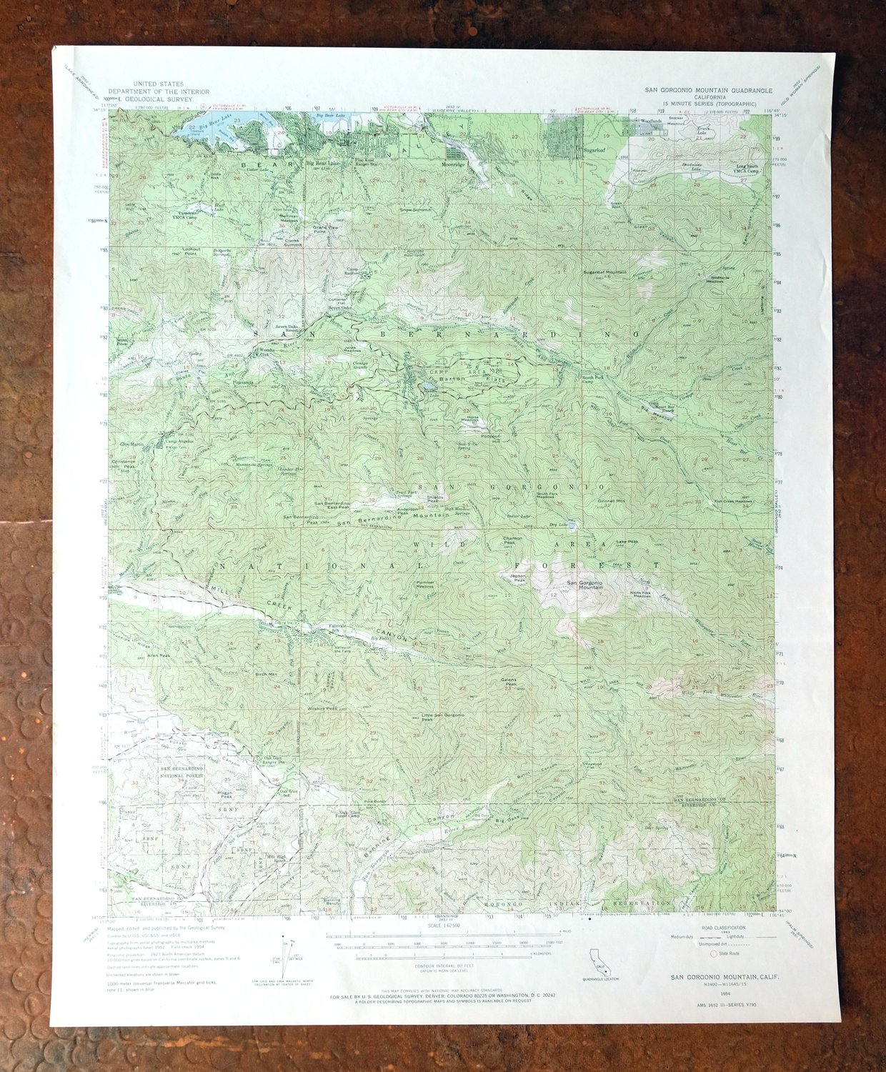
| TITLE | San Gorgonio Mountain |
| STATE | California |
| LOCATION | Vicinity of Yucaipa, 80 miles east of Los Angeles |
| SERIES | 15-minute |
| SURVEYED | 1952 and 1954 Aerial and Field Survey |
| EDITION | 1954 |
| PRINTED | 1966 |
| PRINT NOTES | Thick paper stock, includes woodland tint (green to indicate vegetated areas) |
| SCALE | 1:62500 |
| CONTOUR INTERVAL | 80 feet |
| SHEET DIMENSIONS | 17 x 21 inches |
| MAP DIMENSIONS | 14 1/2 x 17 1/2 inches |
| COVERAGE AREA | 14 x 17 miles |
| SHEET CONDITION For maps of this vintage, effort is made to note all visible flaws, no matter how minor. | |
| OVERALL CONDITION | Very Good |
| SHEET NOTES | lightly handled, never folded |
| MAP AREA | flawless map area |
| COLLARS | no wear or tears, no markings, no blemishes |
| MAP COVERAGE Quadrangle extent overlaid on current basemap. | |
| PLACENAMES Depending on map series and survey date, all of the features listed below may not be shown on this map. This list contains features that currently exist or historically existed within the area covered by the map. The list can be used as a reference to determine if this map covers your area of interest. Placenames are listed alphabetically next to each feature type. | |
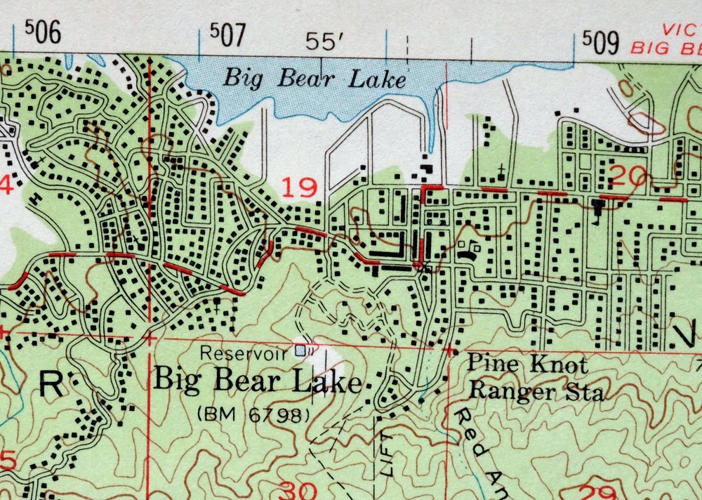
| NOTABLE PLACES | Big Bear Lake, Oak Glen, Forest Falls, and Angelus Oaks |
| CITIES AND TOWNS (CURRENT) | Banning, Calimesa, Cherry Valley, and Yucaipa |
| COUNTIES COVERED | Riverside and San Bernardino |
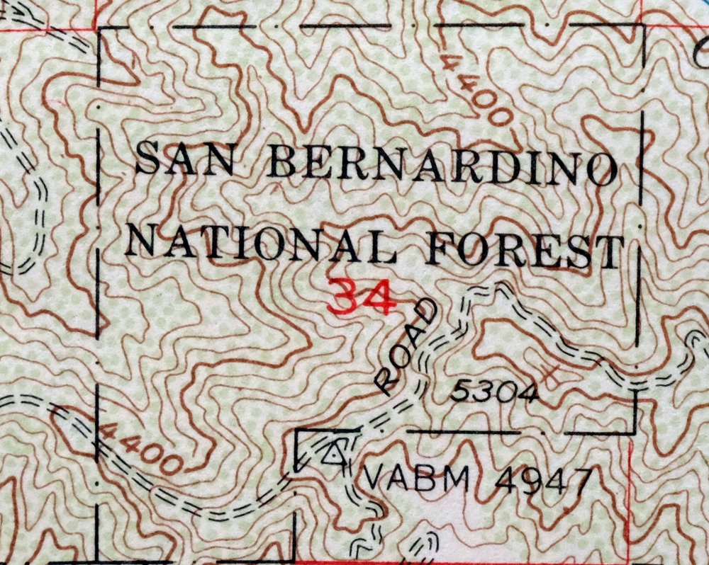
| FEDERAL LAND UNITS | Morongo Indian Reservation, San Bernardino National Forest, and San Gorgonio Wilderness |
| RIVERS AND STREAMS | Alger Creek, Arrastre Creek, Barton Creek, Bear Creek, Boulder Bay, Bridal Veil Creek, Camp Creek, Cold Creek, Converse Creek, Deer Creek, East Fork Barton Creek, East Fork Mountain Home Creek, East Fork Whitewater River, Falls Creek, Fish Creek, Forsee Creek, Glen Martin Creek, Hamilton Creek, Hathaway Creek, Heart Bar Creek, High Creek, Kidd Creek, Little San Gorgonio Creek, Lost Creek, Metcalf Creek, Middle Fork Whitewater River, Momyer Creek, Monkeyface Creek, Mountain Home Creek, Noble Creek, North Creek, North Fork Mission Creek, North Fork Whitewater River, Oak Glen Creek, Potrero Creek, Rathbun Creek, Round Cienaga Creek, San Gorgonio River, Sand Creek, Santa Ana River, Schneider Creek, Siberia Creek, Skinner Creek, Slide Creek, Smith Creek, Snow Creek, South Fork Santa Ana River, South Fork Whitewater River, Stetson Creek, University Creek, Vivian Creek, West Branch Hathaway Creek, West Fork Barton Creek, Wildhorse Creek, Wilson Creek, and Yucaipa Creek |
| WATER BODIES | Bluff Lake, Cedar Lake, Dry Lake, and Jenks Lake |
| Locations: Barton Flats Campground, Barton Flats Forest Service Station, Bear Wallows Campground, Big Bear Marina, Big Falls Campground, Big Falls Trailhead, Buttercup Campsite, Camp Akela, Camp Arbolado, Camp Cedar Falls, Camp Conrad, Camp De Benneville Pines, Camp Edwards, Camp Good News, Camp JCA, Camp LaVerne, Camp Nawakwa, Camp Norris, Camp Oakes, Camp Osceola, Camp Osito Rancho, Camp Radford, Camp River Glen, Camp Round Meadow, Camp Sky Meadow, Camp Ta Ta Pochon, Camp Tahquitz, Camp Tautona, Camp Tulake, Coldbrook Campground, College Camp, Converse Forest Service Station, Council Campground, Deer Campsite, East Fork Cabin, East Landing, Eastwood Landing, Falls Recreation Area, Gibralter Landing, Gold Mine Golf Course, Gold Mine Ski Area, Green Spot, Holloways Camp, Metcalf Bay Landing, Mile High Pines Camp, Mile High Ranch, Mission Springs Campground, Mountain Home Campground, Oak Glen Conservation Camp, Oak Glen Forest Station, Oak Glen Ranger Station, Oso-Lobo Campground, Pasadena Camp, Pine Knot Landing, Pine Powerhouse, Pine Summit Conference Grounds, Pineknot Campground, Pleasure Point Landing, Promised Land Camp, Red Ant Landing, San Gorgonio Campground, Seven Oaks Resort, Snow Forest Ski Area, Snow Summit Ski Area, South Fork Cabin, South Fork Campground, University Camp, Vaquero Campsite, Vivian Creek Trailhead, and Weesha Club. Mountain Ranges: San Bernardino Mountains. Mountains, Peaks, and Summits: Allen Peak, Anderson Peak, Birch Mountain, Castle Rock, Cedar Mountain, Charlton Peak, Constance Peak, Dobbs Peak, Galena Peak, Grand View Point, Grinnell Mountain, Heart Bar Peak, Jepson Peak, Lake Peak, Little Charlton Peak, Little San Gorgonio Peak, Lookout Point, Mountain Home Peak, Oak Glen Peak, Pisgah Peak, Poopout Hill, San Bernadino Peak, San Bernardino East Peak, San Bernardino Mountain, San Gorgonio Mountain, Seven Pines, Shields Peak, Snow Peak, Snow Summit, Sugarloaf Mountain, Sugarlump, and Wilshire Peak. Valleys and Canyons: Big Oaks Canyon, Bow Canyon, Burnt Canyon, Deadmans Canyon, Deer Canyon, Ford Canyon, Gilman Canyon, Green Canyon, Lightning Gulch, Lodge Canyon, May Van Canyon, Middle Branch Millard Canyon, Potato Canyon, Red Ant Canyon, Sand Canyon, Sawmill Canyon, Snow Point Canyon, and Staircase Canyon. Woods: Aspen Grove. Parks: Animal Park, Aspen Glen Picnic Area, Barton Flats Recreation Area, Green Canyon Group Camp, Green Spot Picnic Area, Heart Bar State Park, Jenks Lake Junction Recreation Area, Meadow Park, Moonridge Zoo, San Gorgonio Wilderness, and Washington Monument. Trails: Dollar Lake Trail, Dry Lake Trail, Falls Creek Trail, Fish Creek Trail, Forsee Creek Trail, North Fork Meadows Trail, Oak Glen Divide Trail, Raywood Flat Trail, San Bernardino Peak Divide Trail, Seven Oaks Trail, Sky High Trail, South Fork Trail, Vivian Creek Trail, Wilshire Peak Trail, and Yucaipa Ridge Truck Trail. Drainages: Alger Creek, Barton Creek, Birch Creek, Bridal Veil Creek, Camp Creek, Cienaga Seca Creek, Cold Creek, Converse Creek, Coon Creek, East Fork Barton Creek, East Fork Mountain Home Creek, East Fork South Fork Whitewater River, East Fork Whitewater River, Falls Creek, Fish Creek, Forsee Creek, Frog Creek, Frustration Creek, Glen Martin Creek, Hamilton Creek, Hatchery Creek, Heart Bar Creek, High Creek, Kidd Creek, Kilpecker Creek, Lost Creek, Metcalf Creek, Mile Creek, Momyer Creek, Monkeyface Creek, North Creek, Oak Cove Creek, Oak Creek, Rattlesnake Creek, Round Cienaga Creek, Sand Creek, Schneider Creek, Skinner Creek, Slide Creek, Snow Creek, South Fork Santa Ana River, Stetson Creek, University Creek, Vivian Creek, West Fork Barton Creek, and Wildhorse Creek. Islands: Treasure Island. Capes: Gibralter Point and Inspiration Point. Mines: Mill Creek Mine. Forests: San Bernardino National Forest. Hospitals: Big Bear Community Hospital. Lakes and Ponds: Deadmans Lake, Dollar Lake, Dry Lake, Jenks Lake, and The Tarn. Buildings: Big Bear Lake Branch San Bernardino County Library and Big Oaks Powerhouse. Waterfalls: Big Falls, Monkeyface Falls, Silverwood Falls, and Valley of the Falls. Dams: Barker Dam, Bear Valley 2015 Dam, Big Bear Dam, Cedar Lake 802 Dam, and Glen Martin 800 Dam. Gaps: Clarks Summit, Dollar Lake Saddle, Gunsight Pass, Middle Fork Jumpoff, Mill Creek Jumpoff, and Mine Shaft Saddle. Bays: Boulder Bay, Fisher Cove, Kidd Cove, Mallard Lagoon, and Metcalf Bay. Basins: Gocke Valley. Swamps: Cienaga Grande and Fish Creek Meadows. Schools: Big Bear Elementary School, Big Bear Lake Middle School, Fallsvale Elementary School, Glen Martin Elementary School, and Middle School. Ridges: Deadmans Ridge, Moon Ridge, and Ten Thousand Foot Ridge. Reservoirs and Tanks: Big Bear Lake, Bluff Lake, Cedar Lake, Shadow Lake, and Simmons Trout Lake. Flats: Anderson Flat, Barton Flats, Big Meadows, Burro Flats, Converse Flats, Erwin Lake, Filaree Flat, Hathaway Flat, Horse Meadows, Jenks Meadow, Johns Meadow, Merriman Meadows, North Fork Meadows, Plummer Meadows, Raywood Flat, Red Rock Flat, Shields Flat, South Fork Meadows, Stocker Meadows, Sugarloaf Meadow, and Wildhorse Meadows. Towers: KBBL-TV (Big Bear Lake), KBBV-AM (Big Bear Lake), KLRD-FM (Yucaipa), and KTOT-FM (Big Bear Lake). Springs: Bear Wallow Spring, Bellyache Springs, Columbine Spring, Deer Spring, Green Spring, High Meadow Springs, Limber Pine Springs, Lodgepole Spring, Manzanita Springs, May Spring, San Y Ca Spring, Trail Fork Springs, and Wildhorse Spring. | |
| SHIPPING AND RETURNS | |
 This map sheet will be carefully rolled in a sturdy tube and shipped via the US Postal Service. If you find that the sheet you receive is not as described in the listing, you may ship it back to us for a refund of the purchase price. | |
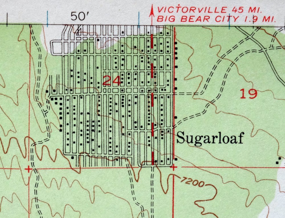
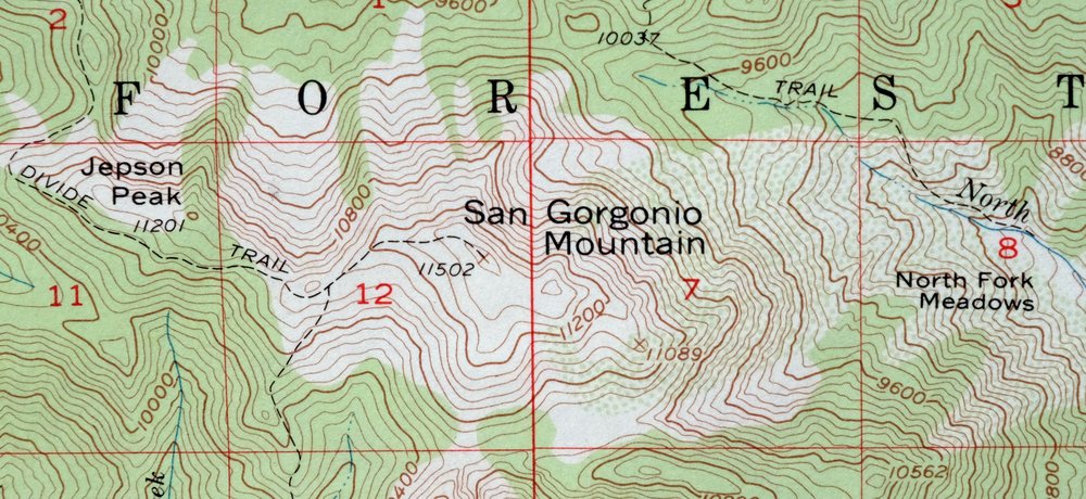
1966 San Gorgonio Mountain California USGS Topo Map
$47
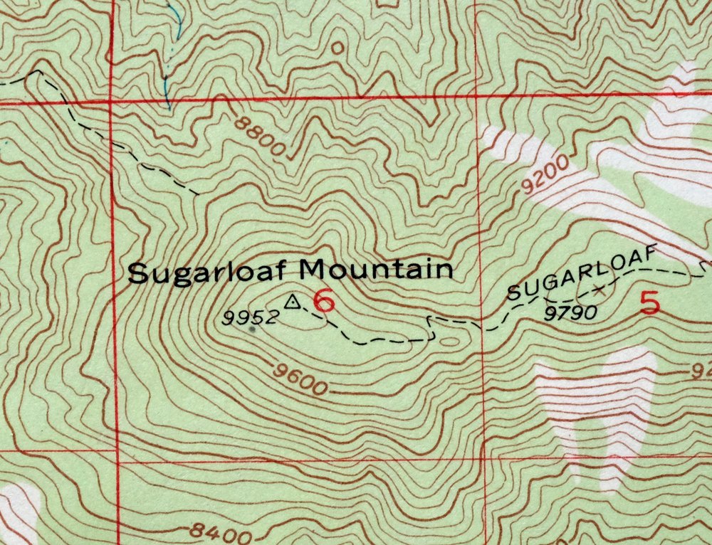
This 15-minute topographic sheet centers on San Gorgonio Mountain, printed in 1966 from a 1954 edition surveyed by aerial and field methods in 1952 and 1954. At 1:62,500, it covers the high country east of Yucaipa, reaching down to Banning, Cherry Valley, and Calimesa, and takes in portions of the San Bernardino National Forest and the San Gorgonio Wilderness. San Gorgonio is the highest peak in Southern California at over 11,000 feet, and the 80-foot contours trace its steep rise above the valley floor. The never-folded sheet is in very good condition and suits framing.
In stock
This vintage sheet is a 1954 edition of the San Gorgonio Mountain California USGS topographic map. It is an original 60-year-old 1966 United States Geological Survey print in very good condition.
HOW THIS MAP CAN BE USED
In addition to making a fascinating conversation piece, this sheet would look great in a frame or on display, make a unique and prized gift for anyone interested in this area, be perfect as a reference for genealogy studies or general historical research, or fill that missing piece in your collection. Maps of this vintage are printed on durable stock and are well-suited for outdoor activities and recreation of all kinds, including hiking, backpacking, hunting, rafting and kayaking, backcountry skiing, geocaching, general exploration, treasure hunting, etc.
FEATURES SHOWN ON THE MAP
The San Gorgonio Mountain 15-minute map shows cities and towns, roads, railroads, utilities and energy infrastructure, rivers, creeks, elevation contour lines, public land survey lines, county, state, and other administrative boundaries as they existed at the time of the survey in 1952 and 1954. All known structures (houses, businesses, churches, schools, barns, cabins, etc) are also shown.
A VALUABLE HISTORICAL RECORD
Maps from the 15-minute series for the continental United States are no longer produced or printed by the USGS and original prints are becoming increasingly difficult to find. They are a valuable historical record for an area, as they contain many placenames and features that have been dropped from more recent maps.
Nearby maps
-
Hemet California Valle Vista Valle Vista USGS Topo Map 1943
$39 Add to cart -
Apple Valley California Bell Mountain USGS Topo Map 1968
$29 Add to cart -
Cucamonga California Ontario Chino USGS Topographic Map 1917
$30 Add to cart -
1959 Ontario California USGS Topo Map: Chino
$54 Add to cart -
San Antonio California Wrightwood USGS Topo Map 1903 Antique
$42 Add to cart -
Shadow Mountains California El Mirage USGS Topo Map 1948
$28 Add to cart -

1965 USGS Topo Map: Coachella, Indio, California
$47 Add to cart -
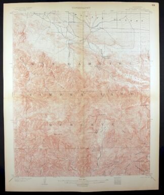
Rock Creek California Angeles NF USGS Topo Map 1903 Antique
$52 Add to cart -
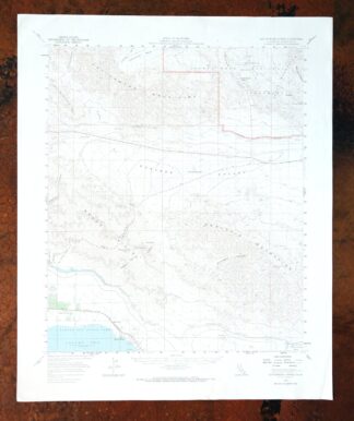
Cottonwood Spring California USGS Topo Map 1973 Vintage
$39 Add to cart -
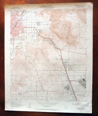
Riverside East California Edgemont USGS Topographic Map 1955
$40 Add to cart -

1969 USGS Topo Map: Riverside East, California
$46 Add to cart -
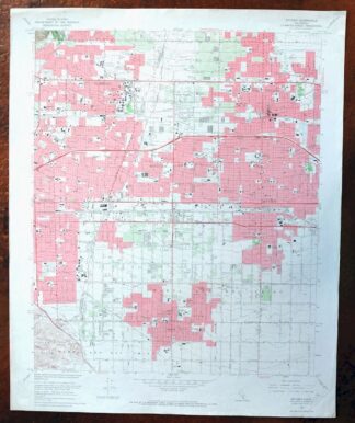
1969 USGS Topo Map: Ontario, Rancho Cucamonga, California
$35 Add to cart -

Temecula California Fallbrook Rainbow USGS Topo Map 1978
$38 Add to cart -
Orange Anaheim California Vintage USGS Topographic Map 1970
$36 Add to cart -

Anaheim California Santa Ana Garden Grove USGS Topo Map 1956
$44 Add to cart -
1955 Boron California USGS Topo Map: California City
$20 Add to cart -
Inglewood California Los Angeles Torrance USGS Topo Map 1965
$45 Add to cart -
Rosamond California Lancaster Actis USGS Topo Map 1957
$27 Add to cart -

San Fernando California Angeles NF USGS Topographic Map 1955
$26 Add to cart -
1978 USGS Topo Map: La Jolla, San Diego, California
$27 Add to cart -
1980 Oat Mountain California USGS Topo Map: Los Angeles
$34 Add to cart -

1950 Santa Catalina East California USGS Topo Map: Avalon
$35 Add to cart -

Potrero California Morena Village Tecate USGS Topo Map 1954
$27 Add to cart -
Santa Susana California Brandeis USGS Topographic Map 1970
$42 Add to cart
