MAP DETAILS | |
|---|---|
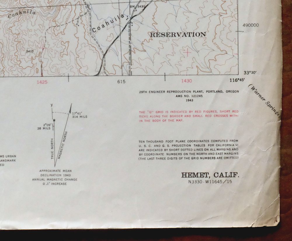
| TITLE | Hemet |
| STATE | California |
| LOCATION | 40 miles southeast of Riverside |
| SERIES | 15-minute |
| SURVEYED | 1938 through 1942 Aerial and Field Survey |
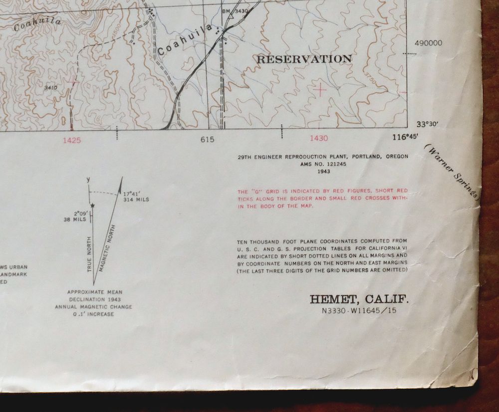
| EDITION | 1943 |
| PRINTED | 1943 |
| PRINT NOTES | Thick paper stock, includes woodland tint (green to indicate vegetated areas). A gray tint is used to indicate urban areas where only landmark buildings are shown. |
| SCALE | 1:62500 |
| CONTOUR INTERVAL | 50 feet |
| SHEET DIMENSIONS | 17 1/4 x 22 inches |
| MAP DIMENSIONS | 14 5/8 x 17 1/2 inches |
| COVERAGE AREA | 14 x 17 miles |
| SHEET CONDITION For maps of this vintage, effort is made to note all visible flaws, no matter how minor. | |
| OVERALL CONDITION | Good |
| SHEET NOTES | moderately handled, never folded |
| MAP AREA | no wear, no markings, no blemishes |
| COLLARS | moderate wear or tears, no markings, very minor blemishes |
 | |
| MAP COVERAGE Quadrangle extent overlaid on current basemap. | |
| PLACENAMES Depending on map series and survey date, all of the features listed below may not be shown on this map. This list contains features that currently exist or historically existed within the area covered by the map. The list can be used as a reference to determine if this map covers your area of interest. Placenames are listed alphabetically next to each feature type. | |
| CITIES AND TOWNS (CURRENT) | East Hemet, Hemet, Idyllwild-Pine Cove, and Valle Vista |
| COUNTIES COVERED | Riverside |
| FEDERAL LAND UNITS | Cahuilla Indian Reservation and San Bernardino National Forest |
| RIVERS AND STREAMS | Bautista Creek, Cahuilla Creek, Elder Creek, Horse Creek, North Fork San Jacinto River, San Jacinto River, South Fork San Jacinto River, Strawberry Creek, Temecula Creek, Tucalota Creek, and Wilson Creek |
| WATER BODIES | Little Lake and Vail Lake |
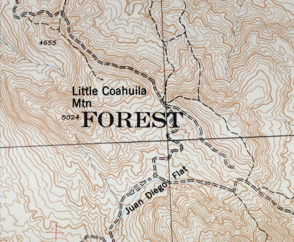
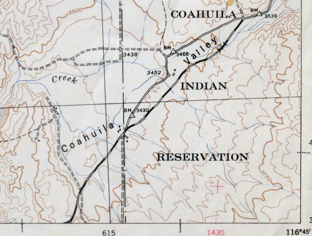
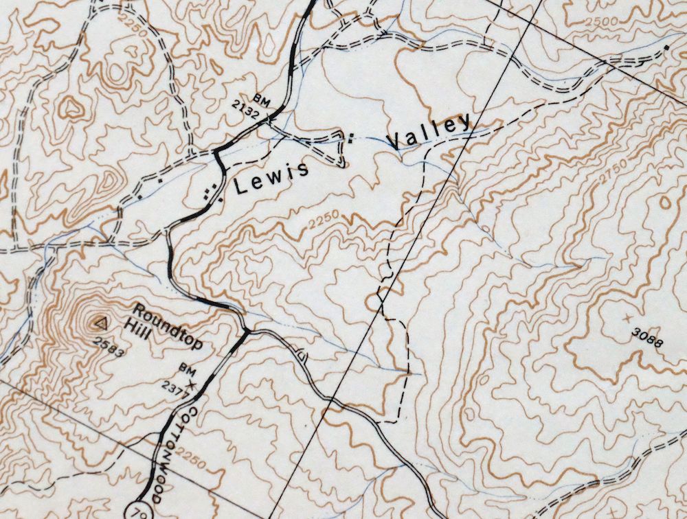
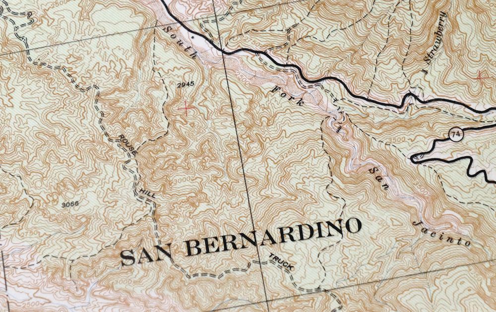
| Locations: Bautista Guard Station, Cranston Forest Service Station, Diamond Valley Golf Range, Diamond Valley Shopping Center, Echo Hills Golf Course, Goodhart Ranch, Hemet East Shopping Center, Hemet Plaza Shopping Center, Hemet Polo Club, Hemet Valley Mall Shopping Center, Indian Oaks Campground, Little Lake Campground, Mission Ranch, Panorama Golf Course, Ramona Plaza Shopping Center, Red Mountain Lookout, Searl Ranch, Seven Hills Golf Course, Seven Hills Shopping Center, and Tripp Flats Forest Service Faciltiy. Mountain Ranges: Black Hills and Santa Rosa Hills. Mountains, Peaks, and Summits: Cahuilla Mountain, Fisherman Point, Hemet Butte, Little Cahuilla Mountain, Mica Butte, Oak Mountain, Polly Butte, Red Mountain, Reservoir Butte, Roundtop, and Rouse Hill. Valleys and Canyons: Avery Canyon, Bautista Canyon, Bee Canyon, Blackburn Canyon, Brown Canyon, Cactus Valley, Cholla Canyon, Elder Canyon, Glenoak Valley, Goodhart Canyon, Green Canyon, Kimmel Canyon, Lewis Valley, Lion Canyon, Lorenz Canyon, Pixley Canyon, Protzman Canyon, Railroad Canyon, Reed Valley, Saint Johns Canyon, Sand Canyon, Selgato Canyon, Toll Road Canyon, Tucalota Valley, Weber Valley, and Willow Canyon. Parks: Gibbel Park, Glenoak Hills Park, James Simpson Park, and Weston Park. Trails: Alessandro Trail, Rouse Hill-Bautista Canyon Trail, and South Fork Trail. Drainages: Baisley Creek, Dry Creek, Elder Creek, Horse Creek, North Fork San Jacinto River, South Fork San Jacinto River, and Strawberry Creek. Mines: Williamson Mine. Churches: Calvary Baptist Church, Church of Christ, Church of the Nazarene, Community Christian Church, Dwelling Place Family Church, Episcopal Church of the Good Shepherd, First Assembly of God Church, First Baptist Church, First Christian Church, First Church of Christ Scientist, First Church of Religious Science, First Presbyterian Church, Fountain of Life Church of God, Hemet United Methodist Church, Hemet Valley Christian Church, Maranatha Fellowship Church, Our Lady of the Valley Catholic Church, Saint Johns Lutheran Church, Seventh Day Adventist Church, Truth Tabernacle of Hemet, Unity Valley Church, and Valley Evangelical Free Church. Hospitals: Hemet Valley Medical Center. Buildings: Domenigoni Valley Reservoir Project Visitors Center, Hemet Chamber of Commerce, Hemet Civic Center, Hemet Public Library, International Bank Note Society Library, Ramona Bowl Museum, and Valle Vista Branch Riverside City and County Public Library. Dams: Little Lake 817-002 Dam. Bluffs: Oak Cliff. Canals: Lake Hemet Main Canal and South Ditch. Bends: White Post Turn. Airports: Clark Ranch Airpark, Ernst Field, and Lake Riverside Estates Airport. Schools: Acacia Middle School, Alessandro High School, Baptist Christian High School, Bautista Creek Elementary School, Helen Hunt Jackson Alternative High School, Hemet Adult School, Hemet Elementary School, Hemet Senior High School, Hemet Valley Seventh Day Adventist School, Little Lake School, Ramona Elementary School, San Ignacio School, Valle Vista Elementary School, Whittier Elementary School, and Willow Brook School. Ridges: Blackburn Ridge and Rocky Ridge. Reservoirs and Tanks: Cahuilla Lake, Little Lake, and Lake Riverside. Flats: Alvin Meadows, Chimney Flats, Gibbe Flat, Hixon Flat, and Juan Diego Flat. Towers: KHSJ-AM (Hemet) and KHYE-FM (Hemet). Springs: Adobe Spring, Bautista Spring, Duval Spring, Halfway Spring, Milky Spring, and Rancho Spring. Slopes: Saint Johns Grade. | |
| SHIPPING AND RETURNS | |
 This map sheet will be carefully rolled in a sturdy tube and shipped via the US Postal Service. If you find that the sheet you receive is not as described in the listing, you may ship it back to us for a refund of the purchase price. | |
Hemet California Valle Vista Valle Vista USGS Topo Map 1943
$48
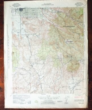
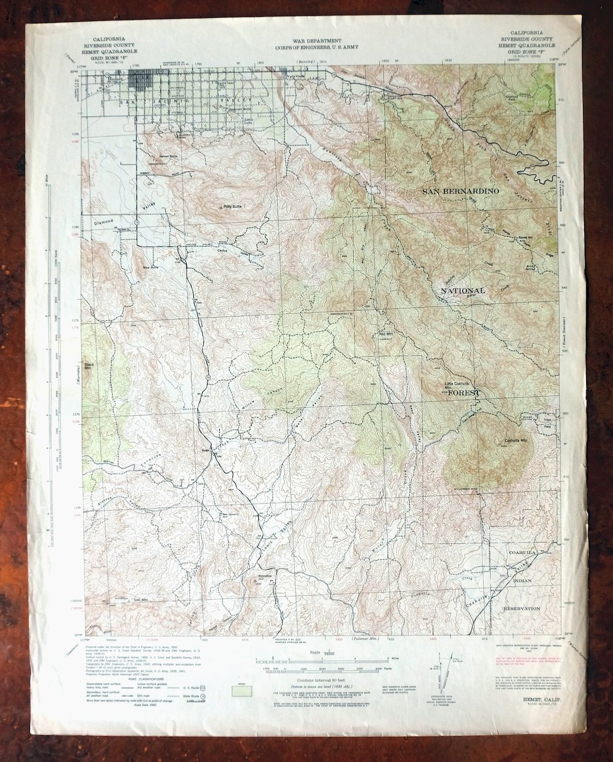
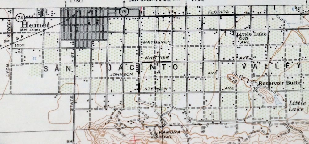
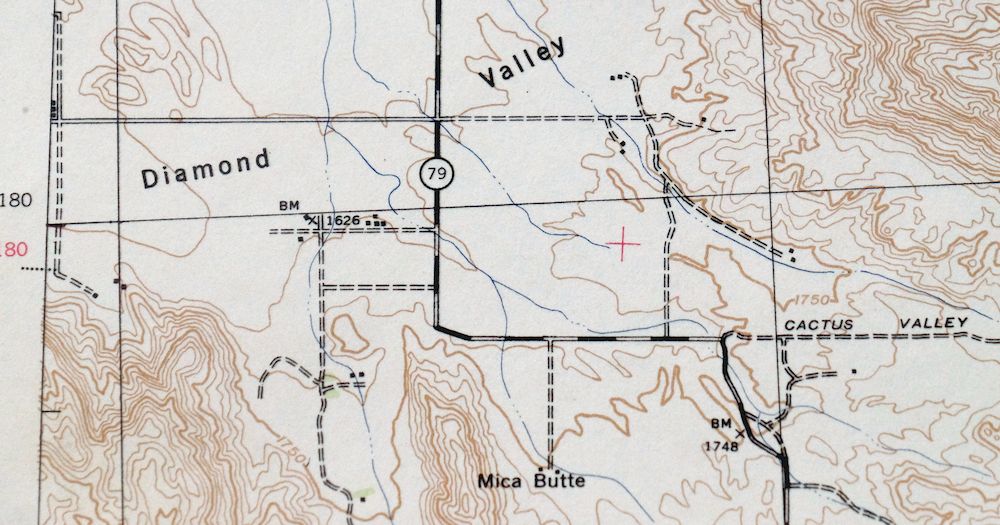
Printed in its year of first publication, 1943, this is an Army Corps of Engineers topographic sheet on the 15-minute series, in good condition on thick stock and never folded. Roughly 40 miles southeast of Riverside in Riverside County, the quad area takes in Hemet, East Hemet, and Valle Vista, along with the mountain community of Idyllwild-Pine Cove and portions of San Bernardino National Forest and the Cahuilla Indian Reservation. Drawn from a 1938 through 1942 aerial and field survey, it records the San Jacinto valley and the ranges rising to the east as they stood during the war years, when much Corps mapping was tied to the era’s demands. The map area shows no wear and no markings; the collar carries moderate wear or tears with very minor blemishes.
In stock
This vintage sheet is a 1943 edition of the Hemet California USACE topographic map. It is an original 83-year-old US Army Corp of Engineers print in good condition.
HOW THIS MAP CAN BE USED
In addition to making a fascinating conversation piece, this sheet would look great in a frame or on display, make a unique and prized gift for anyone interested in this area, be perfect as a reference for genealogy studies or general historical research, or fill that missing piece in your collection.
FEATURES SHOWN ON THE MAP
The Hemet 15-minute map shows cities and towns, roads, railroads, rivers, creeks, elevation contour lines, public land survey lines, county, state, and other administrative boundaries as they existed at the time of the survey in 1938 through 1942. A gray tint is used on this sheet to indicate urban areas where only landmark buildings are depicted. Outside of those areas, all known structures (houses, businesses, churches, schools, barns, cabins, etc) are shown.
A VALUABLE HISTORICAL RECORD
Maps from the 15-minute series for the continental United States are no longer produced or printed by the USACE and original prints are becoming increasingly difficult to find. They are a valuable historical record for an area, as they contain many placenames and features that have been dropped from more recent maps.
Nearby maps
-
Cucamonga California Ontario Chino USGS Topographic Map 1917
$46 Add to cart -
Cottonwood Spring California USGS Topo Map 1973 Vintage
$39 Add to cart -
San Antonio California Wrightwood USGS Topo Map 1903 Antique
$42 Add to cart -

Temecula California Fallbrook Rainbow USGS Topo Map 1978
$38 Add to cart -
Riverside East California Edgemont USGS Topographic Map 1955
$40 Add to cart -
Orange Anaheim California Vintage USGS Topographic Map 1970
$36 Add to cart -

Anaheim California Santa Ana Garden Grove USGS Topo Map 1956
$39 Add to cart -
Apple Valley California Bell Mountain USGS Topo Map 1968
$32 Add to cart -

Potrero California Morena Village Tecate USGS Topo Map 1954
$27 Add to cart -
Rock Creek California Angeles NF USGS Topo Map 1903 Antique
$52 Add to cart -
Shadow Mountains California El Mirage USGS Topo Map 1948
$28 Add to cart -

Santa Catalina East California Avalon USGS Topo Map 1950
$35 Add to cart -
Inglewood California Los Angeles Torrance USGS Topo Map 1965
$48 Add to cart -

Santa Catalina South California USGS Topo Map 1950 Vintage
$30 Add to cart -

San Fernando California Angeles NF USGS Topographic Map 1955
$26 Add to cart -
Santa Susana California Brandeis USGS Topographic Map 1970
$42 Add to cart -
Newbury Park California Camarillo USGS Topographic Map 1972
$45 Add to cart -
Moorpark California Somis USGS 7.5-Min Topo Map 1978 Vintage
$42 Add to cart -
Cibola Arizona Palo Verde Trigo Mountains USGS Topo Map 1961
$41 Add to cart -
Santa Paula California Camarillo USGS Topo Map 1980 Vintage
$49 Add to cart -
Yuma California San Luis Somerton USGS Topo Map 1954 Vintage
$40 Add to cart -
Saticoy California El Rio Montalvo USGS Topographic Map 1968
$39 Add to cart -
Trigo Peaks Arizona Dome Rock Mountains USGS Topo Map 1955
$37 Add to cart -

Emerald Mountain California USGS 15-Min Topographic Map 1943
$37 Add to cart