MAP DETAILS | |
|---|---|
| TITLE | Nutters Hole |
| STATE | Utah |
| LOCATION | 35 miles southeast of Duchesne |
| SERIES | 15-minute |
| SURVEYED | 1951 and 1952 Aerial and Field Survey |
| EDITION | 1953 |
| PRINTED | 1974 |
| PRINT NOTES | Thick paper stock, includes woodland tint (green to indicate vegetated areas) |
| SCALE | 1:62500 |
| CONTOUR INTERVAL | 40 feet |
| SHEET DIMENSIONS | 18 x 22 inches |
| MAP DIMENSIONS | 13 3/8 x 17 1/2 inches |
| COVERAGE AREA | 13 x 17 miles |
| SHEET CONDITION For maps of this vintage, effort is made to note all visible flaws, no matter how minor. | |
| OVERALL CONDITION | Excellent |
| SHEET NOTES | lightly handled, never folded |
| MAP AREA | flawless map area |
| COLLARS | no wear or tears, no markings, no blemishes |
| MAP COVERAGE Quadrangle extent overlaid on current basemap. | |
| PLACENAMES Depending on map series and survey date, all of the features listed below may not be shown on this map. This list contains features that currently exist or historically existed within the area covered by the map. The list can be used as a reference to determine if this map covers your area of interest. Placenames are listed alphabetically next to each feature type. | |
| NOTABLE PLACES | Desolation Canyon, Green River, and Nine Mile Canyon |
| COUNTIES COVERED | Carbon, Duchesne, and Uintah |
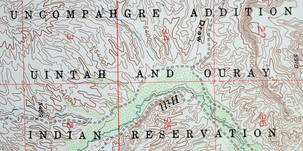
| FEDERAL LAND UNITS | Desolation Canyon Wilderness Study Area and Uintah and Ouray Indian Reservation |
| RIVERS AND STREAMS | Hill Creek and Ninemile Creek |
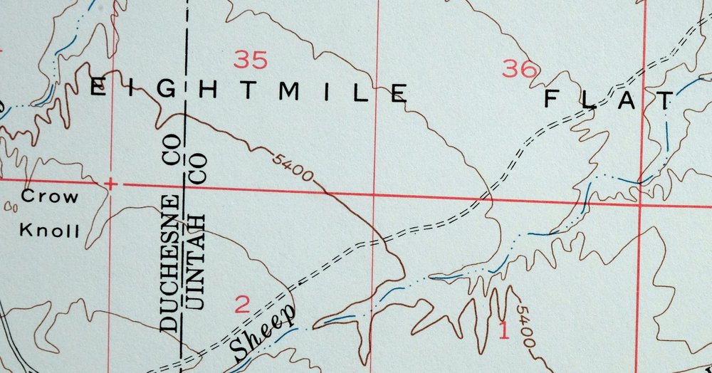
| Locations: Sand Wash River Ranger Station and Put In Site. Mountains, Peaks, and Summits: Antelope Knolls, Crow Knoll, Flu Knolls, and Gray Knolls. Valleys and Canyons: Alger Draw, Desert Spring Wash, Dog Knoll Draw, Fourmile Wash, Kings Canyon, Maverick Canyon, Ninemile Canyon, Petes Wash, Road Draw, Rock Spring Draw, Sand Wash, Sheep Wash, Tabyago Canyon, and West Tabyago Canyon. Parks: Desolation Canyon Historical Landmark. Drainages: Nine Mile Creek. Crossings: Sand Wash Ferry. Bluffs: The Wrinkles. Gaps: Alger Pass. Bends: Boat Bottom, Duches Hole, Fourmile Bottom, Gold Hole, Hydes Bottom, Kings Canyon Bottom, Little Horse Bottom, Long Bottom, Maverick Bottom, Moon Bottom, Nutters Hole, Ranch Bottom, Rays Bottom, and Snider Bottom. Basins: Sumner Amphitheater. Bars: Blue Stem and Slough Grass. Airports: Sand Wash Airport. Reservoirs and Tanks: Coleman Reservoir, Flu Knoll Reservoir, Kilroy Reservoir, and Sheep Reservoir. Bench: Horse Bench and Wild Horse Bench. Plains and Plateaus: Little Desert. | |
| SHIPPING AND RETURNS | |
 This map sheet will be carefully rolled in a sturdy tube and shipped via the US Postal Service. If you find that the sheet you receive is not as described in the listing, you may ship it back to us for a refund of the purchase price. | |
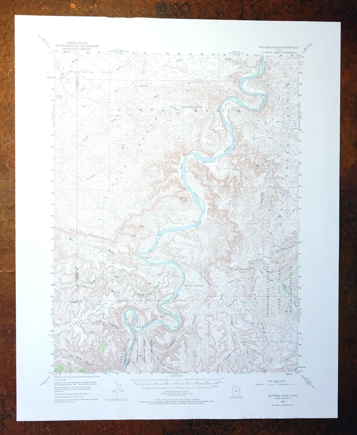
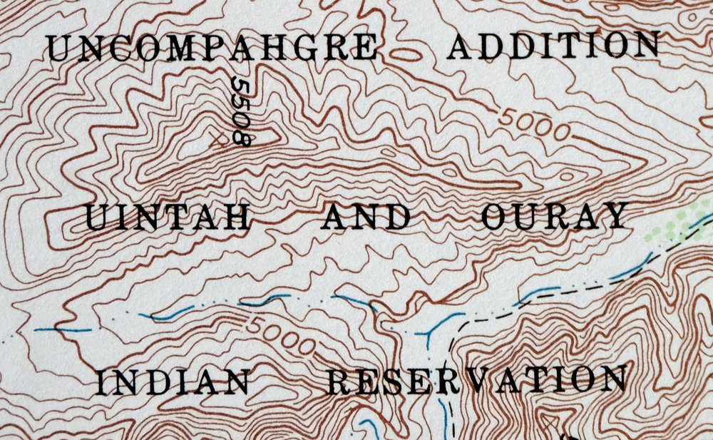
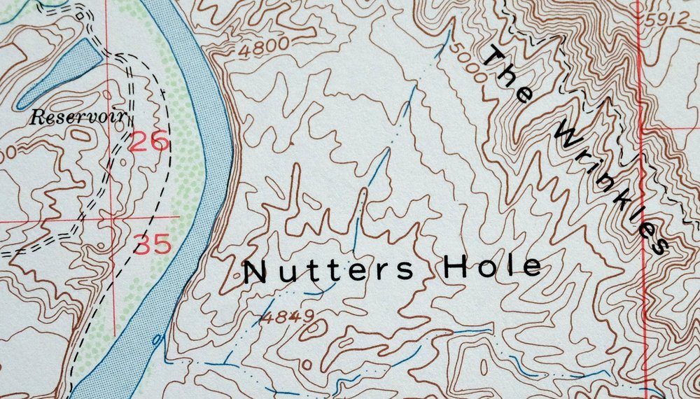
1974 Nutters Hole Utah USGS Topo Map: Desolation Canyon
$38
This 15-minute topographic map of Nutters Hole, Utah, was first published as a 1953 edition and printed in 1974 on thick stock, its vegetated areas picked out in a green woodland tint. The quad lies about 35 miles southeast of Duchesne, where the Green River cuts through Desolation Canyon, and reaches across parts of Carbon, Duchesne, and Uintah counties and into the Uintah and Ouray Indian Reservation. This is deep, remote country – Desolation Canyon is one of the longest unbroken stretches of wilderness river canyon in the lower United States.
In stock
This vintage sheet is a 1953 edition of the Nutters Hole Utah USGS topographic map. It is an original 52-year-old 1974 United States Geological Survey print in excellent condition.
HOW THIS MAP CAN BE USED
In addition to making a fascinating conversation piece, this sheet would look great in a frame or on display, make a unique and prized gift for anyone interested in this area, be perfect as a reference for genealogy studies or general historical research, or fill that missing piece in your collection. Maps of this vintage are printed on durable stock and are well-suited for outdoor activities and recreation of all kinds, including hiking, backpacking, hunting, rafting and kayaking, backcountry skiing, geocaching, general exploration, treasure hunting, etc.
FEATURES SHOWN ON THE MAP
The Nutters Hole 15-minute map shows cities and towns, roads, railroads, utilities and energy infrastructure, rivers, creeks, elevation contour lines, public land survey lines, county, state, and other administrative boundaries as they existed at the time of the survey in 1951 and 1952. All known structures (houses, businesses, churches, schools, barns, cabins, etc) are also shown.
A VALUABLE HISTORICAL RECORD
Maps from the 15-minute series for the continental United States are no longer produced or printed by the USGS and original prints are becoming increasingly difficult to find. They are a valuable historical record for an area, as they contain many placenames and features that have been dropped from more recent maps.
Nearby maps
-
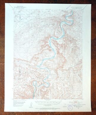
1954 USGS Topo Map: Nutters Hole, Desolation Canyon, Utah
$45 Add to cart -
Sunnyside Utah Book Cliffs East Carbon USGS Topo Map 1915
$57 Add to cart -
1956 USGS Topo Map: Range Creek, Desolation Canyon, Utah
$42 Add to cart -
Woodside Utah Book Cliffs Cedar USGS Topographic Map 1973
$22 Add to cart -

Castle Gate Utah Price Helper USGS Topo Map 1968 Vintage
$44 Add to cart -
Soldier Summit Utah Gilluly Colton USGS Topographic Map 1942
$49 Add to cart -
1957 USGS Topo Map: Scofield, Clear Creek, Utah (Wattis)
$46 Add to cart -

Duchesne Utah Roosevelt Neola USGS Topo Map 1939 Antique
$36 Add to cart -

Jensen Utah Vernal Dinosaur USGS 30-Min Topographic Map 1910
$43 Add to cart -

Hayden Peak Utah Uinta Mountains USGS Topo Map 1946 Vintage
$44 Add to cart -
The Wickiup Utah Mexican Mountain WSA USGS Topo Map 1967
$20 Add to cart -

Castle Dale Utah Ferron Clawson USGS Topographic Map 1925
$47 Add to cart -
1968 USGS Topo Map: Castle Dale, Ferron, Utah (1923 Edition)
$44 Add to cart -

Roan Creek Colorado USGS 15-Min Topographic Map 1950 Vintage
$39 Add to cart -
Grand Junction Colorado Redlands USGS Topo Map 1964 Vintage
$56 Add to cart -
Provo Utah Uinta NF Spanish Fork USGS Topo Map 1959 Vintage
$36 Add to cart -

Moroni Utah Fountain Green USGS 15-Min Topo Map 1968 Vintage
$39 Add to cart -
The Spur Utah Canyonlands USGS 15-Min Topo Map 1971 Vintage
$38 Add to cart -
1971 Santaquin Utah USGS Topo Map: Mona (1951 Edition)
$42 Add to cart -
1973 Nephi Utah USGS Topo Map: Levan (San Pitch Mountains)
$42 Add to cart -
Grand Hogback Colorado Rifle Silt USGS Topographic Map 1959
$35 Add to cart -
Monument Butte Colorado Moffat Hamilton USGS Topo Map 1915
$52 Add to cart -

Hatch Rock La Sal Utah Vintage Original USGS Topo Map 1965
$20 Add to cart -
Fiddler Butte Utah USGS 15-Min Topographic Map 1958 Vintage
$38 Add to cart