MAP DETAILS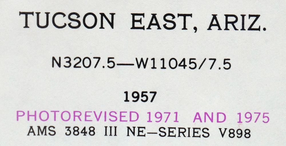 | |
|---|---|
| TITLE | Tucson East |
| STATE | Arizona |
| SERIES | 7.5-minute |
| SURVEYED | 1954 and 1957 Aerial and Field Survey |
| EDITION | 1957 |
| REVISIONS | Photo revisions in 1971 and 1975 are shown in purple. |
| PRINTED | 1977 |
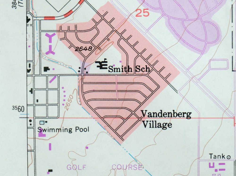
| PRINT NOTES | Thick paper stock, includes woodland tint (green to indicate vegetated areas). A reddish tint is used to indicate urban areas where only landmark buildings are shown. |
| SCALE | 1:24000 |
| CONTOUR INTERVAL | 10 feet |
| SHEET DIMENSIONS | 22 x 27 inches |
| MAP DIMENSIONS | 19 1/4 x 22 3/4 inches |
| COVERAGE AREA | 7 x 9 miles |
| MAP NOTES | Documents the eastward expansion of Tucson's suburbs toward the Rincon Mountains. |
| SHEET CONDITION For maps of this vintage, effort is made to note all visible flaws, no matter how minor. | |
| OVERALL CONDITION | Excellent |
| SHEET NOTES | very lightly handled, never folded |
| MAP AREA | flawless map area |
| COLLARS | no wear or tears, no markings, no blemishes |
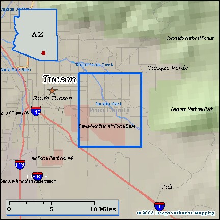
| MAP COVERAGE Quadrangle extent overlaid on current basemap. | |
| PLACENAMES Depending on map series and survey date, all of the features listed below may not be shown on this map. This list contains features that currently exist or historically existed within the area covered by the map. The list can be used as a reference to determine if this map covers your area of interest. Placenames are listed alphabetically next to each feature type. | |
| NOTABLE PLACES | Old Spanish Trail, Pantano Wash, and Davis-Monthan |
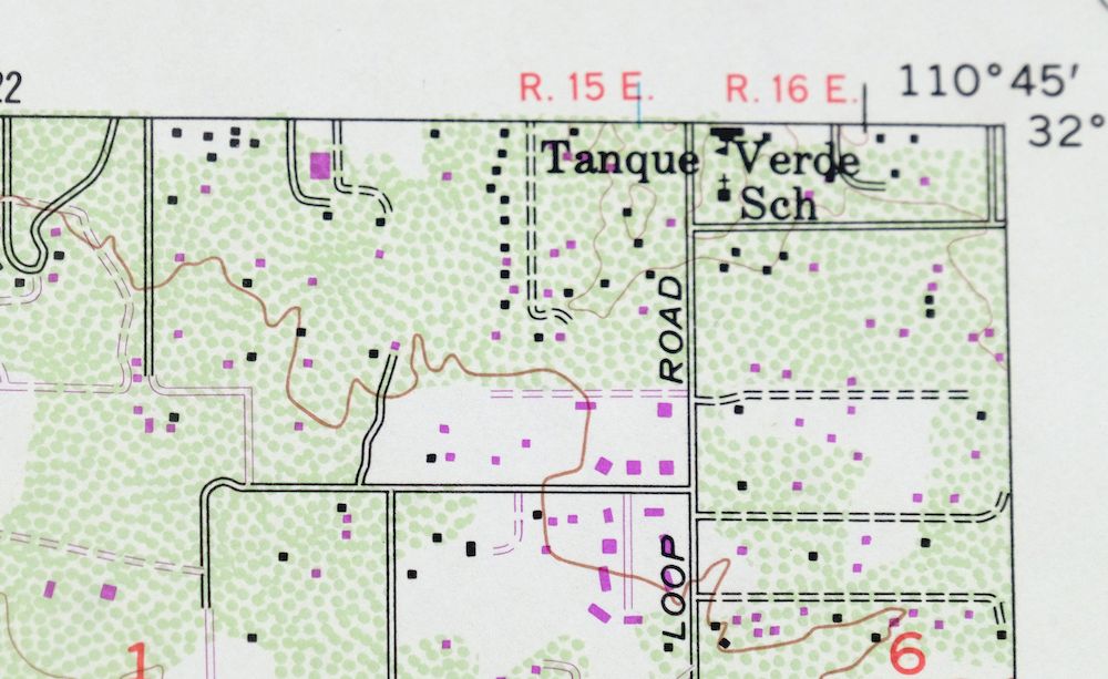
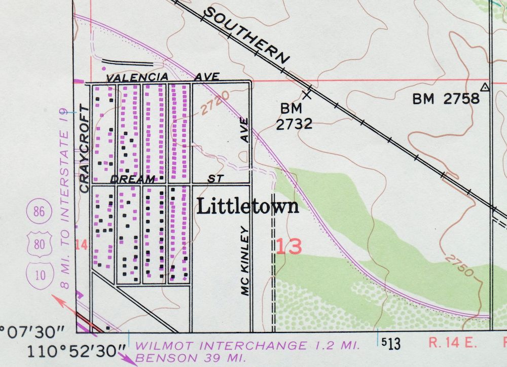
| CITIES AND TOWNS (CURRENT) | Littletown, Tanque Verde, and Tucson |
| COUNTIES COVERED | Pima |
| FEDERAL LAND UNITS | Davis-Monthan Air Force Base |
| RIVERS AND STREAMS | Tanque Verde Wash |
| Locations: Berkshire Village, Broadway Seven Thousand Shopping Center, Burcham Plaza Shopping Center, Country Fair Shopping Center, Desert Square Shopping Center, East Gate Plaza Shopping Center, El Dorado Country Club, El Tangue Golf Course, Fred Enke Golf Course, Harrison Mall, Monterey Village Shopping Center, Oxford Plaza Shopping Center, Palo Verde Plaza Shopping Center, Pantano Parkview Shopping Center, Pantano Plaza Shopping Center, Park Mall, Rolling Hills Shopping Center, Saguaro Vista Shopping Center, The Groves Shopping Center, Tucson Trap and Skeet Club, and Wilmot Plaza Shopping Center. Mountains, Peaks, and Summits: Poorman Range. Arroyos and Washes: Atterbury Wash and Kinnison Wash. Parks: Cedar Groves Park, Escalante Park, Harold Bell Wright Park, Hearthstone Park, Jesse Owens Park, Lakeside Park, Lincoln Regional Park, Littletown Park, Mesa Village Park, Morris K Udall Regional Park, Palo Verde Park, San Paulo Village Park, Sears Park, Stefan Gollob Park, The Groves Park, Thomas Jay Regional Park, Tierra del Sol Park, Villa Serena Park, Vista del Prado Park, and Wilshire Heights Park. Drainages: Agua Caliente Wash. Hospitals: Davis Monthan Hospital, El Dorado Medical Center, and Saint Joseph Hospital. Buildings: United States Geological Survey Magnetic Observatory. Dams: Lakeside Park Dam. Crossings: Twenty-second Street Overpass. Airports: Allied Airstrip and Cregier Airport. Schools: Arizona Sunshine School, Bloom School, Booth Elementary School, Brown School, Carson Junior High School, Craycroft School, Dietz School, Dunham School, Erickson Elementary School, Ford Elementary School, Gale School, Gridley Junior High School, Henry School, Hi Corbett School, Hudlow School, Kellond School, Lyons School, Magee Junior High School, Marshall School, Palo Verde High School, Pickett Junior High School, Pima College East Campus, Reina Cleri Seminary, Reynolds School, Rogers School, Sahuaro High School, Saint Josephs Academy, Saint Josephs School, Santa Rita High School, Schumaller School, Seacrist Junior High, Sewell School, Smith School, Steele School, Tanque Verde School, The Abbie Loveland Tuller School, The Sahuaro School, Treehaven School, Van Horne School, Wheeler School, and Wrightstown School. | |
| SHIPPING AND RETURNS | |
 This map sheet will be carefully rolled in a sturdy tube and shipped via the US Postal Service. If you find that the sheet you receive is not as described in the listing, you may ship it back to us for a refund of the purchase price. | |
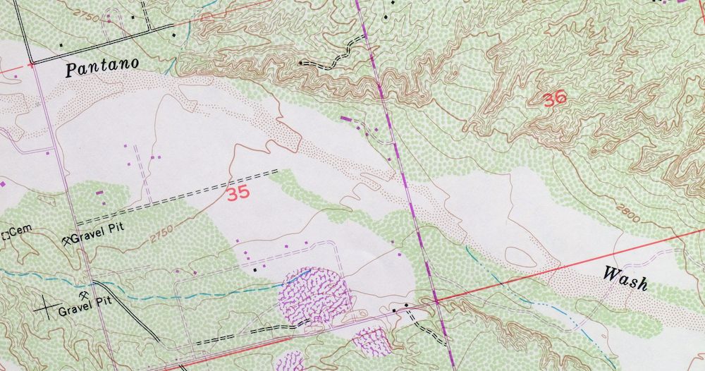
1977 USGS Topo Map: Tucson East, Old Spanish Trail, Arizona
$57
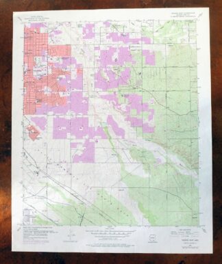
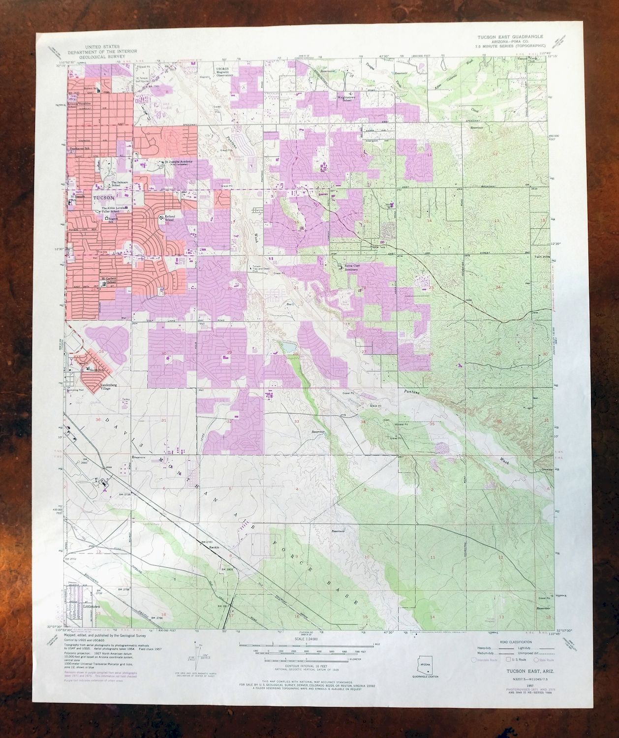
Documents the eastward expansion of Tucson’s suburbs toward the Rincon Mountains. This 1:24,000-scale topographic sheet of the Tucson East quadrangle in Pima County, Arizona, is a 1957 edition printed in 1977, drawn from aerial and field survey work and later revised. It covers the eastern side of Tucson and surrounding communities including Tanque Verde and Littletown, with the Old Spanish Trail, Pantano Wash, and the edge of Davis-Monthan Air Force Base falling within its roughly seven-by-nine-mile area.
In stock
This vintage sheet is a 1957 edition of the Tucson East Arizona USGS topographic map revised in 1971 and 1975 using aerial photography. It is an original 49-year-old 1977 United States Geological Survey print in excellent condition.
HOW THIS MAP CAN BE USED
In addition to making a fascinating conversation piece, this sheet would look great in a frame or on display, make a unique and prized gift for anyone interested in this area, be perfect as a reference for genealogy studies or general historical research, or fill that missing piece in your collection. Maps of this vintage are printed on durable stock and are well-suited for outdoor activities and recreation of all kinds, including hiking, backpacking, hunting, rafting and kayaking, backcountry skiing, geocaching, general exploration, treasure hunting, etc.
FEATURES SHOWN ON THE MAP
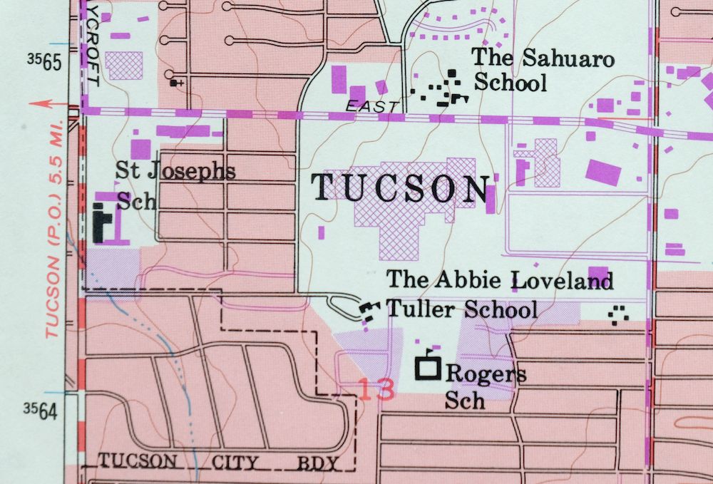
The Tucson East 7.5-minute map shows cities and towns, roads, paths, railroads, utilities and energy infrastructure, rivers, creeks, elevation contour lines, public land survey lines, county, state, and other administrative boundaries as they existed at the time of the survey in 1954 and 1957. A reddish tint is used on this sheet to indicate urban areas where only landmark buildings are depicted. Outside of those areas, all known structures (houses, businesses, churches, schools, barns, cabins, etc) are shown.
A VALUABLE HISTORICAL RECORD
This map is from the 7.5-minute series, the most detailed series that is widely available from the USGS. The 1957 Tucson East map is a valuable historical record for the area. It contains some placenames and features that have been dropped from more recent maps.
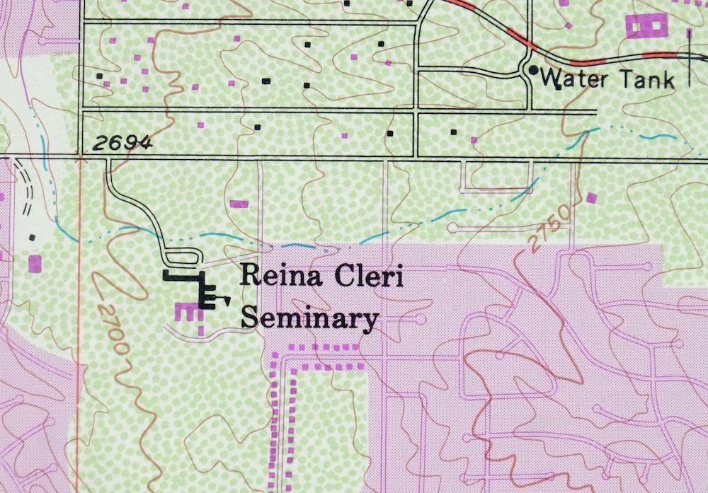
The map was photorevised in 1971 and 1975. Any features that changed or were added between the original edition year of 1957 and the photorevision year of 1971 and 1975 are overlayed in purple. The purple overlay provides an excellent view of the fast-growing and changing areas within the quad boundary.
Nearby maps
-

Tucson SE Arizona Rita Ranch Littletown USGS Topo Map 1980
$35 Add to cart -
Tucson North Arizona Casas Adobes USGS Topo Map 1977 Vintage
$46 Add to cart -
Tucson SW Arizona Summit Sahuarita USGS Topographic Map 1977
$33 Add to cart -

Marana Arizona Picture Rocks Rillito USGS Topo Map 1976
$37 Add to cart -

Tucson Arizona Davis-Monthan Tanque Verde USGS Topo Map 1963
$58 Add to cart -
Tucson Arizona Davis-Monthan Tanque Verde USGS Topo Map 1948
$50 Add to cart -

1967 Mount Lemmon Arizona USGS Topo Map: Tucson
$65 Add to cart -
San Xavier Mission Arizona Tucson USGS Topo Map 1961 Vintage
$52 Add to cart -
Cortaro Arizona Tucson Oro Valley USGS Topographic Map 1947
$58 Add to cart -
Empire Mountains Arizona Vail Pantano USGS Topo Map 1961
$47 Add to cart -
Oracle Arizona Catalina USGS 15-Min Topo Map 1964 Vintage
$41 Add to cart -
Benson Arizona Coronado NF St. David USGS Topo Map 1962
$38 Add to cart -
1965 Silver Bell Peak Arizona USGS Topo Map: Marana
$52 Add to cart -

Tortolita Mountains Arizona USGS 15-Min Topographic Map 1964
$38 Add to cart -
1979 Mount Wrightson Arizona USGS Topo Map: Patagonia
$48 Add to cart -

Elgin Arizona Patagonia Sonoita USGS Topo Map 1971 Vintage
$52 Add to cart -

Winchester Mountains Arizona The Mesas USGS Topo Map 1962
$40 Add to cart -
Winchester Mountains Arizona The Mesas USGS Topo Map 1945
$27 Add to cart -
Red Rock Arizona Picacho Peak Marana USGS Topo Map 1965
$46 Add to cart -
Winkelman Arizona Dudleyville Hayden USGS Topo Map 1966
$43 Add to cart -
Vaca Hills Arizona Papago USGS Topographic Map 1965 Vintage
$32 Add to cart -
Baboquivari Peak Arizona USGS 15-Min Topo Map 1967 Vintage
$48 Add to cart -

Klondyke Arizona USGS 15-Min Topographic Map 1971 Vintage
$44 Add to cart -
Cochise Arizona Willcox USGS 15-Min Topo Map 1963 Vintage
$43 Add to cart