MAP DETAILS | |
|---|---|
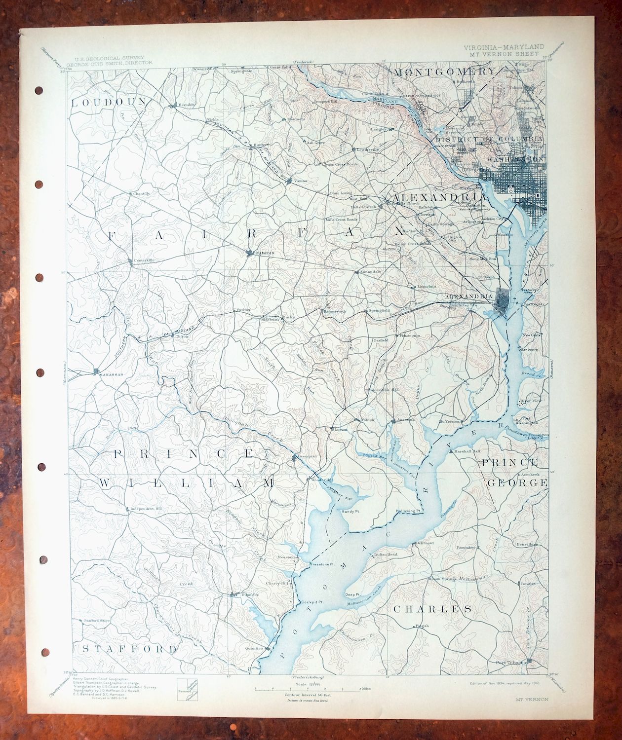
| TITLE | Mount Vernon |
| STATE | Virginia, District of Columbia, Maryland |
| LOCATION | Vicinity of Washington |
| SERIES | 30-minute |
| SURVEYED | 1885 through 1888 Field Survey |
| GEOGRAPHER | Henry Gannett |
| EDITION | 1894 |
| PRINTED | 1912 |
| PRINT NOTES | Thick paper stock |
| SCALE | 1:125000 |
| CONTOUR INTERVAL | 50 feet |
| SHEET DIMENSIONS | 16 1/2 x 20 inches |
| MAP DIMENSIONS | 13 5/8 x 17 1/2 inches |
| COVERAGE AREA | 27 x 35 miles |
| SOURCE | From an uncommonly well-preserved collection |
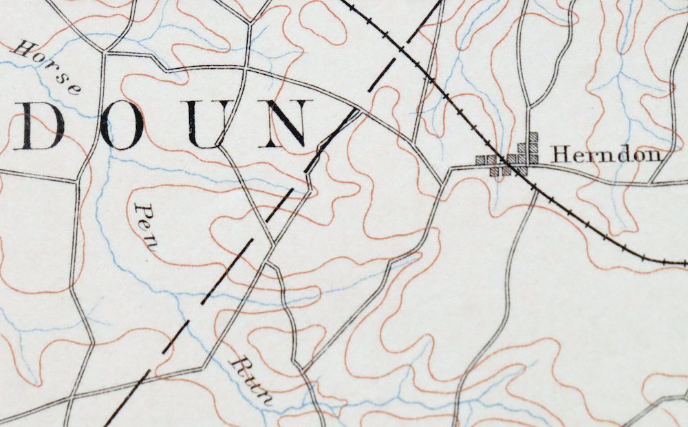
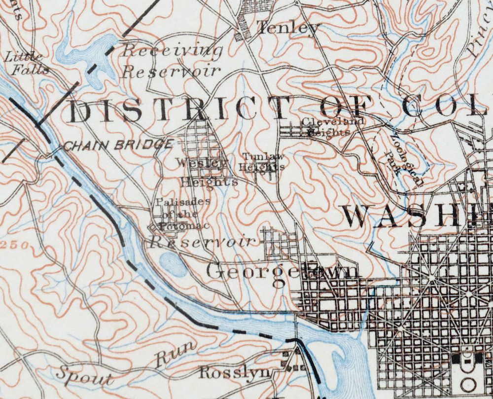
| MAP NOTES | A fascinating historical snapshot of the DC area extending southward to Quantico and westward to present-day Dulles International Airport, surveyed before the modern highway system, showing historic travel routes, rail lines, and placenames. |
| SHEET CONDITION For maps of this vintage, effort is made to note all visible flaws, no matter how minor. | |
| OVERALL CONDITION | Excellent |
| SHEET NOTES | very lightly handled, never folded, smooth and flat |
| MAP AREA | flawless map area |
| COLLARS | no wear or tears, no markings, no blemishes, hole punches along left collar |
| MAP COVERAGE Quadrangle extent overlaid on current basemap. | |
| BACKSIDE LEGEND | |
 A map summary is printed on the back side of the Mount Vernon sheet similar to the one shown in the picture. It outlines the history, purpose, and status of the USGS mapping program at the time of the printing in 1912. It also provides instructions on how to read contour lines and a description of how they are used to depict the terrain. At the bottom of the page is a legend showing all of the symbols used to represent the cultural, relief, and water features found on the map. | |
| PLACENAMES Depending on map series and survey date, all of the features listed below may not be shown on this map. This list contains features that currently exist or historically existed within the area covered by the map. The list can be used as a reference to determine if this map covers your area of interest. Placenames are listed alphabetically next to each feature type. | |
| CITIES AND TOWNS (CURRENT) | Accokeek, Alexandria, Annandale, Arlington, Bailey's Crossroads, Belle Haven, Bennsville, Bethesda, Brentsville, Brookmont, Bryans Road, Burke, Cabin John, Centreville, Chantilly, Chevy Chase, Chevy Chase, Chevy Chase, Chevy Chase Section Five, Chevy Chase Section Three, Chevy Chase Village, Chillum, Clifton, Dale City, Dumfries, Dunn Loring, Fairfax, Fairfax Station, Falls Church, Forest Heights, Fort Belvoir, Fort Hunt, Fort Washington, Franconia, Friendship Village, Glen Echo, Great Falls, Great Falls, Groveton, Herndon, Hoadly, Huntington, Hybla Valley, Idylwood, Indian Head, Jefferson, La Plata, Lake Barcroft, Lake Ridge, Lincolnia, Loch Lomond, Lorton, Manassas, Manassas Park, Mantua, Marbury, Marshall Hall, Martin's Additions, McLean, Merrifield, Montclair, Mount Vernon, Newington, North Chevy Chase, North Springfield, Oakton, Occoquan, Oxon Hill-Glassmanor, Pender, Pimmit Hills, Pisgah, Pleasant Valley, Pohick, Pomonkey, Port Tobacco Village, Potomac, Potomac Heights, Quantico, Quantico Station, Reston, Rose Hill, Rose Hill Farms, Seven Corners, Silver Spring, Somerset, Springfield, Sudley, Takoma Park, Triangle, Tysons Corner, Vienna, Washington, Wellington, West Gate, West Springfield, Wolf Trap, Woodbridge, and Yorkshire |
| COUNTIES COVERED | Alexandria, Arlington, Charles, District of Columbia, Fairfax, Fairfax City, Falls Church, Loudoun, Manassas, Manassas Park, Montgomery, Prince George's, Prince William, and Stafford |
| FEDERAL LAND UNITS | Arlington National Cemetery, Bolling Air Force Base, Central Intelligence Agency, Chesapeake and Ohio Canal National Historical Park, Diamond Laboratories Military Reservation (Closed), Featherstone National Wildlife Refuge, Fort Belvoir Military Reservation, Fort Washington Park, George Washington Memorial Parkway, Manassas National Battlefield Park, Mason Neck National Wildlife Refuge, National Mall, Naval Research Laboratory Washington, Naval Station Anacostia, Indian Head Division Naval Surface Warfare Center, Occoquan Bay National Wildlife Refuge, Pentagon, Piscataway Park, Prince William Forest Park, Quantico Marine Corps Base, Rock Creek Park, Ronald Reagan Washington National Airport, and Washington Dulles International Airport |
| RIVERS AND STREAMS | Accotink Creek, Anacostia River, Angelico Branch, Backlick Run, Barnyard Run, Bear Branch, Big Rocky Run, Booze Creek, Broad Run, Buckhall Branch, Bull Run, Bullneck Run, Bulls Run, Cabin Branch, Cabin John Creek, Cabin Run, Cain Branch, Calamo Branch, Cannon Creek, Captain Hickory Run, Castle Creek, Cedar Run, Cherry Run, Chopawamsic Creek, Coquelin Run, Crook Branch, Crooked Creek, Cub Run, Daniels Run, Dead Run, Difficult Run, Donaldson Run, East Fork Popes Head Creek, Elk Horn Run, Elklick Run, Farm Creek, Field Lark Branch, Flag Run, Flat Branch, Flat Run, Flatlick Branch, Folly Lick Branch, Four Mile Run, Frog Branch, Frying Pan Branch, Giles Run, Gulf Branch, Henson Creek, Hoghole Run, Holmes Run, Horsepen Run, Indian Creek, Indian Run, Jennie Run, Johnny Moore Creek, Kanes Creek, Little Difficult Run, Little Falls Branch, Little Hunting Creek, Little Rocky Run, Long Branch, Lubber Run, Maple Branch, Marumsco Creek, Mary Bird Branch, Mason Run, Massey Creek, Mattawoman Creek, Middle Branch Chopawamsic Creek, Middle Run, Mill Run, Mill Swamp, Minnehaha Branch, Neabsco Creek, Occoquan River, Old Courthouse Spring Branch, Old Mill Branch, Old Womans Run, Opossum Branch, Pike Branch, Pimmit Run, Piney Branch, Piscataway Creek, Pole Branch, Pomonkey Creek, Popes Head Creek, Port Tobacco River, Potomac River, Powells Creek, Purcell Branch, Quantico Creek, Rabbit Branch, Roaches Run, Rock Creek, Rock Run, Rocky Branch, Rocky Run, Russia Branch, Sand Branch, Scott Run, Sideburn Branch, Sligo Creek, Smilax Branch, Snakeden Branch, South Branch Chopawamsic Creek, South Fork Little Difficult Run, South Fork Quantico Creek, South Run, Stallion Branch, Stillwell Run, Swift Run, Taylor Run, Thomas Branch, Tripps Run, Turkey Run, Turkeycock Run, Willett Branch, Willow Springs Branch, Wills Branch, Wolf Run, and Wolftrap Creek |
| WATER BODIES | Burke Lake, Carp Pond, Dalecarlia Reservoir, Dulles Airport Pond, Dyke Marsh, Fox Lake, Georgetown Reservoir, Happyland Camp Five Lake, Hilltop Pond, Impoundment on Piney Run, Lake Accotink, Lake Anne, Lake Audubon, Lake Barcroft, Lake Braddock, Lake Fairfax, Lake Jackson, Lake Montclair, Lake Thoreau, Lehigh Pond, Lunga Reservoir, Marumsco Acres Lake, McMillan Reservoir, North Twin Lake, Occoquan Reservoir, South Twin Lake, Spring Lake, Timber Lake, Upper Occoquan Polish Pond, Woodover Farms Lake, and Woodside Lake |
| SHIPPING AND RETURNS | |
 This map sheet will be carefully rolled in a sturdy tube and shipped via the US Postal Service. If you find that the sheet you receive is not as described in the listing, you may ship it back to us for a refund of the purchase price. | |
Mount Vernon Virginia Washington Accokeek USGS Topo Map 1912
$200
This USGS 30-minute topographic sheet is an 1894 edition printed in 1912, and at 114 years old it remains in excellent condition — very lightly handled, never folded, smooth and flat on thick stock, with hole punches along the left collar. Drawn from an 1885 through 1888 field survey under geographer Henry Gannett, the quad spans the Washington area across parts of Virginia, the District of Columbia, and Maryland, taking in Washington itself, Alexandria, Arlington, and Mount Vernon, and extending south toward Quantico and west to what is now Dulles International Airport. It captures the region before the modern highway system, with the historic travel routes, rail lines, and placenames of the era, and comes from an uncommonly well-preserved collection; the reverse carries printed reference material.
In stock
This antique sheet is an 1894 edition of the Mount Vernon Virginia USGS topographic map. It is an authentic 114-year-old 1912 United States Geological Survey print in excellent condition.
HOW THIS MAP CAN BE USED
In addition to making a fascinating conversation piece, this sheet would look great in a frame or on display, make a unique and prized gift for anyone interested in this area, be perfect as a reference for genealogy studies or general historical research, or fill that missing piece in your collection.
FEATURES SHOWN ON THE MAP
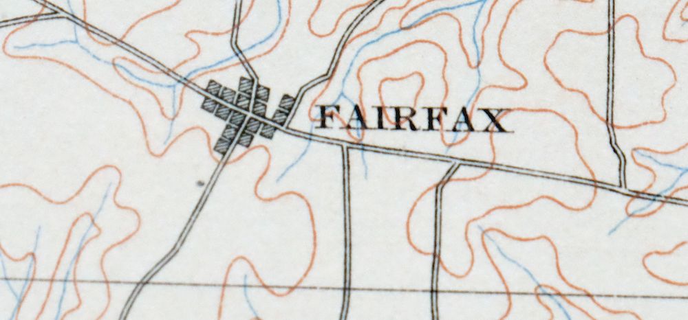
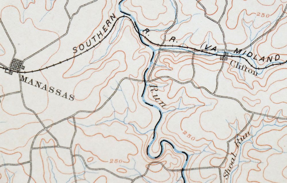
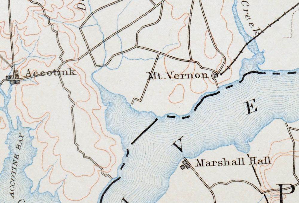
The Mount Vernon 30-minute map shows cities and towns, roads, railroads, rivers, creeks, elevation contour lines, public land survey lines, county, state, and other administrative boundaries as they existed at the time of the survey in 1885 through 1888.
A VALUABLE HISTORICAL RECORD
Maps from the USGS 30-minute series have been out of print for many years. They have never been common and original prints are increasingly difficult to find. For areas where the 30-minute map was produced, it is usually the first large-scale survey done by the USGS for that area. These are a valuable historical record, as they contain many placenames and features that have been dropped from more recent series’ and editions.
Nearby maps
-
Patuxent Maryland Washington Bowie USGS 30-Min Topo Map 1907
$65 Add to cart -

Patapsco Maryland Baltimore Jessup USGS Topographic Map 1908
$96 Add to cart -

Luray Virginia Front Royal Stanley USGS Topographic Map 1910
$115 Add to cart -

Winchester Virginia Middletown Inwood USGS Topo Map 1916
$82 Add to cart -

Tolchester Maryland Dundalk Essex USGS Topo Map 1908 Antique
$145 Add to cart -
Dover Delaware Bombay Hook NWR Middletown USGS Topo Map 1906
$47 Add to cart -

Romney West Virginia Keyser Delray USGS Topographic Map 1909
$80 Add to cart -

Palmyra Virginia Lake Monticello Dillwyn USGS Topo Map 1907
$75 Add to cart -
Amelia Virginia Richmond Bon Air USGS Topo Map 1904 Antique
$74 Add to cart -

Franklin West Virginia Petersburg Onego USGS Topo Map 1914
$49 Add to cart -
Vineland New Jersey Dover Millville USGS Topo Map 1905
$115 Add to cart -
Staunton Virginia Stuarts Draft USGS Topographic Map 1913
$90 Add to cart -
Farmville Virginia Blackstone Rice USGS Topographic Map 1914
$55 Add to cart -
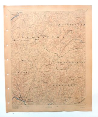
Appomattox Virginia Brookneal Toga USGS Topographic Map 1912
$55 Add to cart -

Chambersburg Pennsylvania Guilford USGS Topographic Map 1964
$40 Add to cart -

Needmore Pennsylvania Crystal Spring USGS Topo Map 1947
$44 Add to cart -

Carlisle Pennsylvania Schlusser USGS Topographic Map 1964
$45 Add to cart -

Newville Pennsylvania Shippensburg USGS 15-Min Topo Map 1959
$40 Add to cart -

Quarryville Pennsylvania Oxford USGS Topographic Map 1944
$53 Add to cart -

Clearville Pennsylvania USGS 15-Min Topo Map 1945 Vintage
$42 Add to cart -

Lancaster Pennsylvania Columbia Lititz USGS Topo Map 1943
$58 Add to cart -

Coatesville Pennsylvania Oxford USGS Topographic Map 1944
$36 Add to cart -

Hyndman Pennsylvania Buffalo Mills USGS 15-Min Topo Map 1967
$40 Add to cart -

New Holland Pennsylvania Ephrata Akron USGS Topo Map 1962
$48 Add to cart
