MAP DETAILS | |
|---|---|
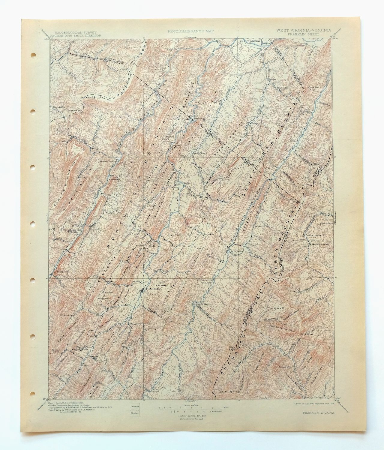
| TITLE | Franklin |
| STATE | West Virginia, Virginia |
| LOCATION | Vicinity of Petersburg, 30 miles northwest of Harrisonburg, VA |
| SERIES | 30-minute |
| SURVEYED | 1884 and 1895 Field Survey |
| GEOGRAPHER | Henry Gannett |
| EDITION | 1896 |
| PRINTED | 1914 |
| PRINT NOTES | Thick paper stock |
| SCALE | 1:125000 |
| CONTOUR INTERVAL | 100 feet |
| SHEET DIMENSIONS | 16 1/2 x 20 inches |
| MAP DIMENSIONS | 13 5/8 x 17 1/2 inches |
| COVERAGE AREA | 27 x 35 miles |
| SOURCE | From an uncommonly well-preserved collection |
| MAP NOTES | Surveyed before the modern highway system, showing historic travel routes and placenames. |
| SHEET CONDITION For maps of this vintage, effort is made to note all visible flaws, no matter how minor. | |
| OVERALL CONDITION | Excellent |
| SHEET NOTES | very lightly handled, never folded, smooth and flat |
| MAP AREA | flawless map area |
| COLLARS | no wear or tears, no markings, very minor blemish in upper left collar corner, hole punches along left collar |
| MAP COVERAGE Quadrangle extent overlaid on current basemap. | |
| BACKSIDE LEGEND | |
 A map summary is printed on the back side of the Franklin sheet similar to the one shown in the picture. It outlines the history, purpose, and status of the USGS mapping program at the time of the printing in 1914. It also provides instructions on how to read contour lines and a description of how they are used to depict the terrain. At the bottom of the page is a legend showing all of the symbols used to represent the cultural, relief, and water features found on the map. | |
| PLACENAMES Depending on map series and survey date, all of the features listed below may not be shown on this map. This list contains features that currently exist or historically existed within the area covered by the map. The list can be used as a reference to determine if this map covers your area of interest. Placenames are listed alphabetically next to each feature type. | |
| CITIES AND TOWNS (CURRENT) | Brandywine, Circleville, Dorcas, Franklin, Laneville, Onego, Petersburg, Riverton, and Upper Tract |
| COUNTIES COVERED | Grant, Hardy, Pendleton, Randolph, Rockingham, and Tucker |
| FEDERAL LAND UNITS | Dolly Sods Wilderness, George Washington National Forest, Monongahela National Forest, Monongahela National Forest Purchase Unit, Spruce Knob-Seneca Rocks National Recreation Area, and Sugar Grove U.S. Naval Radio Station |
| RIVERS AND STREAMS | Beech Lick Run, Bennett Run, Big Run, Bill Run, Black Run, Blackthorn Creek, Blizzard Run, Bouses Run, Brady Gap Run, Brake Run, Briery Gap Run, Briggs Run, Broad Run, Brushy Run, Buck Lick Run, Buffalo Run, Camp Run, Carr Run, Cliff Run, Cold Spring River, Cold Spring Run, Collins Run, Deep Hollow Run, Detimer Run, Dice Run, Dry River, Dry Run, Dumpling Spring Run, Durgon Creek, Elkhorn Run, Elklick Run, Fisher Run, Fisher Spring Run, Flatrock Run, Friends Run, Gandy Run, George Run, Gravel Lick Run, Gulf Run, Gum Run, Hammer Run, Harper Run, Hawes Run, Hayes Gap Run, Hiveley Run, Horsecamp Run, Jenkins Run, Johnson Run, Jordan Run, Judy Run, Kentuck Run, Kephart Run, Kettle Creek, Laurel Run, Left Hand Run, Liberty Run, Lick Run, Little Camp Run, Little Creek, Little Dry River, Little Rough Run, Little Stonecoal Run, Long Run, Low Place Run, Lower Gulf Run, Lunice Creek, Maple Spring Run, McIntosh Run, Mill Creek, Mill Run, Miller Run, Miller Spring Run, Mitchell Run, Moyer Run, Nelson Run, North Fork South Branch Potomac River, North Mill Creek, Overly Run, Paddy Run, Paint Lick Run, Peach Run, Persimmon Run, Peters Run, Pike Gap Run, Powdermill Run, Propst Run, Red Creek, Red Lick Run, Redman Run, Reeds Creek, Road Run, Roaring Creek, Rocky Run, Rodabaugh Run, Rohrbaugh Run, Root Run, Rough Run, Samuel Run, Sawmill Branch, Sawmill Run, Seneca Creek, Seng Run, Seventy Buck Lick Run, Shafter Run, Shooks Run, Shuckleford Run, Skidmore Fork, Slate Lick Branch, Smith Creek, South Branch Potomac River, South Fork Red Creek, South Fork South Branch Potomac River, South Mill Creek, Spring Run, Spruce Run, Stauffles Run, Stone Camp Run, Stonecoal Run, Stony Run, Strader Run, Straight Run, Stringtown Run, Stump Run, Sugar Run, Sumac Run, Swamp Run, Teter Run, Thorn Creek, Thorny Run, Tool Run, Trout Run, Twin Run, Wamsley Run, Waterfall Run, Whites Run, Wilson Run, Wolf Run, and Zeke Run |
| WATER BODIES | Brandywine Lake |
| West Virginia Locations: Bandywine Lake Campground, Big Bend Campground, Camp Echo, Cave, Elkhorn Lookout Tower, Judy Gap, Mount Porte Crayon Point of Interest, Petersburg Fish Hatchery, Seneca Campground, Seneca Rocks Recreation Site, Seneca Rocks Visitor Center, Seneca Shadows Recreation Site, Smoke Hole Campground, and Spring Run Fish Hatchery. Administrative Boundaries: Milroy Magisterial District and South Fork Magisterial District. Mountains, Peaks, and Summits: Little Mountain, Ant Knob, Lankey Mountain, Lick Knob, Lick Run Knob, Little Cow Knob, Little Sweedlin Hill, Bible Knob, Big Mountain, Bland Hills, Bobs Mountain, Bother Knob, Breathed Mountain, Brushy Knob, Brushy Mountain, Buffalo Hills, Bulls Head, Castle Knob, Castle Mountain, Castle Rock, Cave Knob, Cave Mountain, Cedar Knob, Champe Knobs, Clifton Knob, Coal Knob, Colic Mountain, Cove Knob, Cow Knob, Cowger Mountain, Day Knob, Dayton Knob, Dug Knob, Dunkle Knob, Elkhorn Mountain, Elkhorn Rock, Entry Mountain, Evick Knob, Fisher Knob, Fisher Mountain, Flint Knob, Foremost Mountain, Gap Mountain, Germany Knob, Getz Mountain, Granddaddy Knob, Green Knob, Harman Knob, Harmon Rocks, Harper Knob, Haystack Knob, Heavener Mountain, High Knob, High Mountain, Huckleberry Hill, Judy Rocks, Ketterman Knob, Kettlefield Knob, Kile Knob, Locust Mountain, Mallow Knob, Marks Knob, Middle Mountain, Mill Mountain, Mitchell Knob, Mitchell Mountain, Moser Knob, Neds Mountain, Nelson Rocks, Nesselrod Knob, Ore Mountain, Panther Knob, Peters Mountain, Pickle Mountain, Pike Knob, Pine Knob, Pine Tree Knob, Pond Mountain, Pond Range Mountain, Mount Porte Crayon, Propst Knob, Reynolds Knob, River Knob, River Mountain, Rocky Mountain, Round Knob, Ruleman Mountain, Sand Mountain, Shriner Knob, Simmons Mountain, Simpson Knob, Siple Mountain, Skidmore Mountain, Smith Mountain, Socrates Mountain, Spring Mountain, Stump Knob, Sweedlin, Swisher Knob, Tea Knob, Town Mountain, Tract Hill, Trumble Mountain, Turkey Knob, Wagner Knob, Weiss Knob, Wilfong Knob, and Whetmiller Knob. Valleys and Canyons: Baker Hollow, Landes Hollow, Broadmouth Hollow, Buck Hollow, Cool Hollow, Deep Hollow, Dry Hollow, Dry River Hollow, Eliza Hollow, Evick Hollow, Germany Valley, Gum Hollow, Long Hollow, Lynn Lick Hollow, Mexico Hollow, Noah Teter Hollow, Powers Hollow, Smoke Hole, Sweedlin Valley, Taylor Hollow, Troublesome Valley, and Wolfpen Hollow. Parks: Brandywine Recreation Area, Dolly Sods Picnic Area, Dolly Sods Wilderness, and Spruce Knob-Seneca Rocks National Recreation Area. Trails: Lick Run Trail, Boars Nest Trail, Bother Ridge Trail, Buck Lick Run Trail, High Meadows Trail, Loop Trail, Miller Run Trail, North Fork Mountain Trail, North Mountain Trail, Red Creek Trail, Redman Trail, Road Run Trail, South Branch Trail, and South Prong Trail. Drainages: Little Rough Run, Laurel Run, Left Fork Flatrock Creek, Left Hand Run, Liberty Run, Lick Run, Little Camp Run, Little Creek, Little Fork, Little Stonecoal Run, Big Run, Bill Run, Blackthorn Creek, Blizzard Run, Bouses Run, Brady Gap Run, Brake Run, Brandywine Run, Briery Gap Run, Briggs Run, Broad Run, Brushy Run, Buck Lick Run, Buffalo Run, Camp Run, Cliff Run, Collins Run, Conrad Gap Run, Deep Hollow Run, Deer Run, Detimer Run, Dice Run, Dolly Run, Dry Run, Dumpling Spring Run, Durgon Creek, East Dry Run, Elkhorn Run, Elklick Run, Fisher Run, Fisher Spring Run, Flatrock Run, Friends Run, Gandy Run, George Run, Gravel Lick Run, Gulf Run, Hammer Run, Harper Run, Hawes Run, Hayes Gap Run, Heavener Run, High Ridge Run, Hiveley Run, Horsecamp Run, Jenkins Run, Johnson Run, Jordan Run, Judy Run, Kade Run, Kentuck Run, Kessner Run, Kettle Creek, Kettle Run, Kile Run, Lower Gulf Run, Long Run, Lunice Creek, McIntosh Run, Mill Creek, Mill Run, Miller Run, Mitchell Run, Morgan Run, Moyer Run, Nelson Run, North Fork Long Run, North Fork South Branch Potomac River, North Mill Creek, Paddy Run, Peters Run, Pike Gap Run, Powdermill Run, Propst Run, Red Lick Run, Redman Run, Reeds Creek, Right Fork Flatrock Creek, Road Run, Roaring Creek, Rocky Run, Rodabaugh Run, Rohrbaugh Run, Root Run, Rough Run, Samuel Run, Sawmill Branch, Sawmill Run, Seneca Creek, Seng Run, Shafter Run, Shaver Run, Shooks Run, Shuckleford Run, Smith Creek, South Fork Long Run, South Fork Red Creek, South Mill Creek, Spring Run, Stauffles Run, Stone Camp Run, Stonecoal Run, Stony Creek, Stony Run, Strader Run, Straight Run, Strauter Run, Stringtown Run, Stump Run, Sugar Run, Swamp Run, Thorn Creek, Thorny Run, Tool Run, Trout Run, Twin Run, Wagner Run, Wamsley Run, Waterfall Run, Whitehorn Creek, Whites Run, Whitethorn Creek, Wilson Run, Wolf Run, Wyatts Run, and Zeke Run. Churches: Bakers Chapel, Laneville Mennonite Church, Laurel Hill Church, Bethel Church, Bethlehem Church, Boot Hill Church, Brake Church, Calvary Church, Cedar Grove Church, Fairview Bethel Church, Fairview Church, Friends Run Church, Gordon Chapel, Hedrick Chapel, High Rock Church, Martin Luther Church, Marvin Chapel, Mount Hope Church, Mount Horeb Church, Mount Olive Church, Mount Zion Church, New Bethlehem Church, North Fork Church, North Mill Creek Church, Pleasant Grove Church, Pleasant Valley Church, Propst Gap Church, Reeds Creek Church, Riverside Church, Rough Run Church, Ruddle Church, Saint Georges Church, Saint Johns Church, Saint Lukes Church, Saint Matthews, Sandy Ridge Church, Seneca Church, Sites Chapel, Smith Creek Church, Smoke Hole Church, Solomans Chapel, South Mill Creek Church, Thorn Church, Trinity Church, Wilson Church, Wolford Church, and Zion Church. Waterfalls: Falls Of Seneca. Dams: Dam Number 10, Dam Number 11, Dam Number 12, Dam Number 13, Dam Number 21, Dam Number 27, Dam Number 9, North South Mill Creek Number Four Dam, South Fork Structure 37 Dam, South Fork Structure Five Dam, South Fork Structure Four Dam, South Fork Structure Number 10 Dam, South Fork Structure Number 11 Dam, South Fork Structure Number 12 Dam, South Fork Structure Number 13 Dam, South Fork Structure Number 14 Dam, South Fork Structure Number 15 Dam, South Fork Structure Number 16 Dam, South Fork Structure Number 17 Dam, South Fork Structure Number 21 Dam, South Fork Structure Number 27 Dam, South Fork Structure Number Nine Dam, South Fork Structure Six Dam, and South Fork Structure Two Dam. Bluffs: Eagle Rock, Raven Rocks, and Seneca Rocks. Gaps: Austin Gap, Bennett Gap, Bean Gap, Lambert Gap, Liberty Gap, Dean Gap, False Gap, Greenawalt Gap, Harper Gap, Hinkle Gap, Hopeville Gap, Judy Gap, Kane Gap, Mill Gap, Moyer Gap, Nelson Gap, North Fork Gap, Redman Gap, Riverton Gap, Roy Gap, Shirk Gap, Shook Gap, Stillhouse Gap, and Tanyard Gap. Bays: Wilson Hole. Basins: Roaring Plains. Airports: Grant County Airport. Schools: Dorcas Elementary School, Durgon School, Petersburg Elementary School, Petersburg High School, and Seneca Rocks School. Ridges: Little Pond Ridge, Bee Ridge, Bother Ridge, Botkin Ridge, Buck Ridge, Dickinson Mountain, Dividing Ridge, Dolly Ridge, Fore Knobs, Fork Ridge, Goshen Ridge, Hoffman Ridge, Hog Ridge, Hoover Mountain, Hoovers Ridge, Hunting Ridge, Kimble Ridge, Long Ridge, Middle Ridge, North Fork Mountain, Pretty Ridge, Red Bud Ridge, River Knobs, River Ridge, Round Bottom Ridge, Sandy Ridge, Sharp Ridge, Shroud Ridge, South Fork Mountain, Stone Camp Mountain, Timber Ridge, and Wilson Ridge. Reservoirs and Tanks: Brandywine Lake. Flats: Flatrock Plains and Red Creek Plains. Towers: Bell Knob Lookout Tower, North Fork Mountain Lookout Tower, and WELD-FM (Petersburg). Pillars: Baker Rocks, Blue Rock, Champe Rocks, Chimney Top, Thunderstruck Rock, and Yellow Rocks. Springs: Addie Judy Spring, Allen Eye Spring, Alt Farm Spring, Arbogast Farm Spring, Baker Spring, Beaver Dam Spring, Lee Ullery Spring, Little Turtle Spring, Big Spring, Cave Spring, Coby Spring, Cold Spring, Cornstalk Spring, Cress Spring, Dry Run Spring, Dumpling Run Spring, Eagle Rock Spring, Earl Kiser Spring, Eckhard Farm Spring, Falling Spring, Franklin Spring, Guy Harper Spring, Hammer Run Spring, Hammer Spring, Harper Farm Spring, Hartman Farm Spring, Hermit Island Spring, Hiner Farm Spring, Hoyt Pennington Spring, Jamison Farm Spring, Judy Spring, McDonald Springs, Mill Spring, Mitchell Farm Spring, Moyer Farm Spring, Nelson Spring, Nettie Davis Spring, Pennington Farm Spring, Pitzenbarger Spring, Poor Farm Spring, Powder Mill Spring, Red Jacket Spring, Reeds Creek Spring, Rexrode Farm Spring, Rexrode Spring, Roaring Springs, Sennett Farm Spring, Smith Farm Spring, Snoden Yokum Spring, State Trout Hatchery Spring, Thorn Creek Spring, Thorn Spring, Trout Rocks Spring, Waggy Farm Spring, Wards Run Spring, Wilkins Spring, White Cloud Spring, Wilson Spring, and Wyatt Farm Spring. | |
| Virginia Locations: Riven Rock Recreation Site. Mountain Ranges: Shenandoah Mountain. Mountains, Peaks, and Summits: Bald Knob, Beech Lick Knob, Black Lick Mountain, Bother Knob, Dundore Mountain, Brushy Mountain, Burns Knob, Carr Mountain, Cow Knob, Feedstone Mountain, Flagpole Knob, Fulk Mountain, Gate Mountain, Gobble Mountain, Goods Mountain, High Knob, Hogpen Mountain, Kretchie Mountain, Mays Mountain, Meadow Knob, Middle Mountain, Pine Knob, Rader Knob, Rader Mountain, Richland Mountain, Riven Rock Mountain, Second Mountain, Shaver Mountain, Slate Springs Mountain, Smith Mountain, Snake Hollow Mountain, Tomahawk Mountain, and White Grass Knob. Valleys and Canyons: Big Bear Hollow, Block Hollow, Dull Hunt Hollow, Dunkle Hollow, Clay Lick Hollow, Hopkins Hollow, Hughes Hollow, Little Bear Hollow, Old Road Hollow, Railroad Hollow, Snake Hollow, Straight Hollow, and Timber Hollow. Parks: Riven Rock Picnic Area and Skidmore Fork Scenic Area. Trails: Dull Hunt Trail, Dictum Ridge Trail, Rader Mountain Trail, Second Mountain Trail, and Slate Springs Mountain Trail. Drainages: Beech Lick Run, Black Run, Camp Rader Run, Carr Run, Cold Spring River, Cold Spring Run, Dry Run, Gum Run, Kephart Run, Laurel Run, Little Laurel Run, Low Place Run, Maple Spring Run, Miller Spring Run, North Fork Camp Rader Run, Paint Lick Run, Payne Run, Peach Run, Persimmon Run, Raccoon Run, Rocky Run, Sand Run, Seventy Buck Lick Run, Skidmore Fork, South Fork Camp Rader Run, Spruce Lick Run, Sugar Run, Sumac Run, and Whitehorn Creek. Churches: Criders Church, Damascus Church, and Valley View Church. Forests: George Washington National Forest. Dams: Lower North River Dam Number 82, Lower North River Number 22a Dam, Lower North River Number 81c Dam, and Switzer Dam. Bluffs: Third Point. Bays: Blue Hole. Schools: Criders School, Hupp School, Mount Pleasant School, and Smith School. Ridges: Chesnut Ridge, Chestnut Ridge, Clover Lick Ridge, Cow Ridge, Craun Ridge, Dictum Ridge, Dividing Ridge, Feltz Ridge, Gauley Ridge, Leading Ridge, Locust Ridge, Middle Ridge, Peach Ridge, Pond Ridge, Shackleford Ridge, Smooth Ridge, Stony Point Ridge, Trail Ridge, and Wildcat Ridge. Reservoirs and Tanks: Harrisonburg Reservoir, Lower North River Site 82 Lake, Skidmore Fork Lake, and Switzer Lake. Flats: White Oak Flat. Springs: Hall Spring, Maple Spring, and Sand Spring. | |
| SHIPPING AND RETURNS | |
 This map sheet will be carefully rolled in a sturdy tube and shipped via the US Postal Service. If you find that the sheet you receive is not as described in the listing, you may ship it back to us for a refund of the purchase price. | |
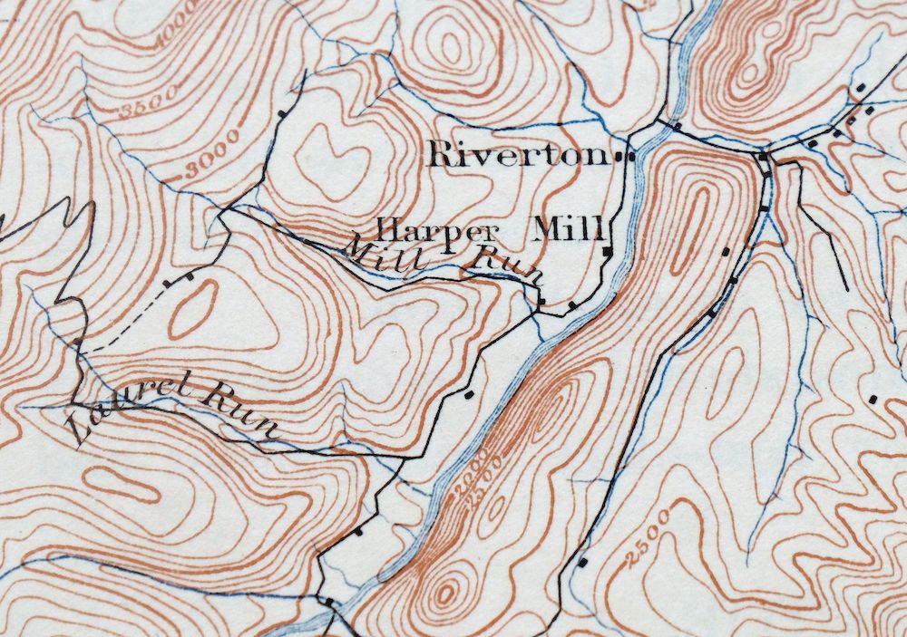
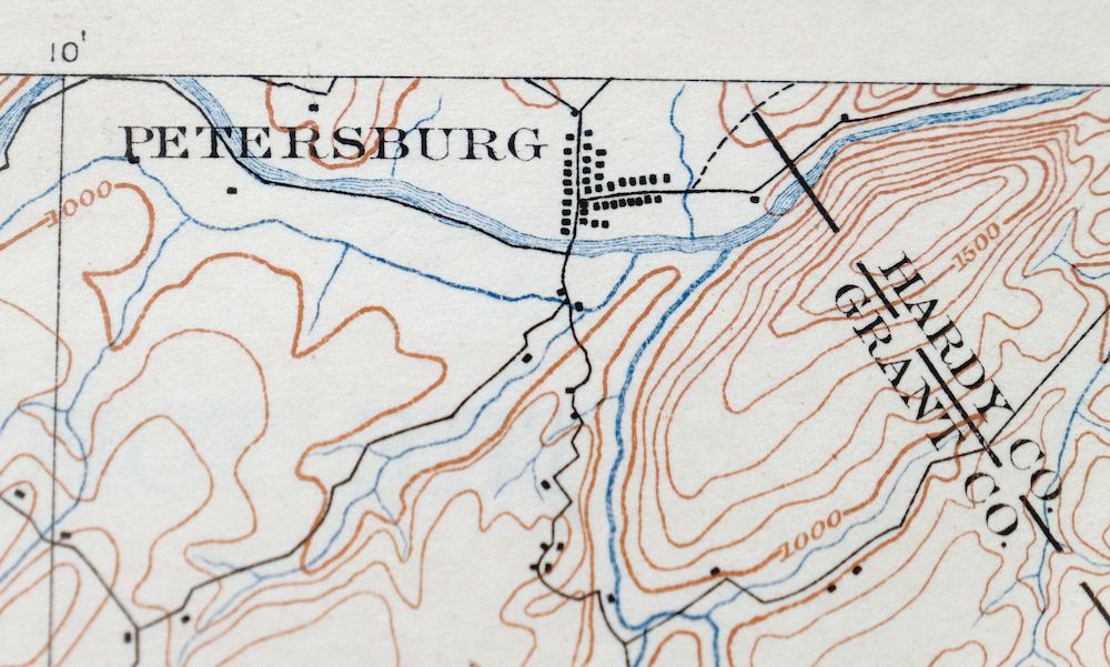
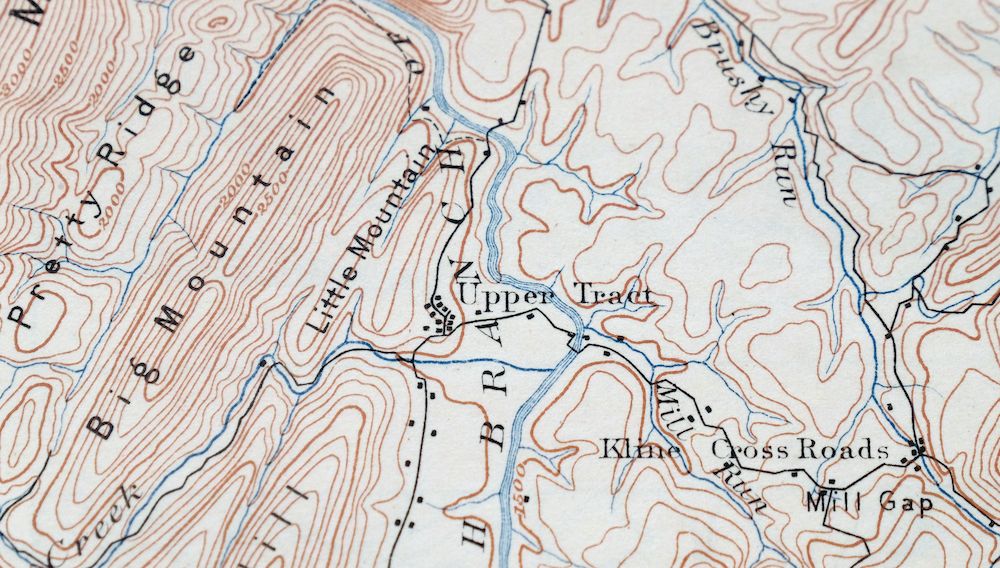
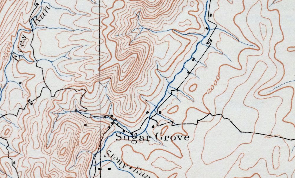
Franklin West Virginia Petersburg Onego USGS Topo Map 1914
$49
This USGS 30-minute topographic sheet is a first-published 1896 edition, printed in 1914, and this 112-year-old antique survives in excellent condition — never folded, smooth and flat, with a flawless map area on thick stock. Spanning the West Virginia–Virginia line northwest of Harrisonburg, it takes in Petersburg and Franklin along with communities such as Upper Tract, Riverton, and Laneville, and reaches into parts of the Monongahela and George Washington National Forests and the Dolly Sods Wilderness. Drawn from an 1884 and 1895 field survey under geographer Henry Gannett and predating the modern highway system, it records historic travel routes and placenames across this stretch of the Allegheny highlands, and comes from an uncommonly well-preserved collection.
In stock
This antique sheet is an 1896 edition of the Franklin West Virginia USGS topographic map. It is an authentic 112-year-old 1914 United States Geological Survey print in excellent condition.
HOW THIS MAP CAN BE USED
In addition to making a fascinating conversation piece, this sheet would look great in a frame or on display, make a unique and prized gift for anyone interested in this area, be perfect as a reference for genealogy studies or general historical research, or fill that missing piece in your collection.
FEATURES SHOWN ON THE MAP
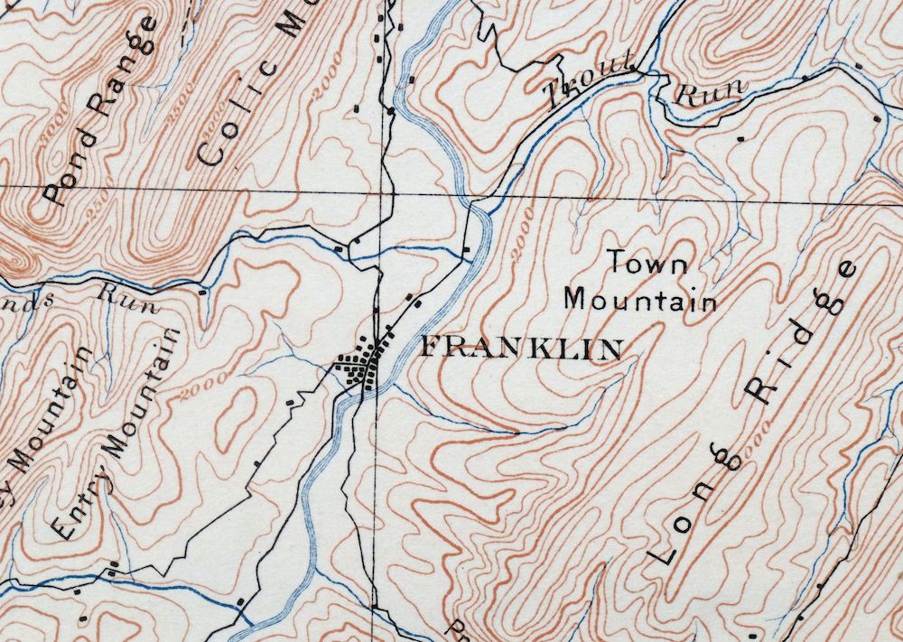
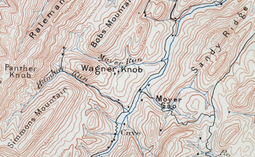
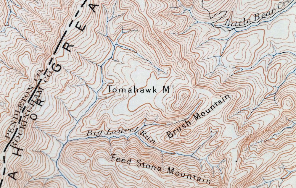
The Franklin 30-minute map shows cities and towns, roads, railroads, rivers, creeks, elevation contour lines, public land survey lines, county, state, and other administrative boundaries as they existed at the time of the survey in 1884 and 1895.
A VALUABLE HISTORICAL RECORD
Maps from the USGS 30-minute series have been out of print for many years. They have never been common and original prints are increasingly difficult to find. For areas where the 30-minute map was produced, it is usually the first large-scale survey done by the USGS for that area. These are a valuable historical record, as they contain many placenames and features that have been dropped from more recent series’ and editions.
Nearby maps
-
Staunton Virginia Stuarts Draft USGS Topographic Map 1913
$90 Add to cart -

Romney West Virginia Keyser Delray USGS Topographic Map 1909
$80 Add to cart -

Luray Virginia Front Royal Stanley USGS Topographic Map 1910
$115 Add to cart -

Winchester Virginia Middletown Inwood USGS Topo Map 1916
$82 Add to cart -

Natural Bridge Virginia Covington Selma USGS Topo Map 1911
$62 Add to cart -

Sutton West Virginia Glenville Elk River USGS Topo Map 1907
$75 Add to cart -

Palmyra Virginia Lake Monticello Dillwyn USGS Topo Map 1907
$75 Add to cart -

Nicholas West Virginia Summersville Cowen USGS Topo Map 1912
$54 Add to cart -
Appomattox Virginia Brookneal Toga USGS Topographic Map 1912
$55 Add to cart -

Mount Vernon Virginia Washington Accokeek USGS Topo Map 1912
$200 Add to cart -
Farmville Virginia Blackstone Rice USGS Topographic Map 1914
$55 Add to cart -

Raleigh West Virginia Beckley Oak Hill USGS Topo Map 1901
$135 Add to cart -
Amelia Virginia Richmond Bon Air USGS Topo Map 1904 Antique
$74 Add to cart -
Patuxent Maryland Washington Bowie USGS 30-Min Topo Map 1907
$65 Add to cart -

Hyndman Pennsylvania Buffalo Mills USGS 15-Min Topo Map 1967
$40 Add to cart -

Clearville Pennsylvania USGS 15-Min Topo Map 1945 Vintage
$42 Add to cart -

Needmore Pennsylvania Crystal Spring USGS Topo Map 1947
$44 Add to cart -

Bedford Pennsylvania Schellsburg USGS Topo Map 1958 Vintage
$42 Add to cart -

Brownsville Pennsylvania Monessen Donora USGS Topo Map 1954
$38 Add to cart -

Saint Marys West Virginia Ellenboro Pike USGS Topo Map 1916
$47 Add to cart -

Chambersburg Pennsylvania Guilford USGS Topographic Map 1964
$40 Add to cart -

Carnegie Pennsylvania Pittsburgh Dormont USGS Topo Map 1954
$48 Add to cart -

Marietta Ohio Wayne NF Devola USGS Topo Map 1912 Antique
$62 Add to cart -
Burgettstown Pennsylvania Midway USGS Topographic Map 1958
$47 Add to cart
