MAP DETAILS | |
|---|---|
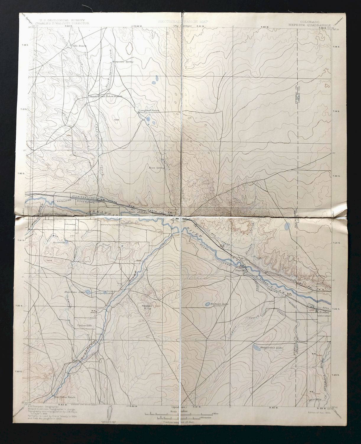
| TITLE | Nepesta |
| STATE | Colorado |
| LOCATION | Vicinity of Pueblo, 50 miles southeast of Colorado Springs |
| SERIES | 30-minute |
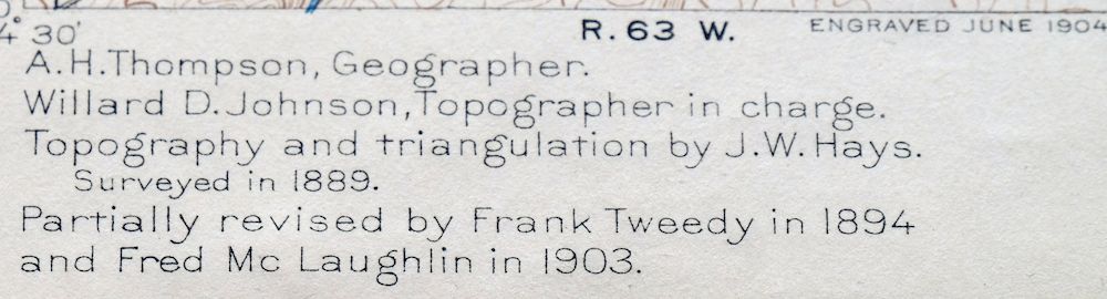
| SURVEYED | 1894 through 1903 Field Survey |
| GEOGRAPHER | A.H. Thompson |
| ENGRAVED | 1904 |
| EDITION | 1904 |
| PRINTED | 1904 |
| SCALE | 1:125000 |
| CONTOUR INTERVAL | 25 feet |
| SHEET DIMENSIONS | 14 x 19 1/2 inches |
| MAP DIMENSIONS | 13 3/4 x 17 1/2 inches |
| COVERAGE AREA | 27 x 35 miles |
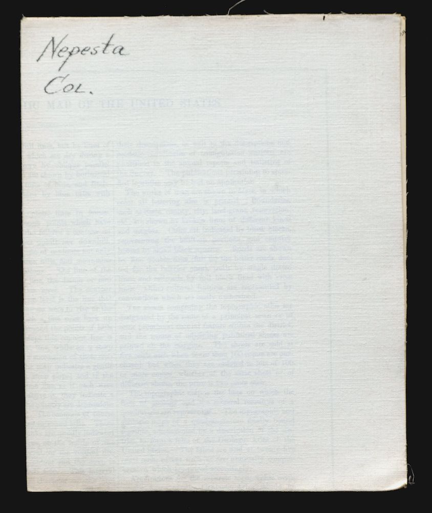
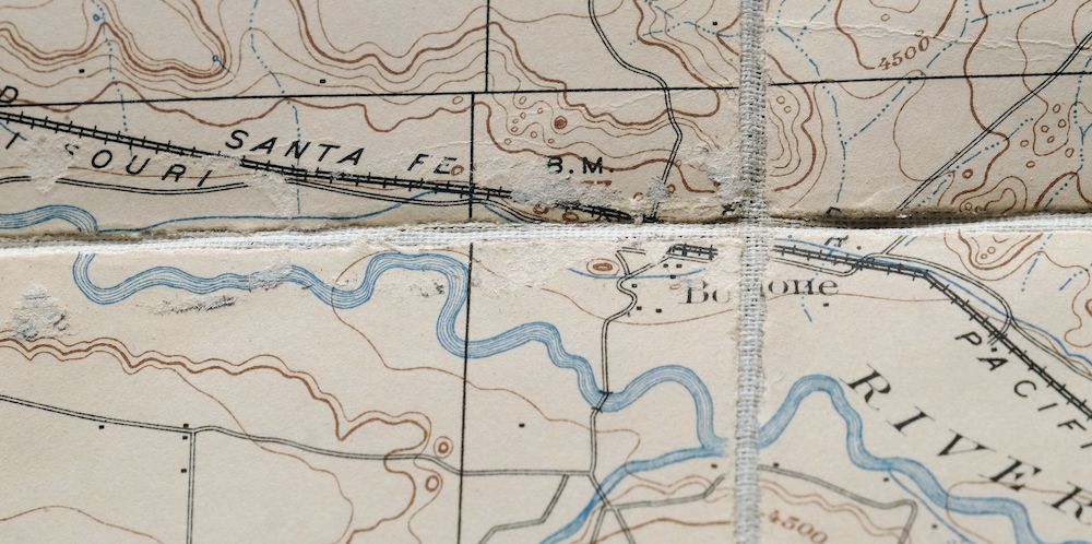
| MAP NOTES | This rare canvas-backed sheet is extraordinarily durable; the folding panel setup is ideal for historical study and would look excellent framed, with a folded size of 7 by 10 inches. |
| SHEET CONDITION For maps of this vintage, effort is made to note all visible flaws, no matter how minor. | |
| OVERALL CONDITION | Good |
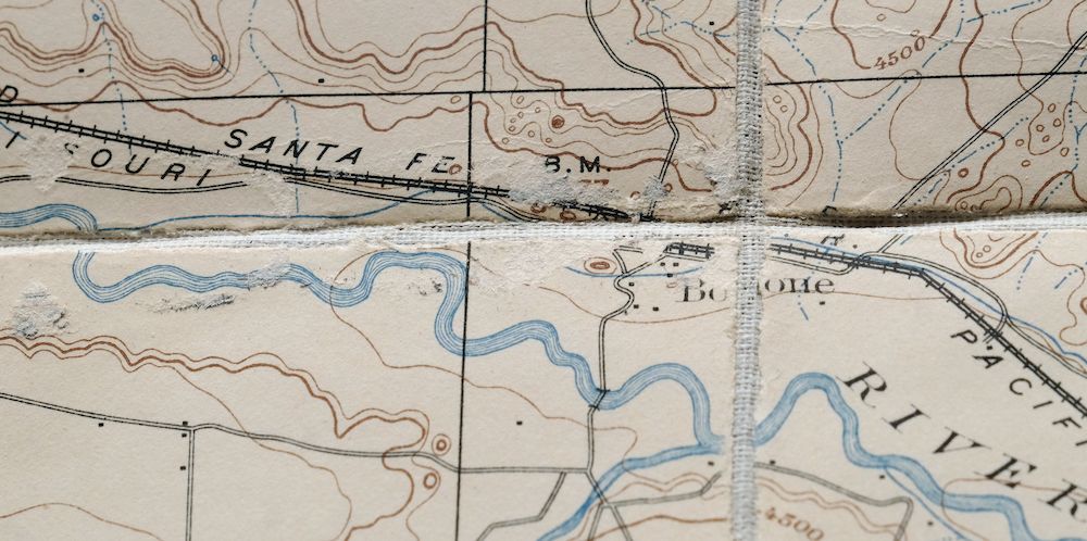
| SHEET NOTES | lightly handled, publisher folds, has original canvas-backing, dried adhesive residue on backside along bottom of sheet - not visible in front |
| MAP AREA | no markings, no blemishes, minor wear at convergence of panels in center of sheet |
| COLLARS | no markings, no blemishes |
 | |
| MAP COVERAGE Quadrangle extent overlaid on current basemap. | |
| PLACENAMES Depending on map series and survey date, all of the features listed below may not be shown on this map. This list contains features that currently exist or historically existed within the area covered by the map. The list can be used as a reference to determine if this map covers your area of interest. Placenames are listed alphabetically next to each feature type. | |
| CITIES AND TOWNS (CURRENT) | Avondale, Boone, Fowler, and Pueblo |
| COUNTIES COVERED | Crowley, Otero, and Pueblo |
| FEDERAL LAND UNITS | High Speed Ground Test Center and Pueblo Chemical Depot (Closed) |
| RIVERS AND STREAMS | Andy Creek, Apishapa River, Arkansas River, Black Squirrel Creek, Burnt Creek, Chico Creek, Chicosa Creek, Doyle Arroyo, Dry Creek, Fourmile Creek, Goat Butte Creek, Haynes Creek, Huerfano River, Kramer Creek, Mustang Creek, North Chicosa Creek, Saint Charles River, Sixmile Creek, and South Chicosa Creek |
| WATER BODIES | Dotson Reservoir, Hardesty Reservoir, Hungerford Lake, Lodge Lake, Nepesta Reservoir Number 5, Thatcher Reservoir, Thunderbird Lake, Tolle and Ditch Reservoir Number 1, Upper Chicosa Reservoir, and Vertrees Reservoir |
| Locations: Arnold and Harriman Ranch, Bar J H Ranch, Flying A Ranch, Butler Ranch, East Cox Windmill, Fowler Golf Course, May Ranch, Schubert Ranch, and Undercliffe Community Center. Mountain Ranges: Badger Hills and Hooker Hills. Mountains, Peaks, and Summits: Boone Hill. Valleys and Canyons: Hardesty Draw, Horse Pasture Canyon, Long Draw, Simpson Arroyo, Thompson Arroyo, Tom Hollow, and Wolf Arroyo. Drainages: Andy Creek, Black Squirrel Creek, Boone Creek, Burnt Creek, Chico Creek, Chicosa Creek, Doyle Arroyo, Dry Creek, Fourmile Creek, Goat Butte Creek, Haynes Creek, Huerfano River, Kramer Creek, Mustang Creek, North Chicosa Creek, Saint Charles River, Sixmile Creek, and South Chicosa Creek. Mines: Empire Zinc Mine. Churches: Highlands Church, San Jose Church, and Vineland Church. Lakes and Ponds: Hungerford Lake, Lodge Lake, and Thunderbird Lake. Dams: Chicosa Number 5 Dam, Dotson and Enlargement Dam, Hardesty Dam, Thatcher Dam, Tolle and Ditch Number 1 Dam, and Vertrees Dam. Canals: Excelsior Ditch, Colorado Canal, Huerfano Cucharas Ditch, Nepesta Ditch, Nepesta Farmers Ditch, Oxford Farmers Ditch, and Welton Ditch. Bridges: Doyle Bridge. Basins: Big Sand Hole. Airports: Fowler Airfield, Fowler Airport, Huerfano AG Airport, Pueblo Memorial Airport, and Youtsey Airport. Schools: Banner School, Excelsior School, Grandview School, Lakeside School, and Pueblo County Junior High School. Reservoirs and Tanks: Alderd Tank, Chicosa Reservoir Number 5, Dotson Reservoir, Dotson and Enlargement Reservoir, Double Tank, East Chicos Reservoir, East Cox Reservoir, Goodwin Reservoir, Hardesty Reservoir, Huerfano Lake, Lower Chicosa Reservoir, McClain Reservoir, McFarland Reservoir Number 1, McFarland Reservoir Number 2, Nepesta Reservoir Number 5, Thatcher Reservoir, Tolle and Ditch Reservoir Number 1, Upper Chicosa Reservoir, Vertrees Reservoir, and West Chicos Reservoir. Wells: Alderd Well and Fountain Well. Springs: Iron Spring. | |
| SHIPPING AND RETURNS | |
| This map sheet will be shipped folded in a padded mailer via the US Postal Service. If you find that the sheet you receive is not as described in the listing, you may ship it back to us for a refund of the purchase price. | |
Nepesta Colorado Pueblo Fowler USGS Topo Map 1904 Antique
$45
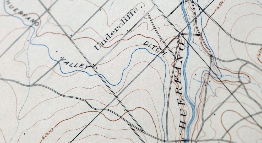
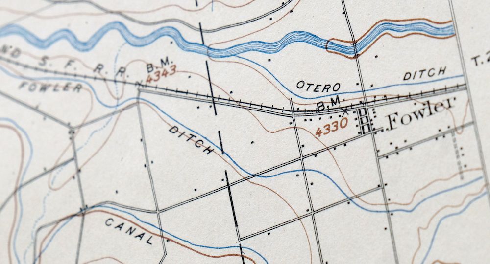
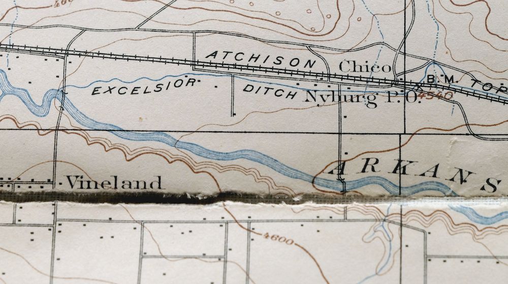
Printed in its first year of publication, 1904, this USGS reconnaissance topographic sheet is in good condition, lightly handled with its original canvas backing intact. On a 30-minute scale of 1:125,000, the quad takes in the country southeast of Pueblo along the Arkansas River valley, with Fowler, Avondale, and Boone falling within its boundaries in Pueblo, Otero, and Crowley counties. Engraved in 1904 under geographer A.H. Thompson and drawn from field survey work carried out between 1894 and 1903, this antique sheet reflects the early reconnaissance mapping of southeastern Colorado. The canvas backing makes it unusually durable, and the folding panels are well suited to historical study.
In stock
This antique sheet is a 1904 edition of the Nepesta Colorado USGS topographic map. It is an authentic 122-year-old United States Geological Survey print in good condition.
HOW THIS MAP CAN BE USED
In addition to making a fascinating conversation piece, this sheet would look great in a frame or on display, make a unique and prized gift for anyone interested in this area, be perfect as a reference for genealogy studies or general historical research, or fill that missing piece in your collection.
FEATURES SHOWN ON THE MAP
The Nepesta 30-minute map shows cities and towns, roads, railroads, rivers, creeks, elevation contour lines, public land survey lines, county, state, and other administrative boundaries as they existed at the time of the survey in 1894 through 1903.
A VALUABLE HISTORICAL RECORD
Maps from the USGS 30-minute series have been out of print for many years. They have never been common and original prints are increasingly difficult to find. For areas where the 30-minute map was produced, it is usually the first large-scale survey done by the USGS for that area. These are a valuable historical record, as they contain many placenames and features that have been dropped from more recent series’ and editions.
Nearby maps
-
Pueblo Colorado San Isabel NF Penrose USGS Topo Map 1923
$52 Add to cart -
Big Springs Colorado Ellicont Rush USGS Topographic Map 1900
$40 Add to cart -
Apishapa Colorado Thatcher Delhi USGS Topo Map 1897 Antique
$52 Add to cart -
Arroyo Colorado Wild Horse Boyero USGS Topo Map 1901 Antique
$41 Add to cart -

Mesa De Maya Colorado Branson Villegreen USGS Topo Map 1901
$44 Add to cart -

Mount Carrizo Colorado Kim Andrix USGS Topographic Map 1901
$40 Add to cart -

Cheyenne Wells Colorado Arapahoe USGS Topo Map 1894 Antique
$68 Add to cart -
Electric Peak Colorado Sangre de Cristo USGS Topo Map 1974
$33 Add to cart -
Kassler Colorado Roxborough Park Louviers USGS Topo Map 1956
$48 Add to cart -
Platte Canyon Colorado South Platte USGS Topo Map 1955
$44 Add to cart -
Brilliant New Mexico USGS 15-Min Topo Map 1915 Antique
$47 Add to cart -
Highland Ranch Colorado Denver Southglenn USGS Topo Map 1949
$42 Add to cart -
Coal Creek Colorado Aurora USGS Topographic Map 1942 Antique
$45 Add to cart -
Fitzsimons Colorado Denver Aurora USGS Topo Map 1948 Vintage
$36 Add to cart -
Bailey Colorado Will-O-The-Wisp Wandcrest USGS Topo Map 1973
$40 Add to cart -
Poncha Springs Colorado Salida Nathrop USGS Topo Map 1970
$41 Add to cart -
Shawnee Colorado Singleton USGS Topographic Map 1972 Vintage
$39 Add to cart -

Fort Logan Colorado Denver Bow Mar USGS Topographic Map 1941
$38 Add to cart -

Box Elder School Colorado Denver Aurora USGS Topo Map 1942
$38 Add to cart -
Koehler New Mexico Maxwell NWR Maxwell USGS Topo Map 1937
$51 Add to cart -
Georgetown Colorado Idaho Springs USGS Topo Map 1980 Vintage
$42 Add to cart -

Eastlake Colorado Westminster Thornton USGS Topo Map 1944
$44 Add to cart -
Eastlake Colorado Westminster Thornton USGS Topo Map 1967
$39 Add to cart -

Lafayette Colorado Westminster Thornton USGS Topo Map 1967
$38 Add to cart
