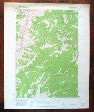
MAP DETAILS | |
|---|---|
| TITLE | Cuprum |
| STATE | Idaho, Oregon |
| SURVEYED | 1951 and 1957 Aerial and Field Survey |
| PRINT NOTES | Thick paper stock, includes woodland tint (green to indicate vegetated areas) |
| SCALE | 1:62500 |
| CONTOUR INTERVAL | 80 feet |
| SHEET DIMENSIONS | 16 7/8 x 20 7/8 inches |
| MAP DIMENSIONS | 12 3/8 x 17 1/2 inches |
| COVERAGE AREA | 12 x 17 miles |
| SHEET CONDITION For maps of this vintage, effort is made to note all visible flaws, no matter how minor. | |
| SHEET NOTES | lightly handled, never folded |
| MAP AREA | flawless map area |
| COLLARS | no markings, very minor blemishes, no edge tears, minor handling wear in collars, small inventory stamp in lower right collar corner |
| MAP COVERAGE Quadrangle extent overlaid on current basemap. | |
| PLACENAMES Depending on map series and survey date, all of the features listed below may not be shown on this map. This list contains features that currently exist or historically existed within the area covered by the map. The list can be used as a reference to determine if this map covers your area of interest. Placenames are listed alphabetically next to each feature type. | |
| NOTABLE PLACES | Helena, Seven Devils, and Hells Canyon |
| CITIES AND TOWNS (CURRENT) | Cuprum |
| COUNTIES COVERED | Adams and Wallowa |
| FEDERAL LAND UNITS | Hells Canyon National Recreation Area, Hells Canyon Wilderness, and Payette National Forest |
| RIVERS AND STREAMS | Allison Creek, Bear Creek, Boulder Creek, Buck Creek, Camp Creek, Cold Spring Creek, Copper Creek, Deep Creek, Degits Creek, Doyle Creek, Eckels Creek, Fawn Creek, Flat Creek, Granite Creek, Granite Fork, Grouse Creek, Heady Creek, Indian Creek, Kinney Creek, Kirby Creek, Lake Fork, Leep Creek, Lick Creek, Limepoint Creek, Little Bear Creek, Lost Creek, Lynch Creek, Mickey Creek, Oxbow Creek, Paradise Creek, Placer Creek, Rapid River, Sawpit Creek, Short Creek, Slim Creek, Snake River, Squaw Creek, Steamboat Creek, Steen Creek, Steves Creek, Thirtytwo Point Creek, Trail Creek, Wesley Creek, West Fork Rapid River, West Fork Weiser River, and Wickiup Creek |
| Idaho Locations: Barrinaga Corrals, Bear Campground, Bear Guard Station, Black Lake Campground, Huckleberry Campground, Iron Springs, Jackley Mountain Lookout, Lick Creek Lookout, Lynes Ranch, and Sheep Rock Overlook. Mountains, Peaks, and Summits: Black Imp, Casey Mountain, Curren Mountain, Echols Mountain, Emmett Mountain, Horse Mountain, Jackley Mountain, Middle Mountain, Monument Peak, Pepperbox Hill, Pyramid Peak, Sheep Rock, Smith Mountain, and White Mountain. Valleys and Canyons: Anderson Gulch, Bessie Gulch, Butterfield Gulch, Devils Hollow, Dry Gulch, Hardrock Gulch, Hathaway Gulch, Hitchcock Gulch, Hoo Hoo Gulch, Huntley Gulch, Negro Jim Gulch, Pactolian Gulch, Red Gulch, Schoolmam Gulch, and Sucker Gulch. Trails: Deep Creek Trail, Rapid River Trail, Red Ledge Trail, and Sheep Rock National Recreation Trail. Drainages: Allison Creek, Camp Creek, Cold Spring Creek, Copper Creek, Deep Creek, Fawn Creek, Garnet Creek, Granite Fork, Heady Creek, Kinney Creek, Ladder Creek, Lake Creek, Little Bear Creek, Little Dry Gulch, Mann Creek, Mickey Creek, Oxbow Creek, Placer Creek, Ritchie Gulch, Rock Creek, Rose Creek, Sawpit Creek, Slim Creek, Trail Creek, and Wesley Creek. Mines: Alaska Mine, Bluejacket Mine, Copper Cliff Mine, Red Ledge Mine, and South Peacock Mine. Lakes and Ponds: Black Lake, Crystal Lake, Emerald Lake, Ruth Lake, Satan Lake, Twin Lakes, and Lake Winifred. Dams: Copper Cliffs Tailings Dam, Hells Canyon Dam, and Silver King Mines Number One Dam. Bluffs: Black Point and Kinney Point. Gaps: Bear Saddle, Holbrook Saddle, Joes Gap, Lockwood Saddle, Lynes Saddle, Oxbow Saddle, and Purgatory Saddle. Beaches: Red Ledge. Basins: Horse Pasture Basin, Lost Basin, Placer Basin, and Six Lake Basin. Bars: Big Bar and Eagle Bar. Airports: Seven Devils Airport and Seven Devils Ranch Landing Strip. Ridges: Grassy Ridge, Haley Ridge, Tussel Ridge, and White Monument. Reservoirs and Tanks: Hells Canyon Reservoir. Flats: The Flatiron and Paradise Flat. Springs: Big Tamarack Spring, Casey Spring, Little Bear Spring, Stockade Spring, and Towsley Spring. | |
| Oregon Locations: Dove Creek Campground, Lynch Creek Forest Camp, Vermilion Forest Camp, and Vermillion Bar Campground. Drainages: Dove Creek, Doyle Creek, Buck Creek, Kirby Creek, Lynch Creek, Short Creek, Squaw Creek, Steamboat Creek, and Thirtytwo Point Creek. Dams: Hells Canyon Dam. Bars: Fishers Bar. Reservoirs and Tanks: Hells Canyon Reservoir. Flats: Pine Flat. | |
| SHIPPING AND RETURNS | |
 Ships carefully rolled in a sturdy 2" x 18" mailing tube. Shipping and return details are in our terms. | |
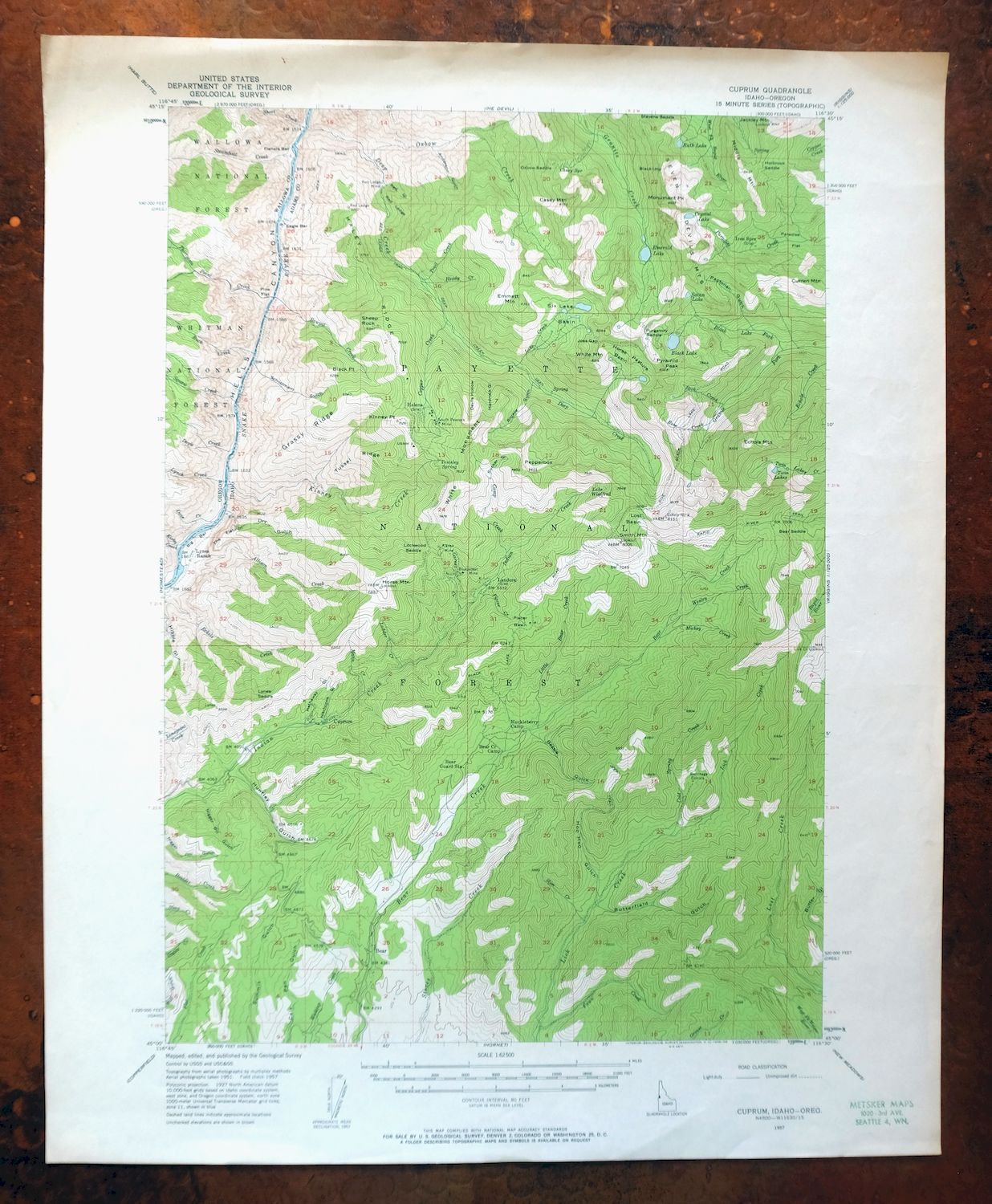

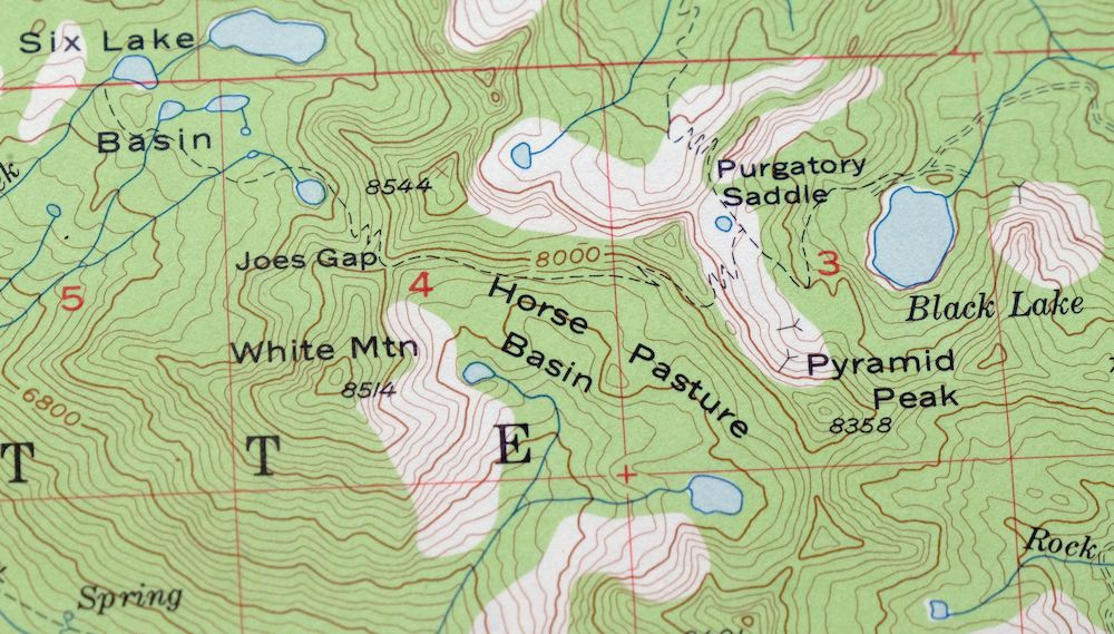
1957 USGS Topo Map: Cuprum, Helena, Idaho/Oregon
$23
- 30 miles north of Council.
- 15-minute series, 1957 edition, printed in 1958.
- Very good condition, never folded.
In stock
This vintage sheet is a 1957 edition of the Cuprum Idaho USGS topographic map. It is an original 68-year-old 1958 United States Geological Survey print in very good condition.
HOW THIS MAP CAN BE USED
In addition to making a fascinating conversation piece, this sheet would look great in a frame or on display, make a unique and prized gift for anyone interested in this area, be perfect as a reference for genealogy studies or general historical research, or fill that missing piece in your collection. Maps of this vintage are printed on durable stock and are well-suited for outdoor activities and recreation of all kinds, including hiking, backpacking, hunting, rafting and kayaking, backcountry skiing, geocaching, general exploration, treasure hunting, etc.
FEATURES SHOWN ON THE MAP
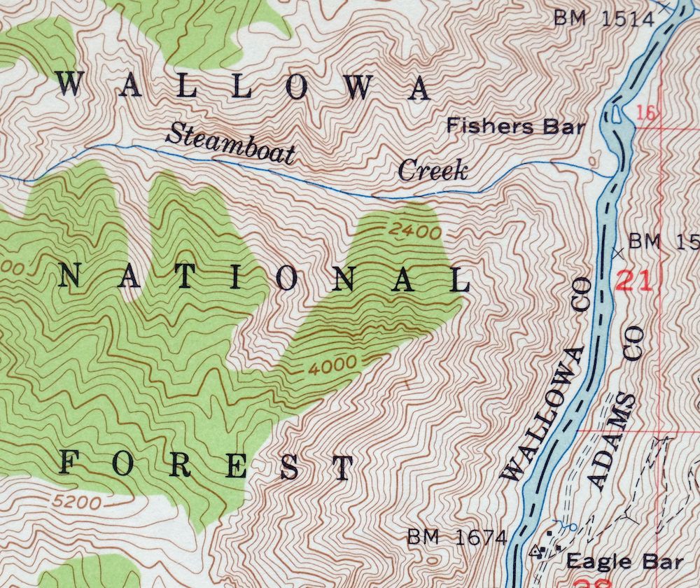
The Cuprum 15-minute map shows cities and towns, roads, railroads, utilities and energy infrastructure, rivers, creeks, elevation contour lines, public land survey lines, county, state, and other administrative boundaries as they existed at the time of the survey in 1951 and 1957. All known structures (houses, businesses, churches, schools, barns, cabins, etc) are also shown.
A VALUABLE HISTORICAL RECORD
Maps from the 15-minute series for the continental United States are no longer produced or printed by the USGS and original prints are becoming increasingly difficult to find. They are a valuable historical record for an area, as they contain many placenames and features that have been dropped from more recent maps.
Nearby maps
-
1952 USGS Topo Map: Olds Ferry, Eaton, Idaho/Oregon
$35 Add to cart -
Squaw Creek, Idaho 1894 USGS Topo Map: Alpha (1948 Print)
$33 Add to cart -
Limekiln Rapids, Idaho/Washington 1946 USGS Topo Map
$27 Add to cart -

Nampa, Idaho/Oregon 1898 USGS Topo Map (1948 Print)
$33 Add to cart -

Walla Walla, Washington/Oregon 1966 USGS Topo Map: Langdon
$34 Add to cart -
1918 USGS Topo Map: Wallula, Walker, Washington/Oregon
$34 Add to cart -

La Crosse, Winona, Washington 1952 USGS Topo Map
$29 Add to cart -

1893 USGS Topo Map: Mountain Home, Cleft, Idaho (1916 Print)
$44 Add to cart -

1952 USGS Topo Map: Benge, Hooper, Washington
$30 Add to cart -
1893 USGS Topo Map: Camas Prairie, Pine, Idaho (1922 Print)
$13 Add to cart -

1956 USGS Topo Map: Goldstone Mountain, Baker, Idaho/Montana
$18 Add to cart -

Badger Mountain, Washington 1965 USGS Topo Map
$33 Add to cart -

Oakesdale, Washington/Idaho 1905 USGS Topo Map (1938 Print)
$24 Add to cart -

Connell, Washington 1918 USGS Topo Map: Lind
$29 Add to cart -

Missoula, Stevensville, Montana/Idaho 1912 USGS Topo Map
$48 Add to cart -
1960 USGS Topo Map: Superior, Clark Fork, Montana
$35 Add to cart -
Lawen, Oregon 1959 USGS Topo Map: Malheur Lake
$25 Add to cart -

1956 USGS Topo Map: Saint Regis, Cherry Peak, Montana
$33 Add to cart -
Coyote Rapids, Washington 1916 USGS Topo Map
$43 Add to cart -
Grandview, Sunnyside, Washington 1951 USGS Topo Map
$25 Add to cart -

Cataldo, Idaho/Montana 1909 USGS Topo Map (1954 Print)
$35 Add to cart -
Red Rock, Washington 1911 USGS Topo Map: Royal City
$20 Add to cart -
Smyrna, Washington 1965 USGS Topo Map: Royal City
$35 Add to cart -

Deer Park, Mead, Washington 1951 USGS Topo Map
$35 Add to cart