MAP DETAILS | |
|---|---|
| TITLE | San Ardo |
| STATE | California |
| LOCATION | 75 miles southwest of Fresno |
| SERIES | 15-minute |
| SURVEYED | 1940 and 1941 Field Survey |
| GEOGRAPHER | T.F. Murphy |
| EDITION | 1943 |
| PRINTED | 1943 |
| PRINT NOTES | Includes woodland tint (green to indicate vegetated areas) |
| SCALE | 1:62500 |
| CONTOUR INTERVAL | 50 feet |
| SHEET DIMENSIONS | 17 x 21 inches |
| MAP DIMENSIONS | 14 1/8 x 17 1/2 inches |
| COVERAGE AREA | 14 x 17 miles |
| SOURCE | From the vintage map collection of Richard Dahlke, Santa Barbara, California |
| SHEET CONDITION For maps of this vintage, effort is made to note all visible flaws, no matter how minor. | |
| OVERALL CONDITION | Good |
| SHEET NOTES | has foldlines |
| MAP AREA | no markings, no blemishes |
| COLLARS | no wear or tears, no markings, no blemishes, library stamp in bottom right collar |
| MAP COVERAGE Quadrangle extent overlaid on current basemap. | |
| PLACENAMES Depending on map series and survey date, all of the features listed below may not be shown on this map. This list contains features that currently exist or historically existed within the area covered by the map. The list can be used as a reference to determine if this map covers your area of interest. Placenames are listed alphabetically next to each feature type. | |
| NOTABLE PLACES | Peachtree Valley and Salinas River |
| CITIES AND TOWNS (CURRENT) | San Ardo |
| COUNTIES COVERED | Monterey and San Benito |
| RIVERS AND STREAMS | Lewis Creek, Pancho Rico Creek, Pine Creek, and San Lorenzo Creek |
| Locations: Mustang Fire Control Station. Administrative Boundaries: San Bernardo and San Lorenzo. Mountains, Peaks, and Summits: Austin Peak, Banchero Rock, Chalk Peak, Cleveland Rock, Monarch Peak, and Negro Hill. Valleys and Canyons: Antone Canyon, Barrell Canyon, Beeman Canyon, Blair Canyon, Brown Canyon, Bryan Canyon, Casey Gulch, Chavoya Canyon, Coyote Canyon, Dutch Henry Canyon, Garrissere Canyon, Green Valley, Griswold Canyon, Hidalgo Canyon, Hog Canyon, Jim Lawson Gulch, Lawson Canyon, Lowe Canyon, Mooney Canyon, Nattrass Valley, Oat Canyon, Pancho Rico Valley, Peachtree Canyon, Pine Valley, Pitman Canyon, Portugee Canyon, Redhead Canyon, Tickner Canyon, Tom Valley, and Windmill Canyon. Drainages: Cow Creek, Pancho Rico Creek, and Pine Creek. Buildings: San Ardo Branch Monterey County Free Libraries. Basins: Paris Valley. Airports: San Ardo Field. Schools: San Ardo Elementary School. Ridges: Mustang Ridge. Springs: Brinan Spring and Iron Springs. | |
| SHIPPING AND RETURNS | |
 This map sheet will be carefully rolled in a sturdy tube and shipped via the US Postal Service. If you find that the sheet you receive is not as described in the listing, you may ship it back to us for a refund of the purchase price. | |
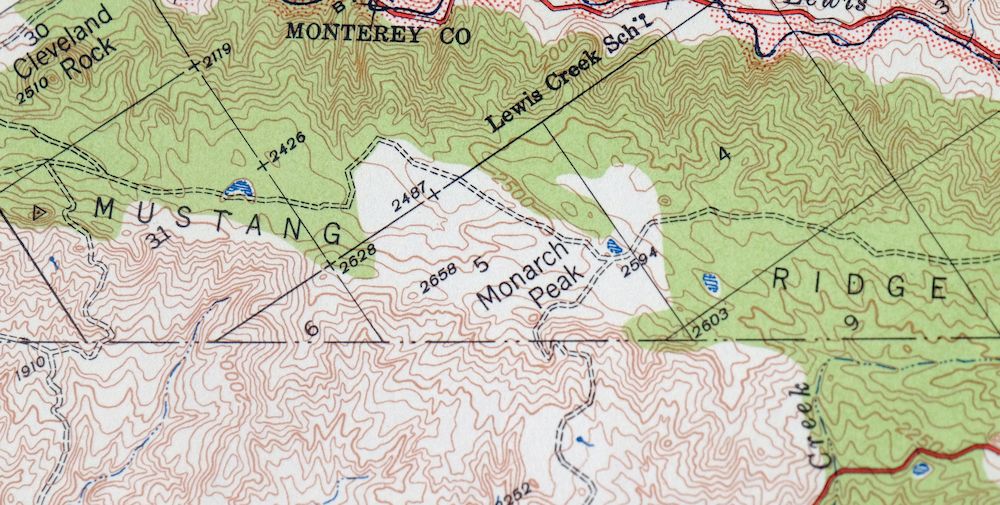
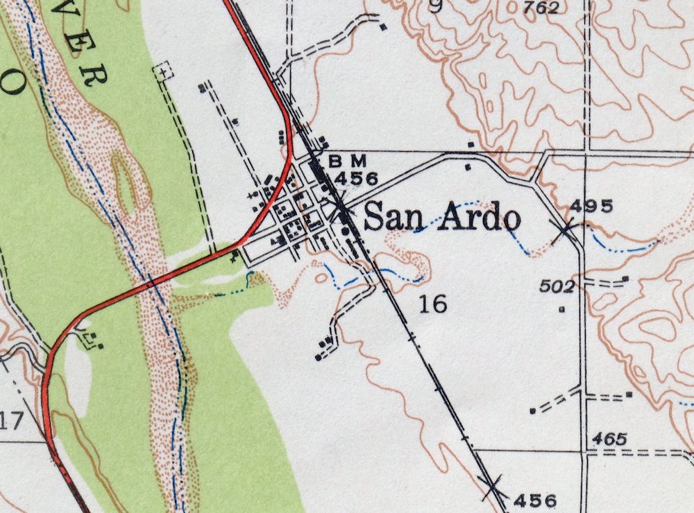
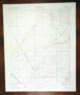
San Ardo California Salinas River USGS Topographic Map 1943
$36
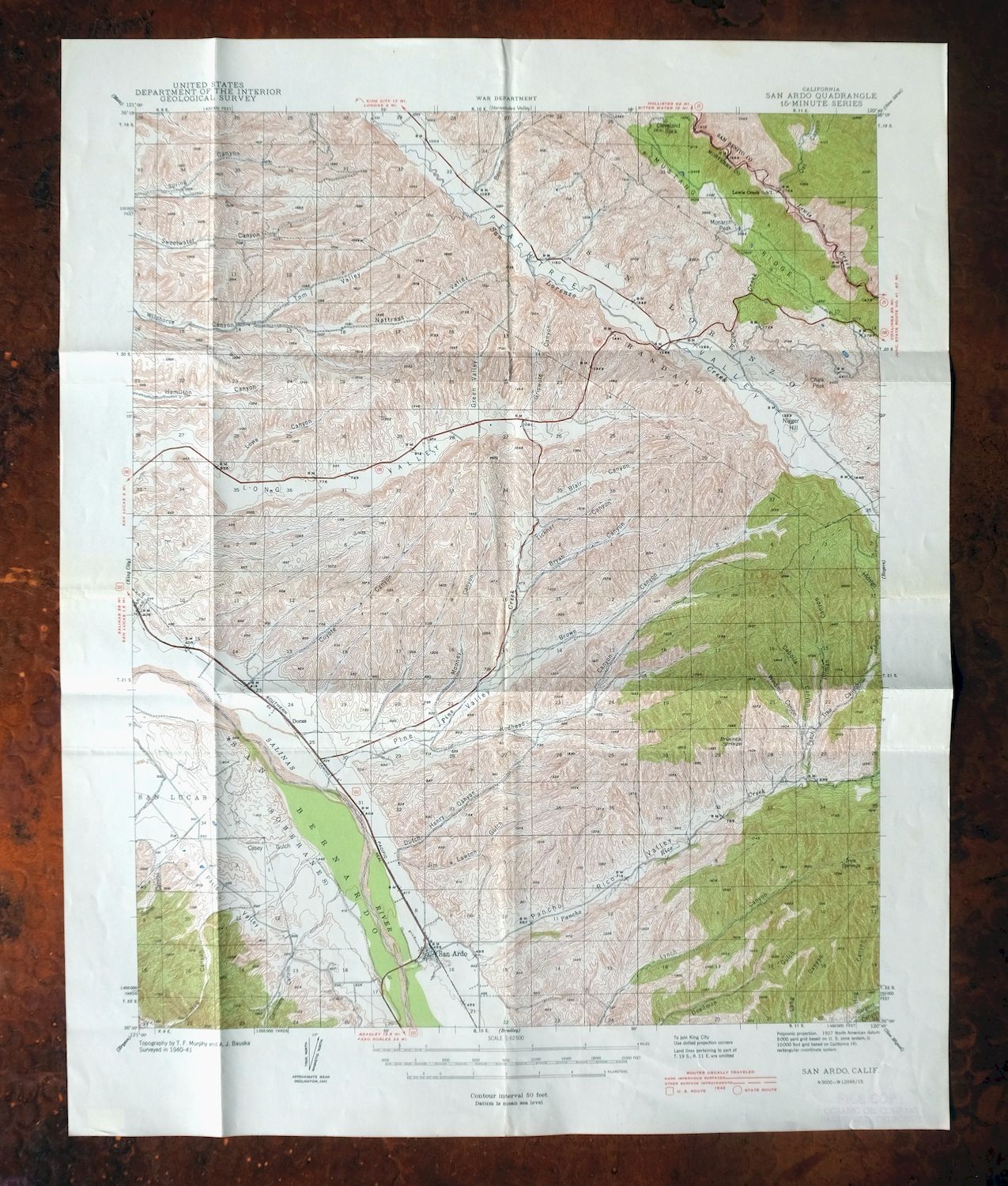
This 1943 USGS topographic map of the San Ardo quadrangle in California is a first-year print, published and printed the same year from field surveys done in 1940 and 1941 under geographer T.F. Murphy. At 1:62,500 scale, it covers an area along the Salinas River in southern Monterey County, taking in the small town of San Ardo, the Peachtree Valley to the east, and a corner of San Benito County. The sheet carries a green woodland tint marking vegetated ground, and it dates from the war years, when USGS maps like this one doubled as War Department topographic sheets.
In stock
This vintage sheet is a 1943 edition of the San Ardo California USGS topographic map. It is an original 83-year-old United States Geological Survey print in good condition.
HOW THIS MAP CAN BE USED
In addition to making a fascinating conversation piece, this sheet would look great in a frame or on display, make a unique and prized gift for anyone interested in this area, be perfect as a reference for genealogy studies or general historical research, or fill that missing piece in your collection.
FEATURES SHOWN ON THE MAP
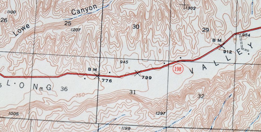
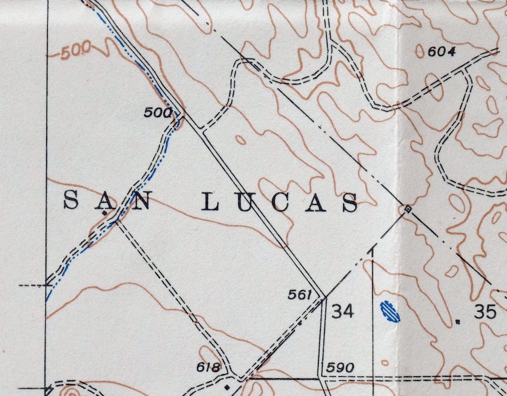
The San Ardo 15-minute map shows cities and towns, roads, railroads, rivers, creeks, elevation contour lines, public land survey lines, county, state, and other administrative boundaries as they existed at the time of the survey in 1940 and 1941. All known structures (houses, businesses, churches, schools, barns, cabins, etc) are also shown.
A VALUABLE HISTORICAL RECORD
Maps from the 15-minute series for the continental United States are no longer produced or printed by the USGS and original prints are becoming increasingly difficult to find. They are a valuable historical record for an area, as they contain many placenames and features that have been dropped from more recent maps.
Nearby maps
-
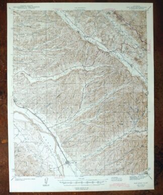
San Ardo California Salinas River USGS Topographic Map 1943
$58 Add to cart -
Greenfield California Salinas River USGS Topo Map 1973
$30 Add to cart -
Reef Ridge California Avenal USGS Topo Map 1937 Antique
$16 Add to cart -
Englebrecht Ranch California Cantua Creek USGS Topo Map 1947
$17 Add to cart -
Englebrecht Ranch California Cantua Creek USGS Topo Map 1923
$26 Add to cart -
Kettleman Plain California Avenal USGS Topo Map 1933 Antique
$20 Add to cart -

Firebaugh California Mendota USGS Topo Map 1947 Vintage
$18 Add to cart -
Helm California Fresno Slough Fish Slough USGS Topo Map 1947
$22 Add to cart -
Jamesan California Tranquillity USGS Topo Map 1924 Antique
$16 Add to cart -
Jamesan California Tranquillity USGS Topo Map 1947 Vintage
$23 Add to cart -
Kerman California Madera Avenue USGS Topographic Map 1947
$25 Add to cart -

Raisin California San Joaquin Valley USGS Topo Map 1947
$38 Add to cart -

Raisin California San Joaquin Valley USGS Topo Map 1947
$44 Add to cart -
Kentucky Well California USGS 7.5-Min Topo Map 1948 Vintage
$32 Add to cart -

Shale Point California Temblor Range USGS Topo Map 1943
$22 Add to cart -

El Rico Ranch California Helm Corner USGS Topo Map 1936
$24 Add to cart -
1914 Lost Hills California USGS Topo Map: Kern NWR
$38 Add to cart -

Reynolds Ranch California Lost Hills USGS Topo Map 1940
$23 Add to cart -

Chowchilla California Le Grand El Nido USGS Topo Map 1962
$20 Add to cart -

Remnoy California Hamblin Hanford USGS Topo Map 1927 Antique
$30 Add to cart -
Simmler California USGS 15-Min Topographic Map 1943 Vintage
$32 Add to cart -
Selma California Fresno Sanger USGS Topo Map 1954 Vintage
$35 Add to cart -
Kismet California Madera USGS 7.5-Min Topo Map 1948 Vintage
$32 Add to cart -

Le Grand California Madera Chowchilla USGS Topo Map 1963
$14 Add to cart