| MAP DETAILS | |
|---|---|
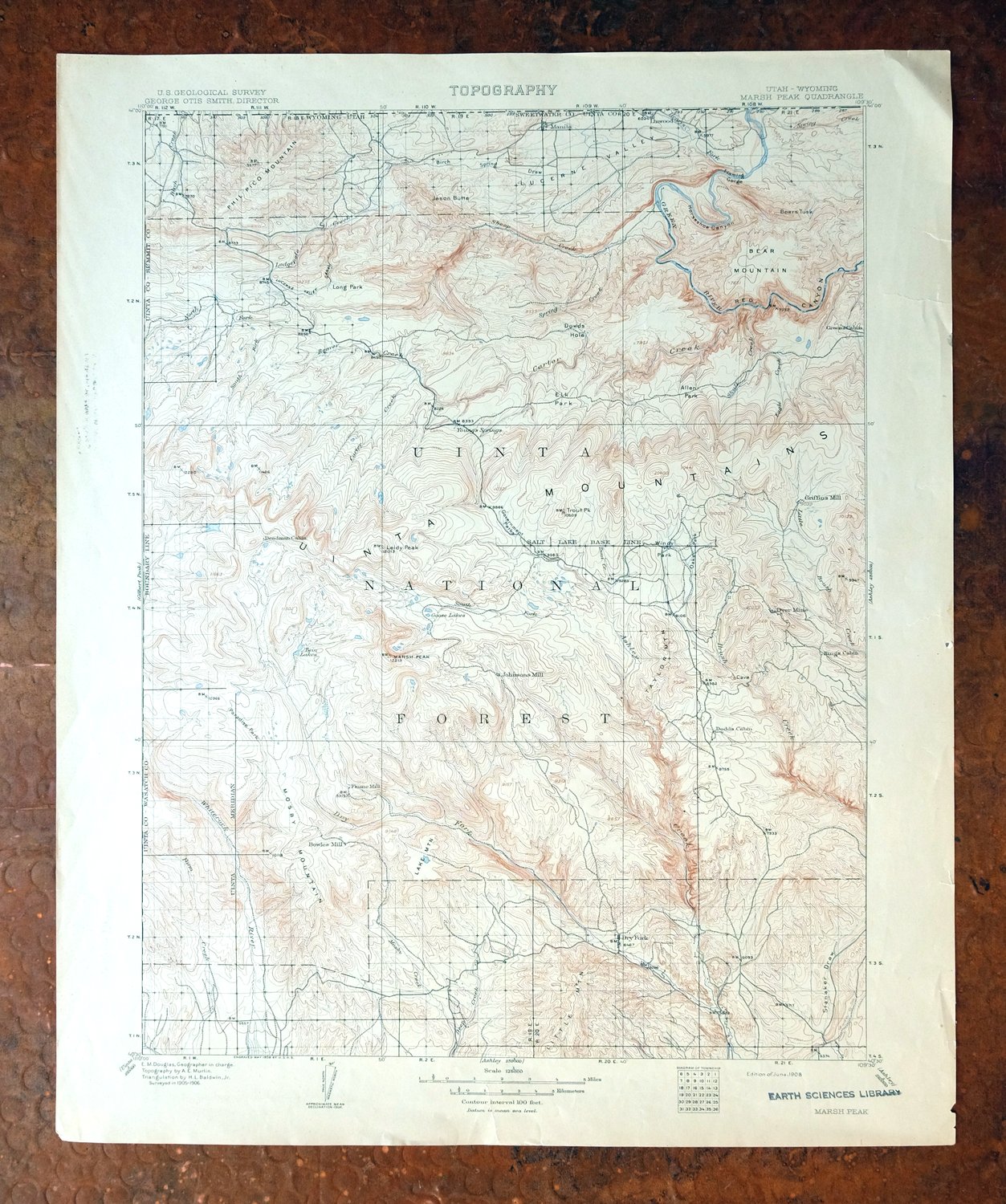
| TITLE | Marsh Peak |
| STATE | Utah, Wyoming |
| LOCATION | 25 miles northwest of Vernal |
| SERIES | 30-minute |
| SURVEYED | 1905 and 1906 Field Survey |
| GEOGRAPHER | E.M. Douglas |
| EDITION | 1908 |
| PRINTED | 1908 |
| SCALE | 1:125000 |
| CONTOUR INTERVAL | 100 feet |
| SHEET DIMENSIONS | 16 1/2 x 20 inches |
| MAP DIMENSIONS | 13 1/4 x 17 1/2 inches |
| COVERAGE AREA | 26 x 35 miles |
| SHEET CONDITION For maps of this vintage, effort is made to note all visible flaws, no matter how minor. | |
| OVERALL CONDITION | Good |
| SHEET NOTES | lightly handled, never folded |
| MAP AREA | no markings, no blemishes |
| COLLARS | no markings, very minor blemishes, a few stabilized edge tears |
| MAP COVERAGE Quadrangle extent overlaid on current basemap. | |
| BACKSIDE LEGEND | |
 A map summary is printed on the back side of the Marsh Peak sheet similar to the one shown in the picture. It outlines the history, purpose, and status of the USGS mapping program at the time of the printing in 1908. It also provides instructions on how to read contour lines and a description of how they are used to depict the terrain. At the bottom of the page is a legend showing all of the symbols used to represent the cultural, relief, and water features found on the map. | |
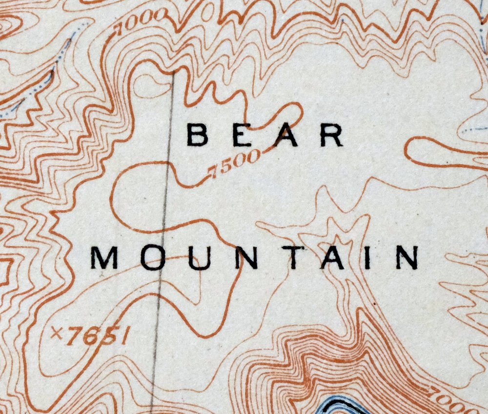
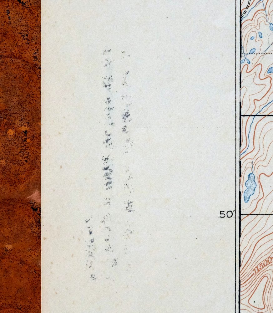

Marsh Peak Utah Manila McKinnon USGS Topo Map 1908 Antique
$80
Printed in its year of first publication, 1908, this USGS 30-minute topographic sheet is in good condition, lightly handled and never folded. Its bounding box straddles the Utah-Wyoming line about 25 miles northwest of Vernal, taking in portions of the Ashley National Forest and the Uintah and Ouray Indian Reservation along with the community of Manila. Drawn from an 1905 and 1906 field survey by geographer E.M. Douglas, the map records the Green River country as it was before Flaming Gorge Reservoir filled the canyon. The reverse carries printed reference material about the mapping program of the era.
In stock
This antique sheet is a 1908 edition of the Marsh Peak Utah USGS topographic map. It is an authentic 118-year-old United States Geological Survey print in good condition.
HOW THIS MAP CAN BE USED
In addition to making a fascinating conversation piece, this sheet would look great in a frame or on display, make a unique and prized gift for anyone interested in this area, be perfect as a reference for genealogy studies or general historical research, or fill that missing piece in your collection.
FEATURES SHOWN ON THE MAP
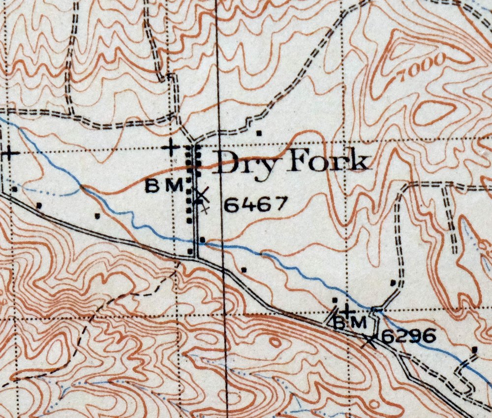
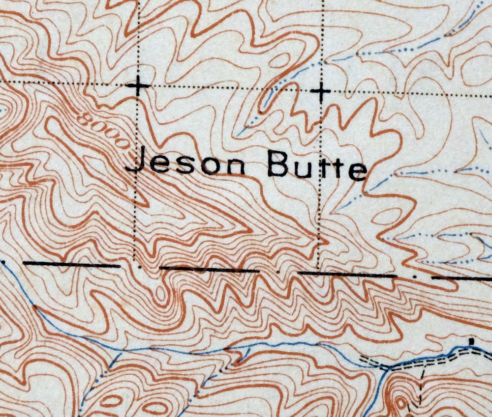
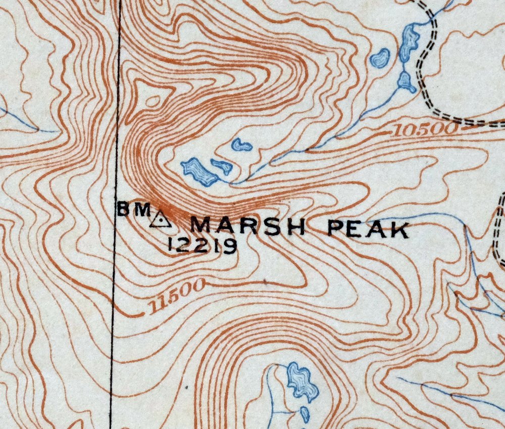
The Marsh Peak 30-minute map shows cities and towns, roads, railroads, rivers, creeks, elevation contour lines, public land survey lines, county, state, and other administrative boundaries as they existed at the time of the survey in 1905 and 1906.
A VALUABLE HISTORICAL RECORD
Maps from the USGS 30-minute series have been out of print for many years. They have never been common and original prints are increasingly difficult to find. For areas where the 30-minute map was produced, it is usually the first large-scale survey done by the USGS for that area. These are a valuable historical record, as they contain many placenames and features that have been dropped from more recent series’ and editions.
PLACENAMES
The following places are found within the boundary of this quadrangle. They may or may not be shown or labeled, depending on the map series and vintage.
* Cities and Towns-> Manila, McKinnon, and Washam
* Counties Covered-> Daggett, Duchesne, Sweetwater, and Uintah
* Federal Land Units-> Ashley National Forest, Flaming Gorge National Recreation Area, Flaming Gorge Reservoir, Steinaker Reservoir, and Uintah and Ouray Indian Reservation
* Rivers and Streams-> Anderson Creek, Ashley Creek, Big Brush Creek, Birch Creek, Black Canyon Creek, Burnt Creek, Cart Creek, Carter Creek, Center CreekCenter Fork Eagle Creek, and others
* Water Bodies-> Anson Lake, Big Lake, Blue Lake, Briggs Reservoir, Browne Lake, Chimney Rock Lake, Cliff Lake, Daggett Lake, Dead LakeDeadman Lake, and others
Nearby maps
-

Jensen Utah Vernal Dinosaur USGS 30-Min Topographic Map 1910
$63 Add to cart -

Duchesne Utah Roosevelt Neola USGS Topo Map 1939 Antique
$60 Add to cart -

Hayden Peak Utah Uinta Mountains USGS Topo Map 1946 Vintage
$46 Add to cart -
Grand Hogback Colorado Rifle Silt USGS Topographic Map 1959
$48 Add to cart -
Sunnyside Utah Book Cliffs East Carbon USGS Topo Map 1915
$74 Add to cart -

Castle Gate Utah Price Helper USGS Topo Map 1968 Vintage
$49 Add to cart -
Woodside Utah Book Cliffs Cedar USGS Topographic Map 1973
$37 Add to cart -
Provo Utah Uinta NF Spanish Fork USGS Topo Map 1959 Vintage
$48 Add to cart -
Monument Butte Colorado Moffat Hamilton USGS Topo Map 1915
$64 Add to cart -

Roan Creek Colorado USGS 15-Min Topographic Map 1950 Vintage
$47 Add to cart -

Moroni Utah Fountain Green USGS 15-Min Topo Map 1968 Vintage
$47 Add to cart -

Daton Peak Colorado Routt NF Hayden USGS Topo Map 1965
$40 Add to cart -
Grand Junction Colorado Redlands USGS Topo Map 1964 Vintage
$58 Add to cart -

Castle Dale Utah Ferron Clawson USGS Topographic Map 1925
$52 Add to cart -
The Wickiup Utah Mexican Mountain WSA USGS Topo Map 1967
$25 Add to cart -
Pilot Knob Colorado Routt NF USGS Topo Map 1963 Vintage
$42 Add to cart -
Stockton Utah Tooele Rush Valley USGS Topo Map 1941 Antique
$44 Add to cart -
Soda Springs Idaho Cache NF Grace USGS Topo Map 1951 Vintage
$42 Add to cart -

Pearl Colorado USGS 15-Min Topographic Map 1969 Vintage
$46 Add to cart -
The Spur Utah Canyonlands USGS 15-Min Topo Map 1971 Vintage
$44 Add to cart -
Leon White River NF Colorado USGS 7.5-Min Topo Map 1988
$42 Add to cart -

Hatch Rock Utah La Sal La Sal USGS Topo Map 1965 Vintage
$28 Add to cart -
Highland Peak Colorado Snowmass Village USGS Topo Map 1988
$52 Add to cart -
Fiddler Butte Utah USGS 15-Min Topographic Map 1958 Vintage
$47 Add to cart
