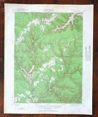
MAP DETAILS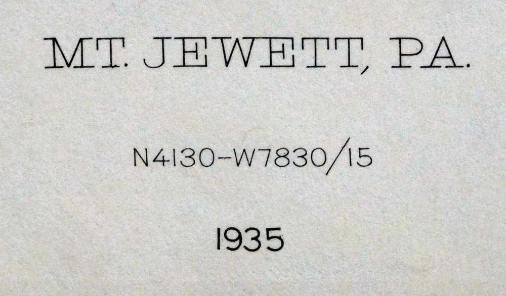 | |
|---|---|
| TITLE | Mount Jewett |
| STATE | Pennsylvania |
| SURVEYED | 1934 and 1935 Field Survey |
| GEOGRAPHER | J.I. Gayetty |
| PRINT NOTES | Thick paper stock, includes woodland tint (green to indicate vegetated areas) |
| SCALE | 1:62500 |
| CONTOUR INTERVAL | 20 feet |
| SHEET DIMENSIONS | 17 x 21 inches |
| MAP DIMENSIONS | 13 1/8 x 17 1/2 inches |
| COVERAGE AREA | 13 x 17 miles |
| SHEET CONDITION For maps of this vintage, effort is made to note all visible flaws, no matter how minor. | |
| SHEET NOTES | lightly handled, never folded |
| MAP AREA | flawless map area |
| COLLARS | no markings, very minor blemishes, edge protectors applied, no edge tears, library stamp in right collar |
| MAP COVERAGE Quadrangle extent overlaid on current basemap. | |
| PLACENAMES Depending on map series and survey date, all of the features listed below may not be shown on this map. This list contains features that currently exist or historically existed within the area covered by the map. The list can be used as a reference to determine if this map covers your area of interest. Placenames are listed alphabetically next to each feature type. | |
| NOTABLE PLACES | Wilcox, Allegheny NF, and Hazel Hurst |
| CITIES AND TOWNS (CURRENT) | Johnsonburg, Mount Jewett, and St. Marys |
| COUNTIES COVERED | Elk and McKean |
| FEDERAL LAND UNITS | Allegheny National Forest and East Branch Clarion River Lake |
| RIVERS AND STREAMS | Bear Creek, Bear Run, Borgardy Run, Buck Run, County Line Run, Crooked Creek, Doe Run, Dutch Creek, East Branch Clarion River, Gum Boot Run, Hoffman Run, Indian Run, Jet Brook, Johnson Run, Kay Fork, Kinzua Creek, Lanigan Brook, Little Mill Creek, Little Sicily Run, Long Branch, Long Run, Lukes Run, Martin Run, Marvin Creek, Meade Run, Meffert Creek, Middle Fork East Branch Clarion River, Nearing Run, North Fork Straight Creek, Oil Creek, Pine Run, Rocky Run, Sevenmile Run, Sicily Run, Silver Creek, Smith Run, South Branch Kinzua Creek, Stanton Brook, Straight Creek, Warner Brook, West Branch Clarion River, Wilson Run, Windfall Run, and Wolf Run |
| WATER BODIES | Duck Pond, East Branch Lake, and Marsh Ponds |
| Populated Place: Campbelltown, Cartwrights Crossing, Coontown, Dahoga, Freeman, Glen Hazel, Griffiths, Halsey, Hazel Hurst, Hutchins, Instanter, Kanesholm, Kasson, Ketner, Kushequa, Lantz Corners, Marvindale, Midmont, Mount Jewett, Rasselas, Streights, Tambine, Wilcox, and Williamsville. Locations: McKean Landfill, Boyer Station, Bridgetown, Burning Well, Clarion Junction Station, Ginalsburg, Lafayette, Lafayette Station, and Peep. Administrative Boundaries: Borough of Mount Jewett, Township of Hamlin, Township of Jones, and Township of Sergeant. Mountains, Peaks, and Summits: Bishops Summit, Howard Hill, North Fork Summit, Pistner Hill, and Seven Mile Summit. Valleys and Canyons: Birch Hollow, Bloomster Hollow, Briggs Hollow, Carlson Hollow, Howes Hollow, Jenkins Hollow, Larson Hollow, Mealey Hollow, Myers Hollow, Naval Hollow, Ospeck Hollow, Pest Hollow, Rock Hollow, Shelander Hollow, Shingle Mill Hollow, Slick Hollow, Stone Dock Hollow, Whittaker Hollow, and Wildcat Hollow. Parks: Bendigo State Park, Elk State Park, State Game Lands Number 25, and State Game Lands Number 62. Trails: Shawmut Trail. Drainages: Bear Creek, Beckwith Run, Bendigo Run, Borgardy Run, Buck Run, Cold Spring Run, County Line Run, Crooked Creek, Doe Run, Dutch Creek, Fivemile Run, Gum Boot Run, Hoffman Run, Indian Run, Jet Brook, Johnson Run, Kane Creek, Lanigan Brook, Little Sicily Run, Little Wolf Run, Long Branch, Long Run, Lukes Run, Maple Run, Martin Run, Meffert Creek, Middle Fork East Branch Clarion River, Nearing Run, North Fork Straight Creek, Oil Creek, Rocky Run, Sevenmile Run, Sicily Run, Slide Run, Smith Run, South Fork Straight Creek, Stanton Brook, Straight Creek, Swamp Creek, Warner Brook, Wildcat Run, Wilson Run, Windfall Run, and Wolf Run. Churches: Lebanon Church, Nebo Church, and Saint Josephs Church. Post Office: Hazel Hurst Post Office, Mount Jewett Post Office, and Wilcox Post Office. Buildings: Hamlin Township Volunteer Fire Department - Station 20, Mount Jewett Area Ambulance Association, Mount Jewett Volunteer Fire Department - Station 10, Pennsylvania State Police Troop C Kane Station, and Wilcox Volunteer Fire Department Company 6. Dams: East Branch Clarion River Lake Dam. Swamps: Cathrine Swamp. Census: Wilcox Census Designated Place. Schools: Johnsonburg Area Elementary School, Johnsonburg Area Junior Senior High School, Mount Jewett Elementary School, Stenstrom School, and Toby Springs School. Reservoirs and Tanks: Duck Pond, East Branch Clarion River Lake, and Marsh Ponds. Oilfields: Burning Well Oil Field, Guffey Oil Field, Halsey Gas Field, Mill Creek Oil and Gas Field, and Nansen Oil and Gas Field. Springs: Carnocker Spring. Cemetery: Kasson Cemetery, Lebanon Lutheran Cemetery, Nebo Lutheran Chapel and Cemetery, Wardvale United Methodist Cemetery, Wilcox Cemetery, Bridge View Cemetery, Holy Cross Cemetery, and Wardville Cemetery. | |
| SHIPPING AND RETURNS | |
 Ships carefully rolled in a sturdy 2" x 18" mailing tube. Shipping and return details are in our terms. | |
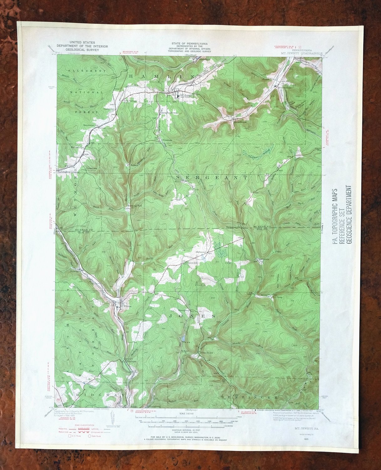
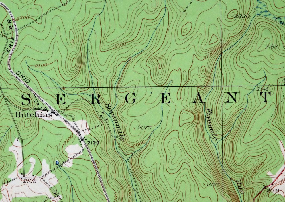
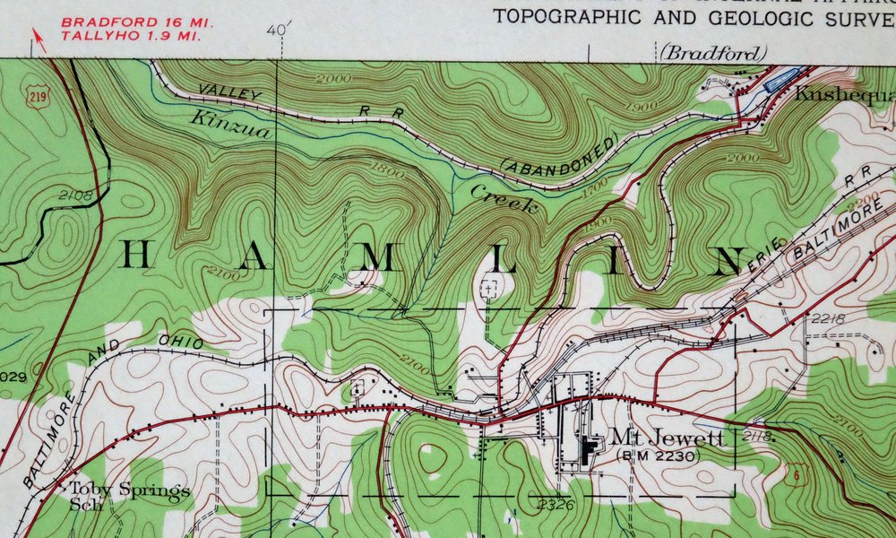
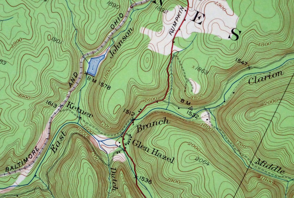
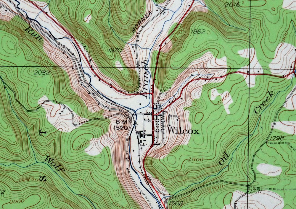
Mount Jewett, Pennsylvania 1935 USGS Topo Map (1965 Print)
$35
- Vicinity of St. Marys.
- 15-minute series, 1935 edition, printed in 1965.
- Very good condition, never folded.
In stock
This vintage sheet is a 1935 edition of the Mount Jewett Pennsylvania USGS topographic map. It is an original 61-year-old 1965 United States Geological Survey print in very good condition.
HOW THIS MAP CAN BE USED
In addition to making a fascinating conversation piece, this sheet would look great in a frame or on display, make a unique and prized gift for anyone interested in this area, be perfect as a reference for genealogy studies or general historical research, or fill that missing piece in your collection. Maps of this vintage are printed on durable stock and are well-suited for outdoor activities and recreation of all kinds, including hiking, backpacking, hunting, rafting and kayaking, backcountry skiing, geocaching, general exploration, treasure hunting, etc.
FEATURES SHOWN ON THE MAP
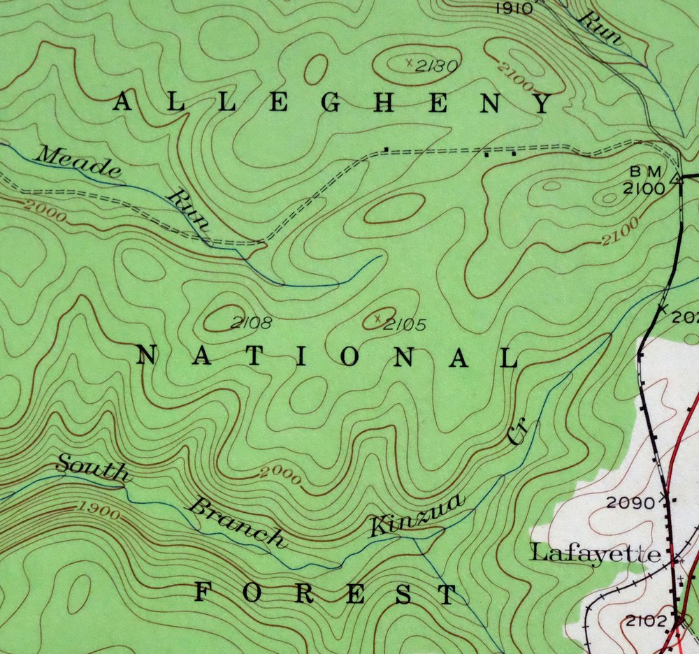
The Mount Jewett 15-minute map shows cities and towns, roads, railroads, utilities and energy infrastructure, rivers, creeks, elevation contour lines, public land survey lines, county, state, and other administrative boundaries as they existed at the time of the survey in 1934 and 1935. All known structures (houses, businesses, churches, schools, barns, cabins, etc) are also shown, with exceptions in some urban areas, where only landmark buildings may be shown.
A VALUABLE HISTORICAL RECORD
Maps from the 15-minute series for the continental United States are no longer produced or printed by the USGS and original prints are becoming increasingly difficult to find. They are a valuable historical record for an area, as they contain many placenames and features that have been dropped from more recent maps.
Nearby maps
-

Crosby, Norwich, Pennsylvania 1948 USGS Topo Map
$30 Add to cart -
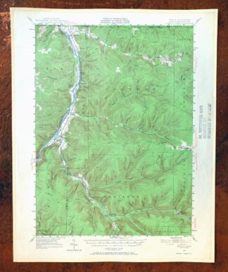
Kinzua, PA/NY 1949 USGS Topo Map (1967 Print)
$38 Add to cart -
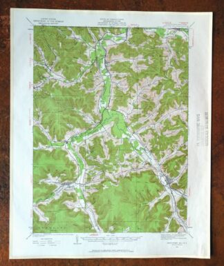
Smethport, PA/NY 1933 USGS Topo Map (1960 Print)
$37 Add to cart -

Coudersport, PA/NY 1934 USGS Topo Map (1966 Print)
$27 Add to cart -

Driftwood, Sinnamahoning, Pennsylvania 1945 USGS Topo Map
$27 Add to cart -
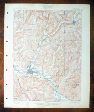
Olean, New York 1898 USGS Topo Map: Cuba (15-minute Series)
$66 Add to cart -

Conrad, Pennsylvania 1947 USGS Topo Map
$29 Add to cart -
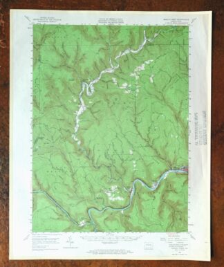
Renovo West, Pennsylvania 1946 USGS Topo Map (1965 Print)
$33 Add to cart -
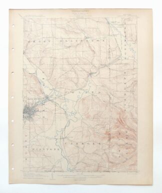
Jamestown, Falconer, New York 1905 USGS Topo Map
$71 Add to cart -
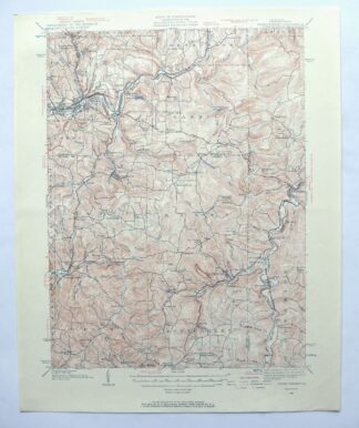
Punxsutawney, Pennsylvania 1939 USGS Topo Map (1957 Print)
$27 Add to cart -
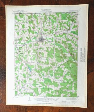
Corry, Pennsylvania/New York 1929 USGS Topo Map (1958 Print)
$27 Add to cart -

Philipsburg, Pennsylvania 1939 USGS Topo Map (1964 Print)
$29 Add to cart -
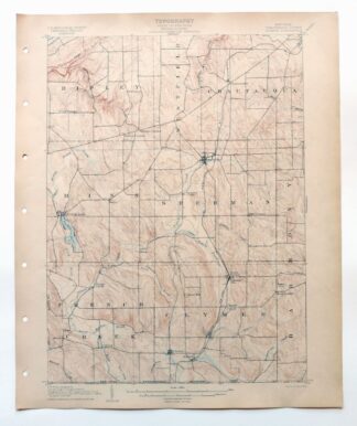
Clymer, Mayville, New York 1905 USGS Topo Map
$70 Add to cart -
Canaseraga, Alfred, New York 1916 USGS Topo Map
$67 Add to cart -
Townville, Pennsylvania 1927 USGS Topo Map (1964 Print)
$35 Add to cart -
1908 USGS Topo Map: Bellefonte, Pennsylvania (1961 Print)
$34 Add to cart -

Elkland, Wellsboro, Pennsylvania/New York 1903 USGS Topo Map
$65 Add to cart -

Union City, PA/NY 1929 USGS Topo Map (1961 Print)
$38 Add to cart -
Elkland, PA/NY 1900 USGS Topo Map (1944 Print)
$42 Add to cart -
Franklin, Pennsylvania 1909 USGS Topo Map (1962 Print)
$31 Add to cart -
1960 USGS Topo Map: Snow Shoe NW, Sproul SF, Pennsylvania
$31 Add to cart -
1960 USGS Topo Map: Snow Shoe, Clarence, Pennsylvania
$29 Add to cart -
1960 USGS Topo Map: Snow Shoe SE, Orviston, Pennsylvania
$33 Add to cart -
Westfield, New York 1899 USGS Topo Map: Mayville
$60 Add to cart