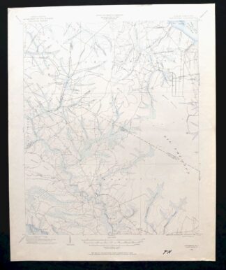
MAP DETAILS | |
|---|---|
| TITLE | Vanceboro |
| STATE | North Carolina |
| SURVEYED | 1902 Field Survey |
| GEOGRAPHER | H.M. Wilson |
| PRINT NOTES | Thick paper stock |
| SCALE | 1:62500 |
| CONTOUR INTERVAL | 10 feet |
| SHEET DIMENSIONS | 17 x 21 inches (approximate) |
| MAP DIMENSIONS | 14 1/4 x 17 1/2 inches |
| COVERAGE AREA | 14 x 17 miles |
| SHEET CONDITION For maps of this vintage, effort is made to note all visible flaws, no matter how minor. | |
| SHEET NOTES | lightly handled, never folded |
| MAP AREA | flawless map area |
| COLLARS | no wear or tears, no blemishes, black marker notation in bottom collar |
| MAP COVERAGE Quadrangle extent overlaid on current basemap. | |
| PLACENAMES Depending on map series and survey date, all of the features listed below may not be shown on this map. This list contains features that currently exist or historically existed within the area covered by the map. The list can be used as a reference to determine if this map covers your area of interest. Placenames are listed alphabetically next to each feature type. | |
| CITIES AND TOWNS (CURRENT) | Ernul and Vanceboro |
| COUNTIES COVERED | Beaufort, Craven, and Pitt |
| RIVERS AND STREAMS | Beaverdam Swamp, Brown Branch, Cals Creek, Chicod Creek, Cindy Edwards Branch, Clayroot Swamp, Creeping Swamp, Fisher Swamp, Gum Swamp Run, Hills Creek, Horse Branch, Little Swift Creek, Mauls Swamp, Nancy Run, Neuse River, Palmetto Swamp, Polland Swamp, Rice Creek, Silas Creek, Swift Creek, Tar River, Thorofare Swamp, and Yeats Creek |
| WATER BODIES | Juniper Swamp |
| Locations: Cove Landing, Heath Landing, Ipock Landing, Lane Landing, Vanceboro Landing, Voice of America, and Wilkes Landing. Administrative Boundaries: Township of Chocowinity and Township 1. Drainages: Bay Branch, Brown Branch, Cals Creek, Cindy Edwards Branch, Clayroot Swamp, Creeping Swamp, Fork Swamp, Gorham Swamp, Gum Swamp Run, Harding Swamp, Hills Creek, Hog Hole Branch, Horse Branch, Horseway Swamp, Joe Branch, Juniper Swamp, Mauls Swamp, Morris Run, Palmetto Swamp, Pine Tree Swamp, Polland Swamp, Rice Creek, Silas Creek, Thorofare Swamp, and White Branch. Islands: Fork Point Island. Capes: Fork Point. Churches: Cedar Grove Church, Chapman Church, Chapmans Church, Clay Bottom Church, Gorham Swamp Church, Haw Branch Church, Holly Hill Church, James Chapel, Joseph Branch Church, Juniper Chapel, Lanes Church, Macedonia Church, Mary and Martha Church, Noe Chapel, Oak Grove Church, Palmeto Church, Providence Church, Queen Chapel, Reunion Chapel, Saint James Church, Saint Peters Church, Tabernacle Church, and Union Chapel. Buildings: Rover Station. Canals: Dividing Canal, Gum Run Canal, Island Canal, Lot Canal, Piney Pond Canal, and Sheppard Run Canal. Bridges: Biddle Bridge and Folly Bridge. Airports: Anderson Landing Strip, Tri-County Airport, and Welbourn Airport. Swamps: Baybush Swamp, Big Pocosin, Blount Pocosin, Island Swamp, Juniper Swamp, and Reedy Pocosin. Schools: Claybottom School, Farm Life School, and Maple Grove School. Flats: The Opening (historical). | |
| SHIPPING AND RETURNS | |
 Ships carefully rolled in a sturdy 2" x 18" mailing tube. Shipping and return details are in our terms. | |
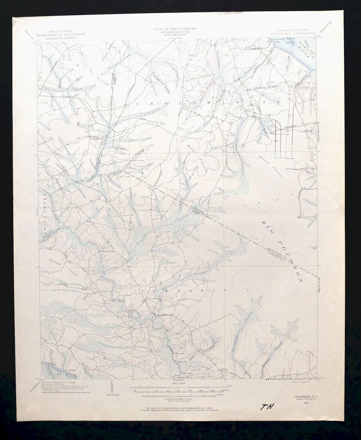
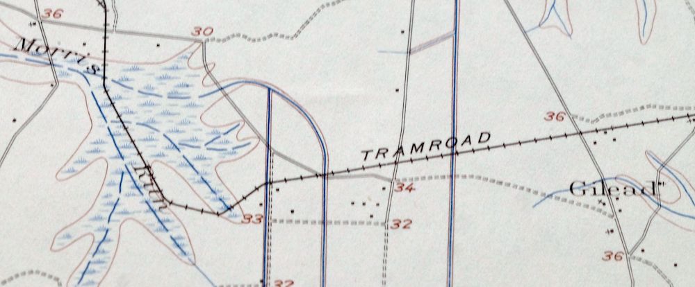
Vanceboro, North Carolina 1902 USGS Topo Map (1968 Print)
$35
- 20 miles southeast of Greenville.
- 15-minute series, 1902 edition, printed in 1968.
- Excellent condition, never folded.
In stock
This vintage sheet is a 1902 edition of the Vanceboro North Carolina USGS topographic map. It is an original 58-year-old 1968 United States Geological Survey print in excellent condition.
HOW THIS MAP CAN BE USED
In addition to making a fascinating conversation piece, this sheet would look great in a frame or on display, make a unique and prized gift for anyone interested in this area, be perfect as a reference for genealogy studies or general historical research, or fill that missing piece in your collection. Maps of this vintage are printed on durable stock and are well-suited for outdoor activities and recreation of all kinds, including hiking, backpacking, hunting, rafting and kayaking, backcountry skiing, geocaching, general exploration, treasure hunting, etc.
FEATURES SHOWN ON THE MAP
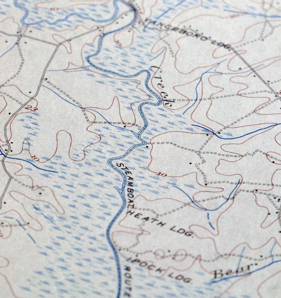
The Vanceboro 15-minute map shows cities and towns, roads, railroads, utilities and energy infrastructure, rivers, creeks, elevation contour lines, public land survey lines, county, state, and other administrative boundaries as they existed at the time of the survey in 1902. All known structures (houses, businesses, churches, schools, barns, cabins, etc) are also shown, with exceptions in some urban areas, where only landmark buildings may be shown.
A VALUABLE HISTORICAL RECORD
Maps from the 15-minute series for the continental United States are no longer produced or printed by the USGS and original prints are becoming increasingly difficult to find. They are a valuable historical record for an area, as they contain many placenames and features that have been dropped from more recent maps.
Nearby maps
-
Rocky Mount, North Carolina 1902 USGS Topo Map (1965 Print)
$36 Add to cart -
1920 USGS War Department Topo Map: White Plains, VA/NC (19..
$43 Add to cart -

Jarratt, Stony Creek, Virginia 1951 USGS Army COE Topo Map
$32 Add to cart -
Amelia, Virginia 1897 USGS Topo Map: Richmond
$92 Add to cart -
1893 USGS Topo Map: Farmville, Virginia (1914 Print)
$61 Add to cart -
Appomattox, Virginia 1892 USGS Topo Map (1912 Print)
$64 Add to cart -

1897 USGS Topo Map: Palmyra, Dillwyn, Virginia
$70 Add to cart -
Natural Bridge, Virginia/West Virginia 1894 USGS Topo Map
$55 Add to cart -
Staunton, VA/WV 1894 USGS Topo Map (1913 Print)
$109 Add to cart -

1894 USGS Topo Map: Mount Vernon, Virginia (1912 Print)
$230 Add to cart -
Patuxent, Washington DC, Maryland 1906 USGS Topo Map
$42 Add to cart -

1905 USGS Topo Map: Luray, Front Royal, Virginia (Strasburg)
$109 Add to cart -
Wytheville, Virginia/North Carolina 1892 USGS Topo Map
$77 Add to cart -
1896 USGS Topo Map: Franklin, WV/VA (1914 Print)
$52 Add to cart -

1908 USGS Topo Map: Patapsco, Baltimore, Maryland
$172 Add to cart -

Tolchester, Maryland 1908 USGS Topo Map: Chesapeake Bay
$172 Add to cart -

Winchester, VA/WV 1894 USGS Topo Map (1916 Print)
$82 Add to cart -
1906 USGS Topo Map: Dover, Delaware/Maryland
$61 Add to cart -

1901 USGS Topo Map: Raleigh, Mount Hope, West Virginia
$77 Add to cart -
Nicholas, Summersville, West Virginia 1901 USGS Topo Map
$62 Add to cart -
1891 USGS Topo Map: Romney, WV/MD (1909 Print)
$77 Add to cart -
Inman, South Carolina/North Carolina 1961 USGS Topo Map
$21 Add to cart -

Greer, South Carolina 1957 USGS Topo Map: Simpsonville
$27 Add to cart -

Dennisville, New Jersey 1894 USGS Topo Map: Cape May
$81 Add to cart