MAP DETAILS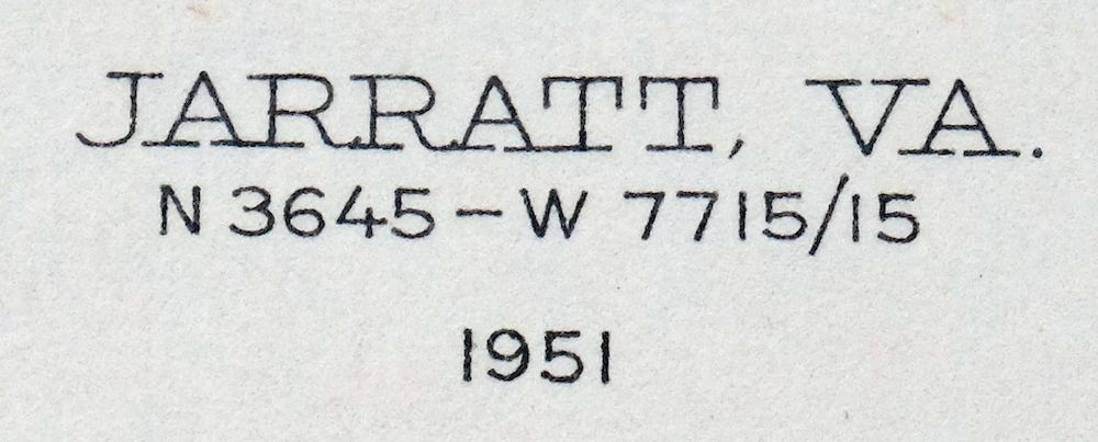 | |
|---|---|
| TITLE | Jarratt |
| STATE | Virginia |
| LOCATION | 15 miles northeast of Emporia |
| SERIES | 15-minute |
| SURVEYED | 1918 Aerial and Field Survey |
| EDITION | 1951 |
| REVISIONS | 1951 |
| PRINTED | 1951 |
| PRINT NOTES | Thick paper stock, includes woodland tint (green to indicate vegetated areas) |
| SCALE | 1:62500 |
| CONTOUR INTERVAL | 10 feet |
| SHEET DIMENSIONS | 16 1/2 x 20 inches (approximate) |
| MAP DIMENSIONS | 14 x 17 1/2 inches |
| COVERAGE AREA | 14 x 17 miles |
| SHEET CONDITION For maps of this vintage, effort is made to note all visible flaws, no matter how minor. | |
| OVERALL CONDITION | Excellent |
| SHEET NOTES | lightly handled, never folded |
| MAP AREA | flawless map area |
| COLLARS | no blemishes, handwritten two-letter notation in lower right collar corner, no edge tears, minor handling wear along bottom collar edge |
| MAP COVERAGE Quadrangle extent overlaid on current basemap. | |
| PLACENAMES Depending on map series and survey date, all of the features listed below may not be shown on this map. This list contains features that currently exist or historically existed within the area covered by the map. The list can be used as a reference to determine if this map covers your area of interest. Placenames are listed alphabetically next to each feature type. | |
| CITIES AND TOWNS (CURRENT) | Jarratt, Stony Creek, Sussex, and Yale |
| COUNTIES COVERED | Dinwiddie, Greensville, Prince George, Southampton, and Sussex |
| RIVERS AND STREAMS | Anderson Branch, Black Branch, Black Branch Swamp, Bolling Swamp, Browns Branch, Cabin Point Swamp, Chatman Branch, Chetocric Swamp, Flat Swamp, Gosee Swamp, Harris Swamp, Hickory Swamp, Hornet Swamp, Howie Branch, Hunting Quarter Swamp, Jones Hole Swamp, Lees Branch, Little Swamp, Mortar Branch, Nottoway River, Otterdam Swamp, Oven Branch, Poplar Swamp, Raccoon Creek, Rack Creek, Rocky Branch, Rowanty Creek, Sappony Creek, Snake Branch, South Fork Poplar Swamp, Southwest Swamp, Spring Creek, and Stony Creek |
| WATER BODIES | Magee Pond |
| Locations: Comans Well and Greensville Correctional Center. Administrative Boundaries: Courthouse Magisterial District, Henry Magisterial District, and Stony Creek Magisterial District. Parks: Sussex Count Courthouse Historic District. Drainages: Beaver Pond Swamp, Bolling Swamp, Black Branch, Black Branch Swamp, Cabin Point Swamp, Chetocric Swamp, Flat Swamp, Gosee Swamp, Harris Swamp, Hickory Swamp, High Hill Branch, Howie Branch, Island Swamp, Moores Swamp, Mortar Branch, Oven Branch, Rack Creek, Rocky Branch, Rowanty Creek, Sappony Creek, Snake Branch, South Fork Poplar Swamp, Southwest Swamp, Stony Creek, and Thweatt Branch. Churches: Bethlehem Church, Calvary Church, Centenary United Methodist Church, Center Star Church, Chapel Hill Church, First Baptist Church, Hasadiah Church, High Hill Church, Hunting Quarter Church, Jerusalem Church, Lebanon Church, Little Bethel Church, Morning Star Church, New Hope Church, Reidville Church, Rising Star Church, Russian Church, Saint Johns Church, Sappony Church, and Sharon Church. Buildings: Sussex County Courthouse. Dams: Creath Dam, Hargraves Dam, Harrells Dam, Horne Dam, Lewis Dam, Magee Dam, Morgans Dam, Rivers Dam, Rogers Dam, and Spiers Dam. Crossings: Interchange 17, Interchange 20, Interchange 24, Interchange 31, and Interchange 33. Bridges: Green Church Bridge and Smith Bridge. Swamps: Galley Swamp, Mush Pond Swamp, and Peaquarter Swamp. Schools: Central High School, Jefferson School, Jones School, Stony Creek High School, and Sussex Central Middle School. Reservoirs and Tanks: Bailys Pond, Creath Pond, Hargraves Millpond, Harrells Mill Pond, Harrells Pond, Horne Pond, Lewis Pond, Magee Pond, Morgans Pond, Rivers Pond, Rogers Pond, Spiers Pond, and Winfields Millpond. | |
| SHIPPING AND RETURNS | |
 This map sheet will be carefully rolled in a sturdy tube and shipped via the US Postal Service. If you find that the sheet you receive is not as described in the listing, you may ship it back to us for a refund of the purchase price. | |
Jarratt Virginia Stony Creek Yale USGS Topographic Map 1951
$38
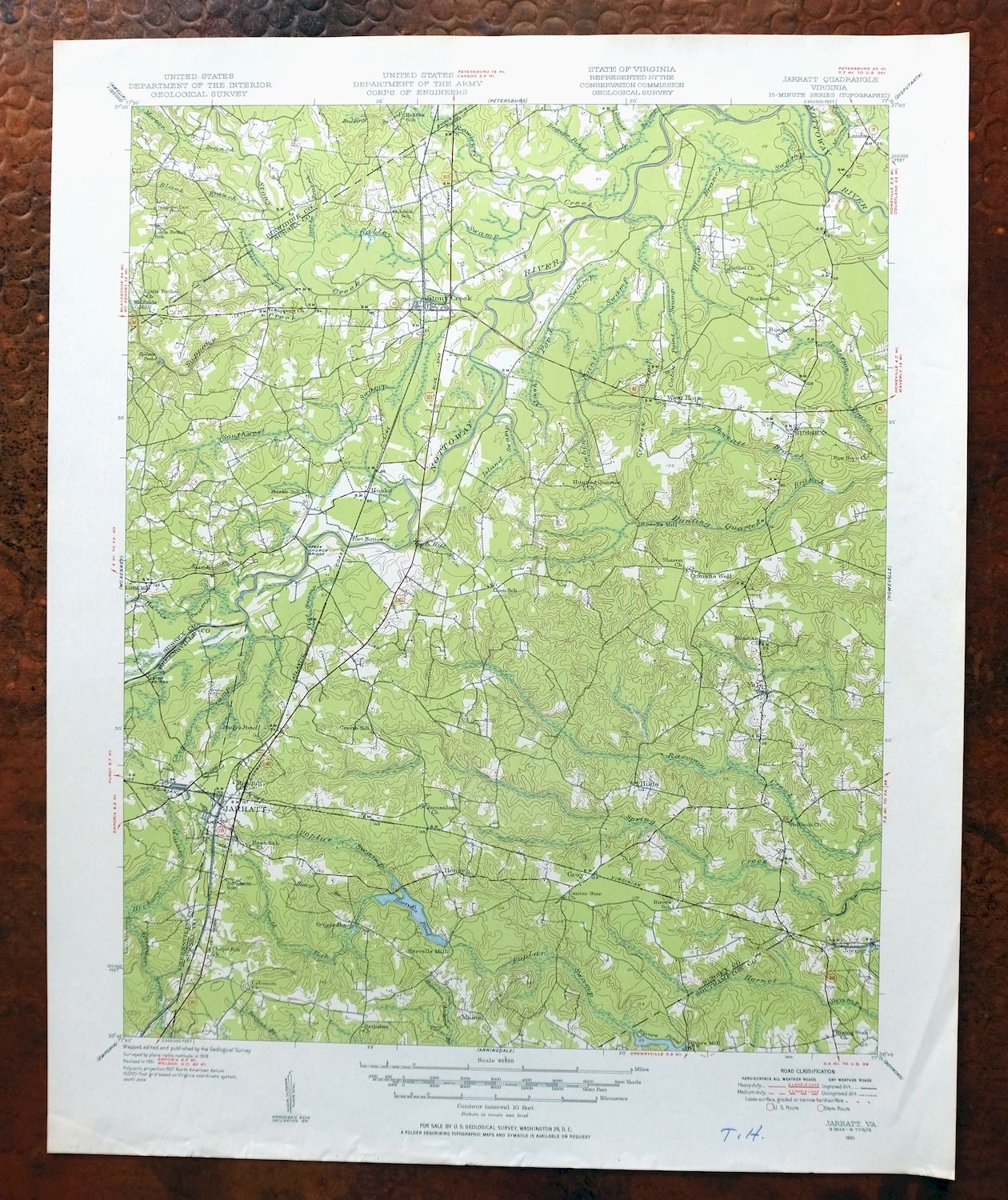
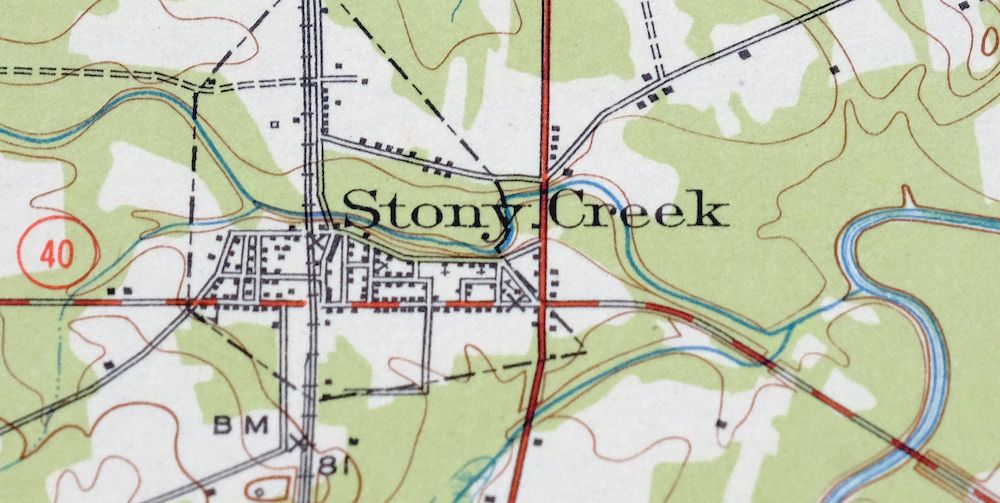
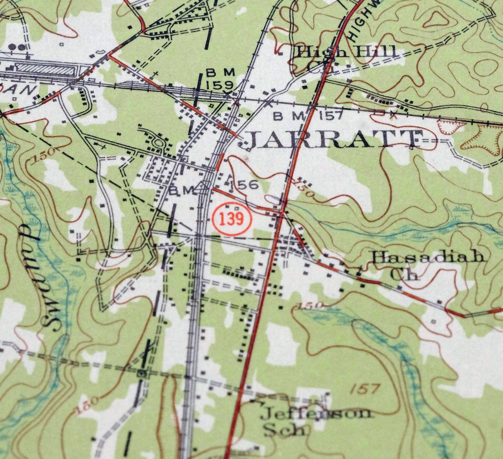
Printed in 1951 in its year of first publication, this USGS/Army Corps of Engineers 15-minute topographic sheet is in excellent condition, lightly handled and never folded, with a flawless map area and a small handwritten two-letter notation in the lower right collar corner. Based on a 1918 aerial and field survey, it takes in a stretch of southeastern Virginia about 15 miles northeast of Emporia, with the town of Jarratt and the communities of Stony Creek and Yale falling within the quad across parts of Sussex, Greensville, and neighboring counties. It comes on thick stock, and the never-folded sheet lies flat for framing.
In stock
This vintage sheet is a 1951 edition of the Jarratt Virginia USGS topographic map. It is an original 75-year-old United States Geological Survey print in excellent condition.
HOW THIS MAP CAN BE USED
In addition to making a fascinating conversation piece, this sheet would look great in a frame or on display, make a unique and prized gift for anyone interested in this area, be perfect as a reference for genealogy studies or general historical research, or fill that missing piece in your collection. Maps of this vintage are printed on durable stock and are well-suited for outdoor activities and recreation of all kinds, including hiking, backpacking, hunting, rafting and kayaking, backcountry skiing, geocaching, general exploration, treasure hunting, etc.
FEATURES SHOWN ON THE MAP
The Jarratt 15-minute map shows cities and towns, roads, railroads, utilities and energy infrastructure, rivers, creeks, elevation contour lines, public land survey lines, county, state, and other administrative boundaries as they existed at the time of the survey in 1918. All known structures (houses, businesses, churches, schools, barns, cabins, etc) are also shown.
A VALUABLE HISTORICAL RECORD
Maps from the 15-minute series for the continental United States are no longer produced or printed by the USGS and original prints are becoming increasingly difficult to find. They are a valuable historical record for an area, as they contain many placenames and features that have been dropped from more recent maps.
Nearby maps
-
White Plains Virginia Triplet Ebony USGS Topo Map 1944
$39 Add to cart -
Amelia Virginia Richmond Bon Air USGS Topo Map 1904 Antique
$120 Add to cart -
Farmville Virginia Blackstone Rice USGS Topographic Map 1914
$55 Add to cart -
Rocky Mount North Carolina Wilson Red Oak USGS Topo Map 1965
$48 Add to cart -

Palmyra Virginia Lake Monticello Dillwyn USGS Topo Map 1907
$75 Add to cart -
Appomattox Virginia Brookneal Toga USGS Topographic Map 1912
$55 Add to cart -
Vanceboro North Carolina Ernul USGS Topo Map 1968 Vintage
$45 Add to cart -

Mount Vernon Virginia Washington Accokeek USGS Topo Map 1912
$250 Add to cart -
Patuxent Maryland Washington Bowie USGS 30-Min Topo Map 1907
$65 Add to cart -

Luray Virginia Front Royal Stanley USGS Topographic Map 1910
$115 Add to cart -
Staunton Virginia Stuarts Draft USGS Topographic Map 1913
$120 Add to cart -

Natural Bridge Virginia Covington Selma USGS Topo Map 1911
$62 Add to cart -

Franklin West Virginia Petersburg Onego USGS Topo Map 1914
$49 Add to cart -

Patapsco Maryland Baltimore Jessup USGS Topographic Map 1908
$195 Add to cart -

Winchester Virginia Middletown Inwood USGS Topo Map 1916
$100 Add to cart -

Tolchester Maryland Dundalk Essex USGS Topo Map 1908 Antique
$145 Add to cart -

Romney West Virginia Keyser Delray USGS Topographic Map 1909
$115 Add to cart -
Dover Delaware Bombay Hook NWR Middletown USGS Topo Map 1906
$47 Add to cart -
Vineland New Jersey Dover Millville USGS Topo Map 1905
$115 Add to cart -

Dennisville New Jersey Villas Woodbine USGS Topo Map 1910
$90 Add to cart -

Chambersburg Pennsylvania Guilford USGS Topographic Map 1964
$40 Add to cart -

Nicholas West Virginia Summersville Cowen USGS Topo Map 1912
$54 Add to cart -

Needmore Pennsylvania Crystal Spring USGS Topo Map 1947
$44 Add to cart -

Clearville Pennsylvania USGS 15-Min Topo Map 1945 Vintage
$42 Add to cart
