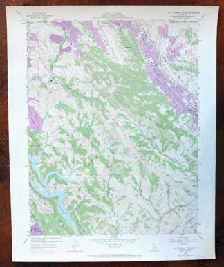
MAP DETAILS | |
|---|---|
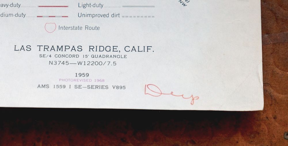
| TITLE | Las Trampas Ridge |
| STATE | California |
| LOCATION | Vicinity of Oakland, 20 miles east of San Francisco |
| SERIES | 7.5-minute |
| SURVEYED | 1958 and 1959 Aerial and Field Survey |
| EDITION | 1959 |
| REVISIONS | Photo revision in 1968 is shown in purple. |
| PRINTED | 1968 |
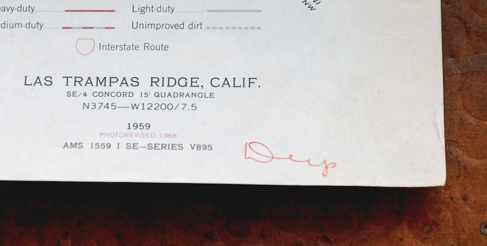
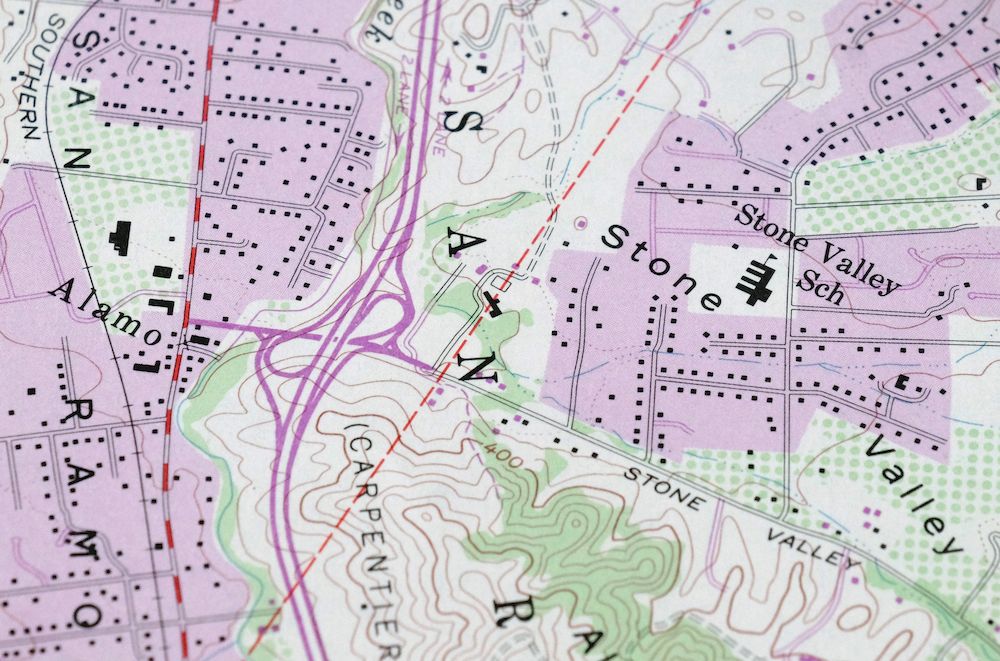
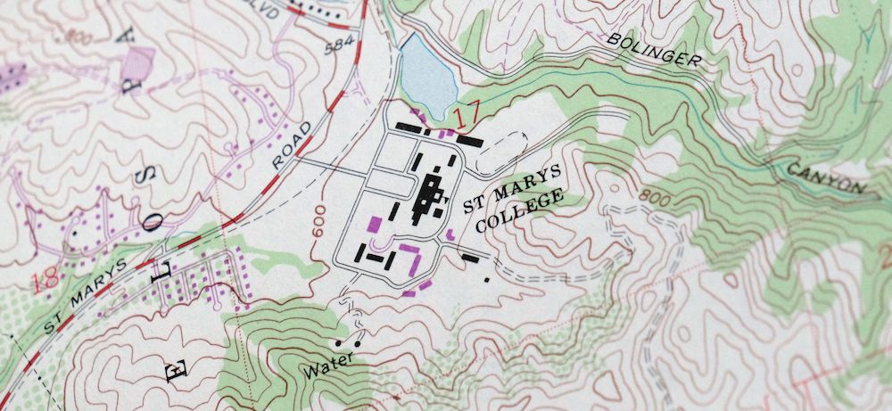
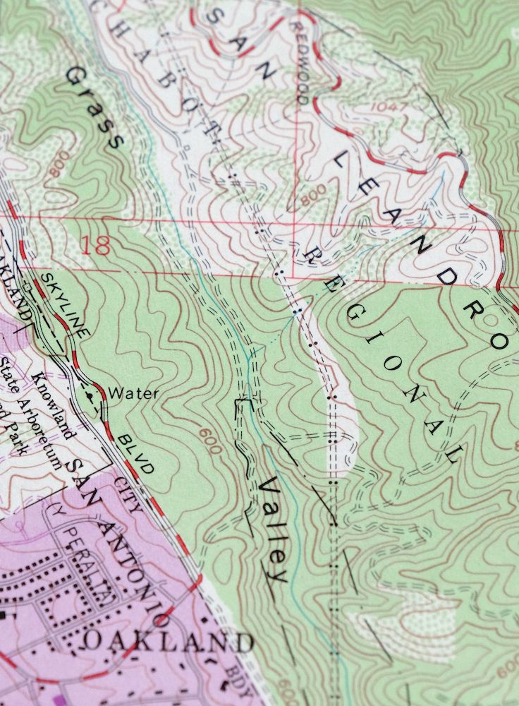
| PRINT NOTES | Thick paper stock, includes woodland tint (green to indicate vegetated areas). A reddish tint is used to indicate urban areas where only landmark buildings are shown. |
| SCALE | 1:24000 |
| CONTOUR INTERVAL | 40 feet |
| SHEET DIMENSIONS | 22 x 27 inches (approximate) |
| MAP DIMENSIONS | 18 x 22 3/4 inches |
| COVERAGE AREA | 7 x 9 miles |
| SHEET CONDITION For maps of this vintage, effort is made to note all visible flaws, no matter how minor. | |
| OVERALL CONDITION | Excellent |
| SHEET NOTES | lightly handled, never folded |
| MAP AREA | flawless map area |
| COLLARS | no wear or tears, no blemishes, minor penned notation in lower right collar corner |
  | |
| MAP COVERAGE Quadrangle extent overlaid on current basemap. | |
| PLACENAMES Depending on map series and survey date, all of the features listed below may not be shown on this map. This list contains features that currently exist or historically existed within the area covered by the map. The list can be used as a reference to determine if this map covers your area of interest. Placenames are listed alphabetically next to each feature type. | |
| CITIES AND TOWNS (CURRENT) | Alamo, Castro Valley, Danville, Lafayette, Moraga, Oakland, and Walnut Creek |
| COUNTIES COVERED | Alameda and Contra Costa |
| RIVERS AND STREAMS | Bolinas Creek, Bollinger Canyon Creek, Buckhorn Creek, Crow Creek, Cull Creek, Kaiser Creek, Las Trampas Creek, Miller Creek, Norris Creek, San Catanio Creek, San Leandro Creek, San Ramon Creek, and Tice Creek |
| WATER BODIES | Upper San Leandro Reservoir |
| Locations: Alamo Plaza Shopping Center, Rossmoor Walnut Creek Golf Course, Round Hill Country Club, and San Damiano Retreat. Administrative Boundaries: Laguna De Los Palos Colorados. Mountains, Peaks, and Summits: Castle Hill, Las Trampas Peak, and Ramage Peak. Valleys and Canyons: King Canyon, Miller Canyon, Riley Canyon, Stone Valley, and Tice Valley. Parks: Chabot Regional Park, Eugene O'Neil National Historic Site, Hacienda De Las Flores Park, La Vista Park, Moraga Commons Park, Rancho Laguna Park, and Sugarloaf Open Space. Drainages: Bolinas Creek, Buckhorn Creek, Grizzly Creek, Kaiser Creek, and Miller Creek. Buildings: Moraga Branch Contra Costa County Library. Dams: Danville 31-028 Dam, Moraga 31-022 Dam, and New Upper San Leandro 31-031 Dam. Airports: Little Hands Stolport. Schools: Alamo Elementary School, Burton School, Burton Valley Elementary School, Camino Pablo Elementary School, Del Amigo High School, Grass Valley Elementary School, Merriewood School, Montair School, Rancho Romero School, Saint Isodore School, Saint Marys College, San Ramon Valley High School, and Stone Valley School. Ridges: Alamo Ridge, Las Trampas Ridge, Riley Ridge, and Rocky Ridge. Reservoirs and Tanks: Upper San Leandro Reservoir. Towers: KSMC-FM (Moraga). | |
| SHIPPING AND RETURNS | |
 This map sheet will be carefully rolled in a sturdy tube and shipped via the US Postal Service. If you find that the sheet you receive is not as described in the listing, you may ship it back to us for a refund of the purchase price. | |
1968 USGS Topo Map: Las Trampas Ridge, Oakland, California
$44
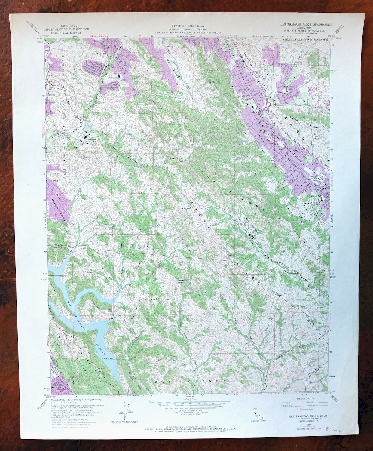
This 7.5-minute topographic map of the Las Trampas Ridge quadrangle covers a stretch of the East Bay hills about 20 miles east of San Francisco, first published as a 1959 edition and printed in 1968 with revisions from that year. The quad area spans parts of Alameda and Contra Costa counties, taking in Moraga and the hill country between Castro Valley, Lafayette, and Danville, with a woodland tint marking vegetated ground. The ridge itself anchors what is now the Las Trampas Regional Wilderness. Never folded, with a flawless map area and only a small penned note in the lower collar corner.
In stock
This vintage sheet is a 1959 edition of the Las Trampas Ridge California USGS topographic map revised in 1968 using aerial photography. It is an original 58-year-old 1968 United States Geological Survey print in excellent condition.
HOW THIS MAP CAN BE USED
In addition to making a fascinating conversation piece, this sheet would look great in a frame or on display, make a unique and prized gift for anyone interested in this area, be perfect as a reference for genealogy studies or general historical research, or fill that missing piece in your collection. Maps of this vintage are printed on durable stock and are well-suited for outdoor activities and recreation of all kinds, including hiking, backpacking, hunting, rafting and kayaking, backcountry skiing, geocaching, general exploration, treasure hunting, etc.
FEATURES SHOWN ON THE MAP
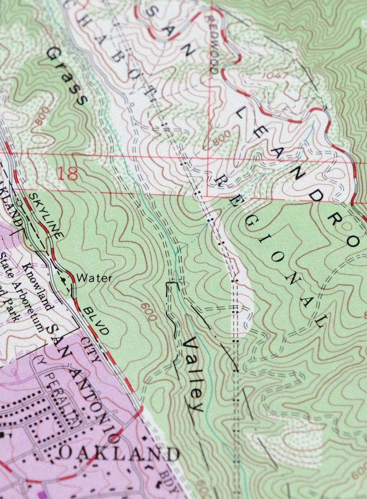
The Las Trampas Ridge 7.5-minute map shows cities and towns, roads, paths, railroads, utilities and energy infrastructure, rivers, creeks, elevation contour lines, public land survey lines, county, state, and other administrative boundaries as they existed at the time of the survey in 1958 and 1959. A reddish tint is used on this sheet to indicate urban areas where only landmark buildings are depicted. Outside of those areas, all known structures (houses, businesses, churches, schools, barns, cabins, etc) are shown.
A VALUABLE HISTORICAL RECORD
This map is from the 7.5-minute series, the most detailed series that is widely available from the USGS. The 1959 Las Trampas Ridge map is a valuable historical record for the area. It contains some placenames and features that have been dropped from more recent maps.
The map was photorevised in 1968. Any features that changed or were added between the original edition year of 1959 and the photorevision year of 1968 are overlayed in purple. The purple overlay provides an excellent view of the fast-growing and changing areas within the quad boundary.
Nearby maps
-
Hunters Point California Oakland USGS Topographic Map 1969
$38 Add to cart -

Newark California Fremont Hayward USGS Topo Map 1948 Vintage
$47 Add to cart -
Port Chicago California Concord Martinez USGS Topo Map 1956
$38 Add to cart -
1960 Port Chicago California USGS Topo Map: Mountain View
$46 Add to cart -

Redwood Point California Fremont Hayward USGS Topo Map 1948
$24 Add to cart -
1960 Redwood Point California USGS Topo Map
$40 Add to cart -
San Francisco South California USGS 7.5-Min Topo Map 1975
$47 Add to cart -
San Quentin California Richmond Tiburon USGS Topo Map 1980
$46 Add to cart -
1966 Milpitas California USGS Topo Map
$36 Add to cart -
Palo Alto California Redwood City Ladera USGS Topo Map 1969
$45 Add to cart -
Petaluma Point California Novato USGS Topographic Map 1951
$30 Add to cart -
Point Bonita California Sausalito USGS Topographic Map 1955
$44 Add to cart -

San Rafael California Mill Valley Tiburon USGS Topo Map 1966
$58 Add to cart -
Pittsburg California Concord Fairfield USGS Topo Map 1965
$38 Add to cart -
Mindego Hill California Palo Alto USGS Topo Map 1980 Vintage
$32 Add to cart -
Mount Vaca California Fairfield Vacaville USGS Topo Map 1967
$40 Add to cart -

Salida California Modesto Ripon USGS Topo Map 1915 Antique
$57 Add to cart -
1954 Salida California USGS Topo Map: Modesto
$46 Add to cart -

Cressey California Livingston Delhi USGS Topo Map 1948
$23 Add to cart -

Merced California Planada USGS 15-Min Topo Map 1963 Vintage
$18 Add to cart -
Lakeport California Lucerne Nice USGS Topo Map 1977 Vintage
$44 Add to cart -

Chowchilla California Le Grand El Nido USGS Topo Map 1962
$20 Add to cart -

Jawbone Ridge California Buck Meadows USGS Topo Map 1949
$27 Add to cart -
Gridley California Oroville Live Oak USGS Topo Map 1959
$37 Add to cart