MAP DETAILS | |
|---|---|
| TITLE | Romain |
| STATE | California |
| SURVEYED | 1913 Field Survey |
| GEOGRAPHER | R.B. Marshall |
| PRINT NOTES | Thick paper stock |
| SCALE | 1:31680 |
| CONTOUR INTERVAL | 5 feet |
| SHEET DIMENSIONS | 16 1/2 x 20 inches |
| MAP DIMENSIONS | 13 5/8 x 17 1/4 inches |
| COVERAGE AREA | 7 x 9 miles |
| SHEET CONDITION For maps of this vintage, effort is made to note all visible flaws, no matter how minor. | |
| SHEET NOTES | moderately handled, never folded, lightly age-toned paper, top collar edge reinforced on backside of sheet |
| MAP AREA | no wear, no markings, very minor blemishes |
| COLLARS | minor wear or tears, pencilled inventory notation in upper right collar, scattered light blemishes in collar |
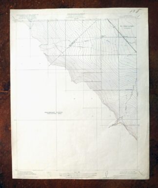
| MAP COVERAGE Quadrangle extent overlaid on current basemap. | |
| BACKSIDE LEGEND | |
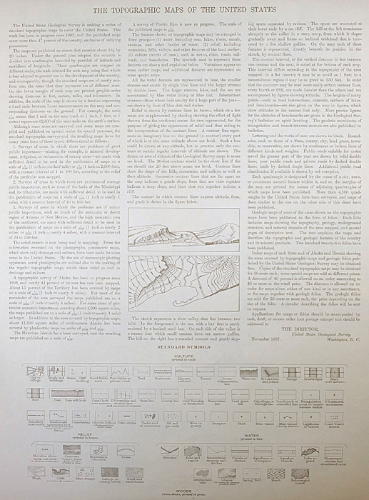 A map summary is printed on the back side of the Romain sheet similar to the one shown in the picture. It outlines the history, purpose, and status of the USGS mapping program at the time of the printing in 1922. It also provides instructions on how to read contour lines and a description of how they are used to depict the terrain. At the bottom of the page is a legend showing all of the symbols used to represent the cultural, relief, and water features found on the map. | |
| PLACENAMES Depending on map series and survey date, all of the features listed below may not be shown on this map. This list contains features that currently exist or historically existed within the area covered by the map. The list can be used as a reference to determine if this map covers your area of interest. Placenames are listed alphabetically next to each feature type. | |
| NOTABLE PLACES | Ingram Creek and Hospital Creek |
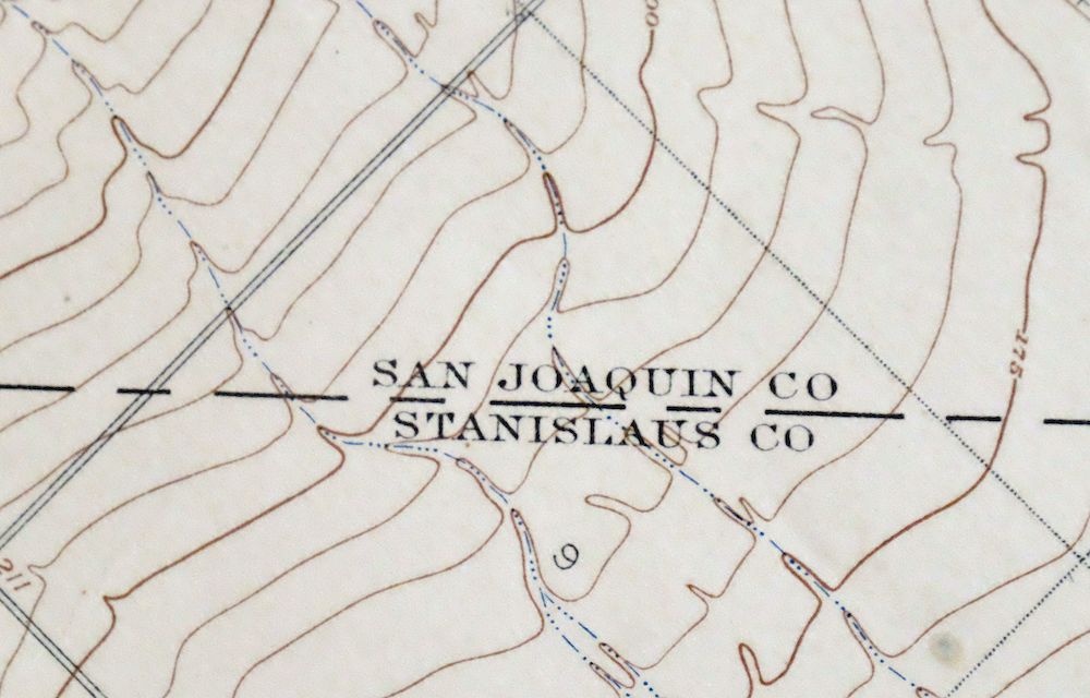
| COUNTIES COVERED | San Joaquin and Stanislaus |
| RIVERS AND STREAMS | Grummett Creek |
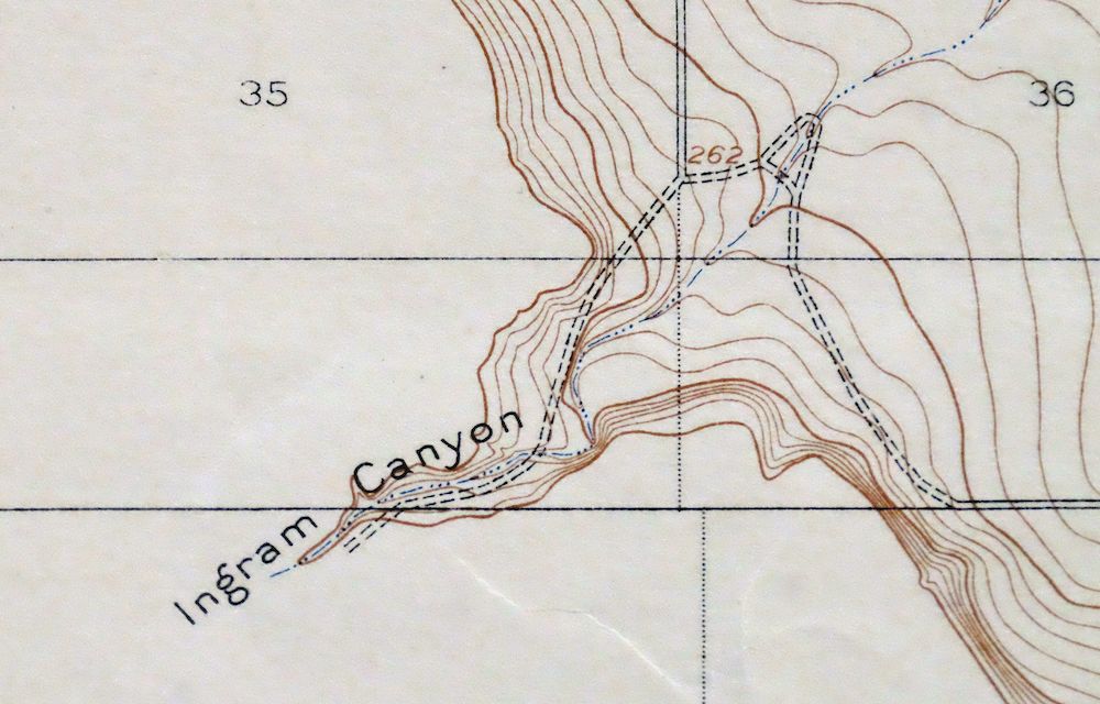
| Mountains, Peaks, and Summits: Mount Oso. Valleys and Canyons: Cedar Spring Gulch, Ingram Canyon, Rocky Ford Canyon, and Spring Gulch. Drainages: Arkansas Creek, Grummett Creek, and Martin Creek. Canals: Lateral Five North, Lateral Four North, and Lateral Six North. Schools: Rising Sun Elementary School. Flats: Chicken Flat. Towers: KBEE-FM (Modesto) and KOSO-FM (Patterson). | |
| SHIPPING AND RETURNS | |
 Ships carefully rolled in a sturdy 2" x 18" mailing tube. Shipping and return details are in our terms. | |
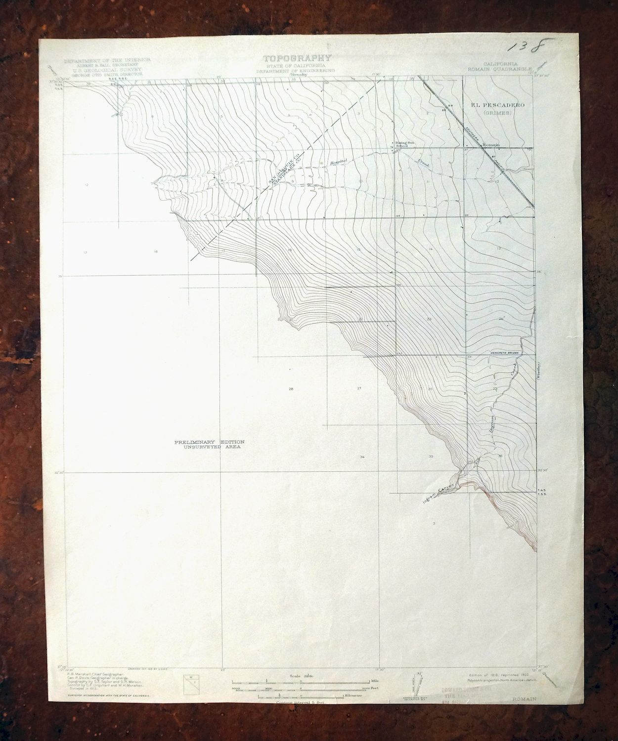
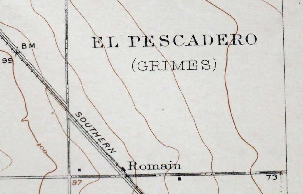
Romain, Ingram Creek, California 1916 USGS Topo Map
$21
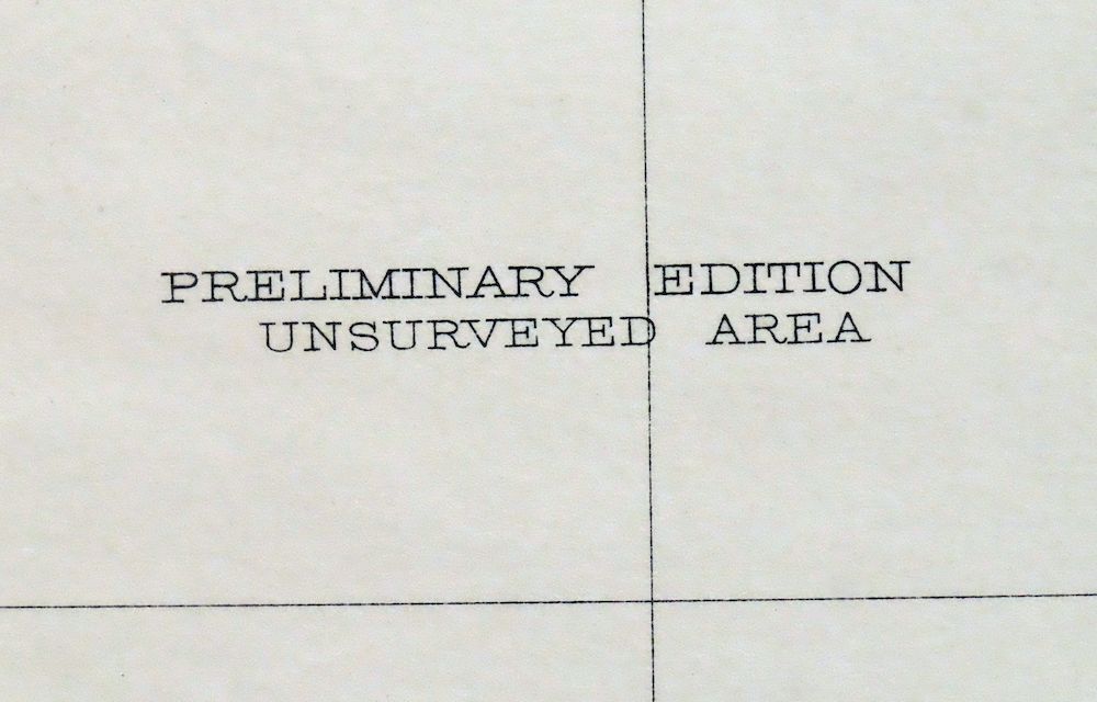
A fascinating historical snapshot surveyed before the modern road system, showing rail lines, placenames, and all known structures at the time; the southwestern half of the map is not surveyed.
- 36 miles northeast of San Jose.
- 7.5-minute series, 1916 edition, printed in 1922.
- Good condition, never folded.
In stock
This antique sheet is a 1916 edition of the Romain California USGS topographic map. It is an authentic 104-year-old 1922 United States Geological Survey print in good condition.
HOW THIS MAP CAN BE USED
In addition to making a fascinating conversation piece, this sheet would look great in a frame or on display, make a unique and prized gift for anyone interested in this area, be perfect as a reference for genealogy studies or general historical research, or fill that missing piece in your collection.
FEATURES SHOWN ON THE MAP
The Romain 7.5-minute map shows cities and towns, roads, paths, railroads, rivers, creeks, elevation contour lines, public land survey lines, county, state, and other administrative boundaries as they existed at the time of the survey in 1913. All known structures (houses, businesses, churches, schools, barns, cabins, etc) are also shown, with exceptions in some urban areas, where only landmark buildings may be shown.
A VALUABLE HISTORICAL RECORD
This map is from the 7.5-minute series, the most detailed series that is widely available from the USGS. The 1916 Romain map is a valuable historical record for the area. It contains some placenames and features that have been dropped from more recent maps.
Nearby maps
-

Salida, Modesto, California 1915 USGS Topo Map (Ripon)
$52 Add to cart -
Salida, Modesto, California 1953 USGS Topo Map
$45 Add to cart -

1948 USGS Topo Map: Cressey, Livingston, California
$21 Add to cart -
Milpitas, California 1961 USGS Topo Map
$35 Add to cart -

1948 USGS Topo Map: Newark, California
$43 Add to cart -
Las Trampas Ridge, California 1959 USGS Topo Map: Oakland
$43 Add to cart -

Redwood Point, California 1948 USGS Topo Map
$22 Add to cart -
Redwood Point, California 1959 USGS Topo Map
$39 Add to cart -
Palo Alto, California 1961 USGS Topo Map
$52 Add to cart -
Pittsburg, Concord, California 1953 USGS Topo Map
$33 Add to cart -
1961 USGS Topo Map: Mindego Hill, California (1980 Print)
$31 Add to cart -

Merced, California 1962 USGS Topo Map: Planada
$14 Add to cart -
Port Chicago, Mountain View, California 1951 USGS Topo Map
$37 Add to cart -
Port Chicago, Mountain View, California 1959 USGS Topo Map
$45 Add to cart -
1956 USGS Topo Map: Hunters Point, California
$37 Add to cart -

Chowchilla, El Nido, California 1960 USGS Topo Map
$16 Add to cart -
San Francisco South, CA 1956 USGS Topo Map (1975 Print)
$45 Add to cart -
San Quentin, California 1959 USGS Topo Map (1980 Print)
$42 Add to cart -
Kentucky Well, California 1948 USGS Topo Map
$31 Add to cart -

Jawbone Ridge, California 1949 USGS Topo Map: Buck Meadows
$26 Add to cart -
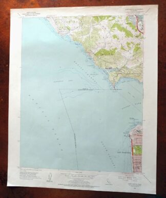
1954 USGS Topo Map: Point Bonita, San Francisco, California
$51 Add to cart -

1947 USGS Topo Map: Firebaugh, Mendota, California (Cromir)
$16 Add to cart -
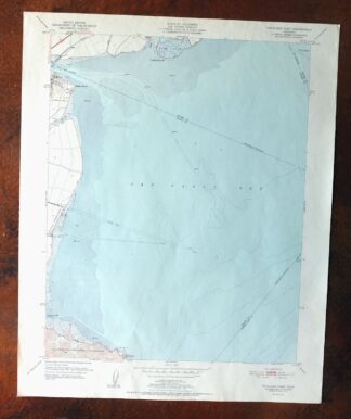
1951 USGS Topo Map: Petaluma Point, California
$29 Add to cart -
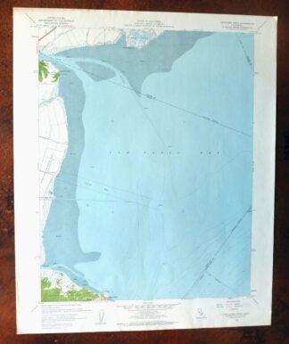
1959 USGS Topo Map: Petaluma Point, California
$21 Add to cart