MAP DETAILS | |
|---|---|
| TITLE | Mindego Hill |
| STATE | California |
| LOCATION | Vicinity of Palo Alto, 16 miles west of San Jose |
| SERIES | 7.5-minute |
| EDITION | 1961 |
| REVISIONS | Photo revision in 1980 is shown in purple. |
| PRINTED | 1980 |
| PRINT NOTES | Thick paper stock, includes woodland tint (green to indicate vegetated areas) |
| SCALE | 1:24000 |
| SHEET DIMENSIONS | 22 x 27 inches |
| MAP DIMENSIONS | 18 1/8 x 22 3/4 inches |
| COVERAGE AREA | 7 x 9 miles |
| SHEET CONDITION For maps of this vintage, effort is made to note all visible flaws, no matter how minor. | |
| OVERALL CONDITION | Very Good |
| SHEET NOTES | lightly handled, midsheet horizontal foldline (in half), title notation pencilled on backside of sheet |
| MAP AREA | no markings, no blemishes |
| COLLARS | no wear or tears, no markings, no blemishes |
| MAP COVERAGE Quadrangle extent overlaid on current basemap. | |
| PLACENAMES Depending on map series and survey date, all of the features listed below may not be shown on this map. This list contains features that currently exist or historically existed within the area covered by the map. The list can be used as a reference to determine if this map covers your area of interest. Placenames are listed alphabetically next to each feature type. | |
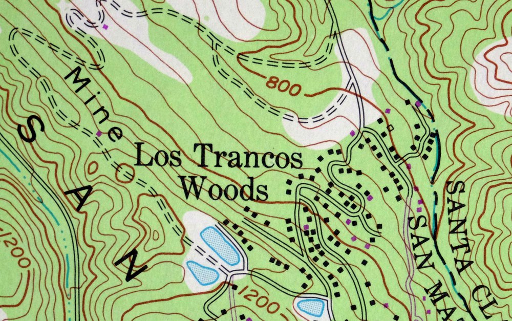
| CITIES AND TOWNS (CURRENT) | Los Altos Hills, Los Trancos Woods, Palo Alto, and Portola Valley |
| COUNTIES COVERED | San Mateo, Santa Clara, and Santa Cruz |
| RIVERS AND STREAMS | Adobe Creek, Alpine Creek, Arastradero Creek, Barron Creek, Bear Creek, Coal Creek, Corte Madera Creek, Damiani Creek, Deer Creek, Evans Creek, Lambert Creek, Langley Creek, Los Trancos Creek, Matadero Creek, Mindego Creek, Oil Creek, Permanente Creek, Pescadero Creek, Peters Creek, Purisima Creek, Rhododendron Creek, San Lorenzo River, Slate Creek, Stevens Creek, Tarwater Creek, West Fork Adobe Creek, Woodhams Creek, and Woodruff Creek |
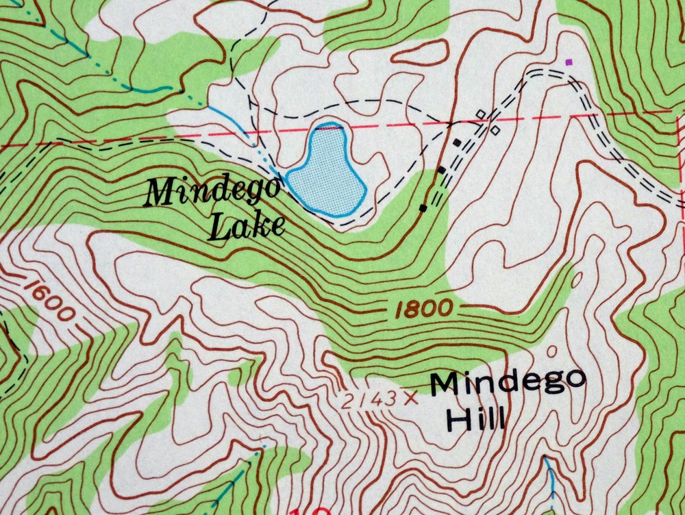
| WATER BODIES | Mindego Lake |
| Populated Place: Los Trancos Woods and Vista Verde. Locations: Big Dipper Ranch, Camp Pomponio, Horseshoe Ranch, Page Mill, Pony Tracks Ranch, Rancho Corte Madera, Saratoga Summit Ranger Station, Shotgun Bend, Skyline Ranch, Foothills Park Nature Interpretive Center, Hillside Group Camp, Huckleberry Picnic Area, Madrone Picnic Area, Palo Alto Hills Golf and Country Club, Point Group Camp, Ravine Group Camp, Slate Creek Trail Camp, Tanoak Picnic Area, and Tarwater Trail Camp. Administrative Boundaries: El Corte de Madera, La Purisima Concepcion, Town of Los Altos Hills, and Town of Portola Valley. Mountains, Peaks, and Summits: Borel Hill, Ewing Hill, Mindego Hill, Mount Melville, Table Mountain, Windy Hill, Black Mountain, Elephant Mountain, Kelly Hill, and Langley Hill. Valleys and Canyons: Bozzo Gulch, Devils Canyon, Hamms Gulch, Jones Gulch, Rengstorff Gulch, Rodgers Gulch, and Deep Gulch. Parks: Foothills Park, Portola Redwoods State Park, Coal Creek Open Space, Foothills Open Space Preserve, Frog Pond Park, Heritage Grove Redwood Preserve, Los Trancas Open Space Preserve, Monte Bello Open Space Preserve, Russian Ridge Open Space Preserve, Skyline Ridge Open Space Preserve, and Windy Hill Open Space. Trails: Coyote Ridge Trail, Pomponio Trail, Summit Trail, Trappers Trail, Bear Creek Trail, Old Tree Trail, Peters Creek Loop Trail, Sequoia Nature Trail, Tarwater Trail Loop, and Upper Coyote Ridge Trail. Drainages: Bay Creek, Bear Creek, Coal Creek, Damiani Creek, Evans Creek, Gold Mine Creek, Indian Cabin Creek, Indian Creek, Lambert Creek, Peters Creek, Rhododendron Creek, Tarwater Creek, West Fork Adobe Creek, Shingle Mill Creek, and Moody Creek. Mines: Langley Hill Quarry. Lakes and Ponds: Knuedler Lake and Mindego Lake. Buildings: Mount Helen Childrens Home, Portola State Park Office and Visitors Center, San Mateo County Jail, Santa Clara County Fire Department El Monte Fire Station, and Woodside Fire Protection District Station 8. Dams: Foothill Park 1036 Dam and Rickey 1603 Dam. Bends: Crockers Curve. Schools: Corte Madera Elementary School, Foothill College, and Purissima School. Ridges: Coal Mine Ridge, Doherty Ridge, Long Ridge, Monte Bello Ridge, Russian Ridge, and Spring Ridge. Reservoirs and Tanks: Borondo Lake. Towers: KFJC-FM (Los Altos). | |
| SHIPPING AND RETURNS | |
 This map sheet will be carefully rolled in a sturdy tube and shipped via the US Postal Service. If you find that the sheet you receive is not as described in the listing, you may ship it back to us for a refund of the purchase price. | |
Mindego Hill California Palo Alto USGS Topo Map 1980 Vintage
$32
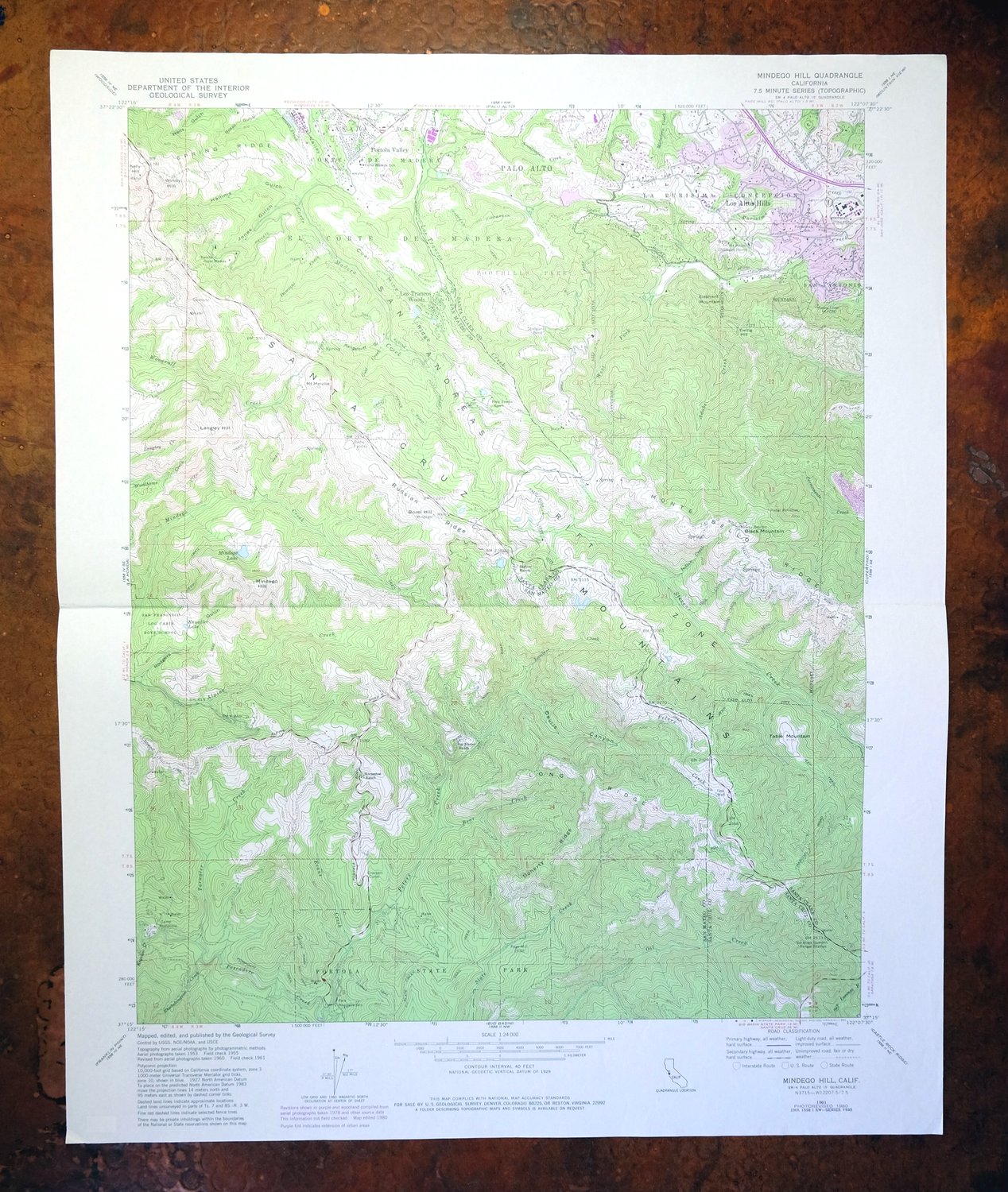
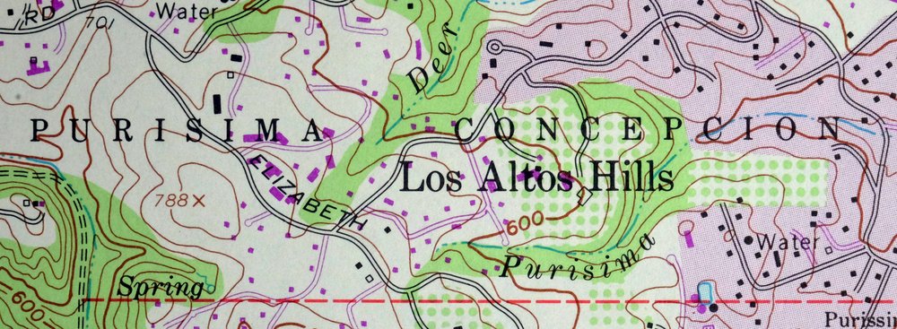
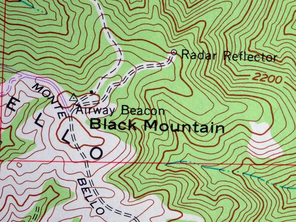
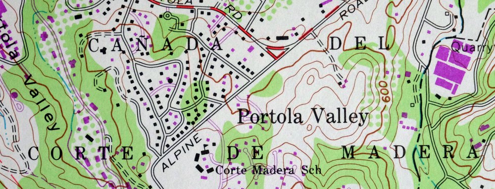
This USGS 7.5-minute topographic map is a 1961 edition carrying photorevisions through 1980, printed in 1980 on thick stock and in very good condition, lightly handled with a single horizontal foldline across the middle. Set in the Santa Cruz Mountains west of Palo Alto, the quad spans parts of San Mateo, Santa Clara, and Santa Cruz counties and takes in Portola Valley, Los Altos Hills, and Los Trancos Woods, with Mindego Hill itself the feature the sheet is named for. The 1980 updates record this stretch of wooded ridge country as it stood at the close of that decade, a detailed look at the terrain rising between the Peninsula and the coast.
In stock
This vintage sheet is a 1961 edition of the Mindego Hill California USGS topographic map revised in 1980 using aerial photography. It is an original 46-year-old 1980 United States Geological Survey print in very good condition.
HOW THIS MAP CAN BE USED
In addition to making a fascinating conversation piece, this sheet would look great in a frame or on display, make a unique and prized gift for anyone interested in this area, be perfect as a reference for genealogy studies or general historical research, or fill that missing piece in your collection. Maps of this vintage are printed on durable stock and are well-suited for outdoor activities and recreation of all kinds, including hiking, backpacking, hunting, rafting and kayaking, backcountry skiing, geocaching, general exploration, treasure hunting, etc.
FEATURES SHOWN ON THE MAP
The Mindego Hill 7.5-minute map shows cities and towns, roads, paths, railroads, utilities and energy infrastructure, rivers, creeks, elevation contour lines, public land survey lines, county, state, and other administrative boundaries as they existed at the time of the survey. All known structures (houses, businesses, churches, schools, barns, cabins, etc) are also shown.
A VALUABLE HISTORICAL RECORD
This map is from the 7.5-minute series, the most detailed series that is widely available from the USGS. The 1961 Mindego Hill map is a valuable historical record for the area. It contains some placenames and features that have been dropped from more recent maps.
The map was photorevised in 1980. Any features that changed or were added between the original edition year of 1961 and the photorevision year of 1980 are overlayed in purple. The purple overlay provides an excellent view of the fast-growing and changing areas within the quad boundary.
Nearby maps
-
Palo Alto California Redwood City Ladera USGS Topo Map 1969
$45 Add to cart -

Redwood Point California Fremont Hayward USGS Topo Map 1948
$24 Add to cart -

Newark California Fremont Hayward USGS Topo Map 1948 Vintage
$47 Add to cart -
Hunters Point California Oakland USGS Topographic Map 1969
$38 Add to cart -
San Francisco South California USGS 7.5-Min Topo Map 1975
$47 Add to cart -
Point Bonita California Sausalito USGS Topographic Map 1955
$44 Add to cart -
San Quentin California Richmond Tiburon USGS Topo Map 1980
$46 Add to cart -

San Rafael California Mill Valley Tiburon USGS Topo Map 1966
$60 Add to cart -
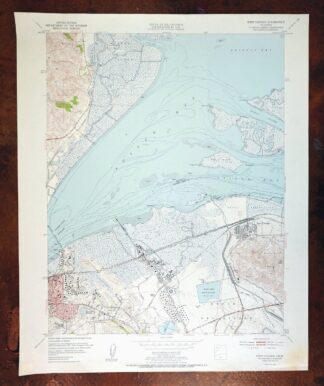
Port Chicago California Concord Martinez USGS Topo Map 1956
$38 Add to cart -
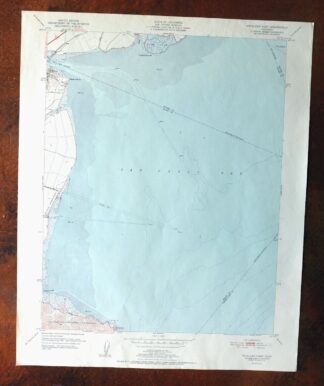
Petaluma Point California Novato USGS Topographic Map 1951
$30 Add to cart -
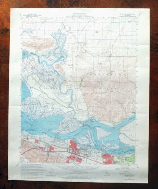
Pittsburg California Concord Fairfield USGS Topo Map 1965
$38 Add to cart -
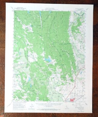
Mount Vaca California Fairfield Vacaville USGS Topo Map 1967
$40 Add to cart -

Cressey California Livingston Delhi USGS Topo Map 1948
$23 Add to cart -
Greenfield California Salinas River USGS Topo Map 1973
$30 Add to cart -

Merced California Planada USGS 15-Min Topo Map 1963 Vintage
$18 Add to cart -

Chowchilla California Le Grand El Nido USGS Topo Map 1962
$20 Add to cart -

Firebaugh California Mendota USGS Topo Map 1947 Vintage
$18 Add to cart -
Kentucky Well California USGS 7.5-Min Topo Map 1948 Vintage
$32 Add to cart -
San Ardo California Salinas River USGS Topographic Map 1943
$58 Add to cart -

Le Grand California Madera Chowchilla USGS Topo Map 1963
$14 Add to cart -
Englebrecht Ranch California Cantua Creek USGS Topo Map 1947
$17 Add to cart -

Raynor Creek California Chowchilla River USGS Topo Map 1947
$30 Add to cart -
Jamesan California Tranquillity USGS Topo Map 1924 Antique
$16 Add to cart -
Kismet California Madera USGS 7.5-Min Topo Map 1948 Vintage
$32 Add to cart