MAP DETAILS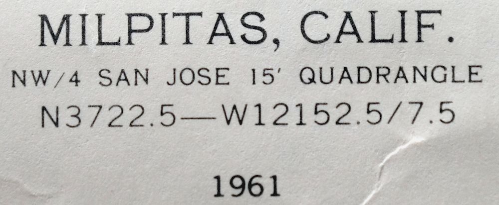 | |
|---|---|
| TITLE | Milpitas |
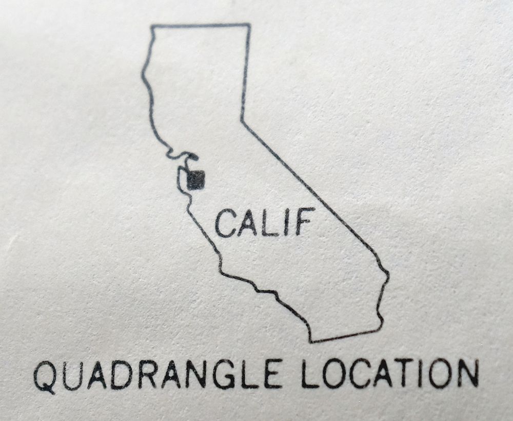
| STATE | California |
| LOCATION | Vicinity of San Jose |
| SERIES | 7.5-minute |
| SURVEYED | 1948 through 1961 Aerial and Field Survey |
| EDITION | 1961 |
| PRINTED | 1966 |
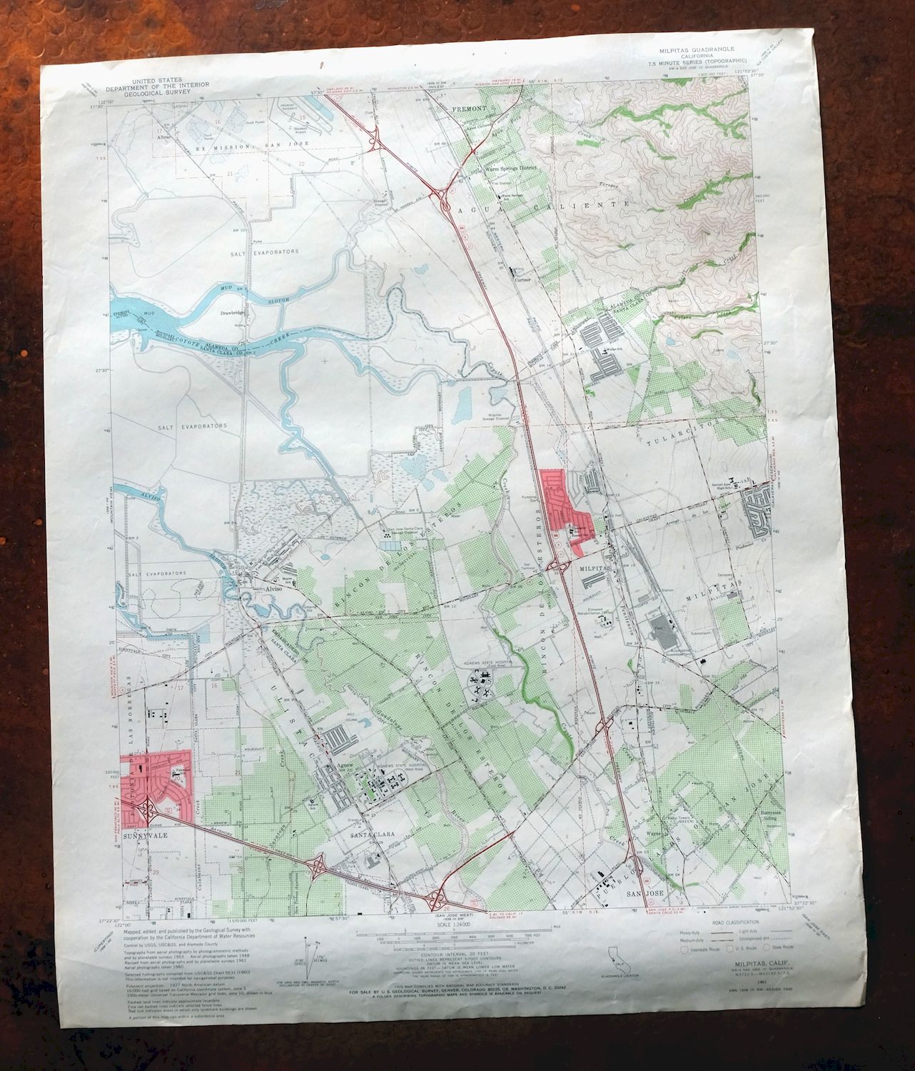
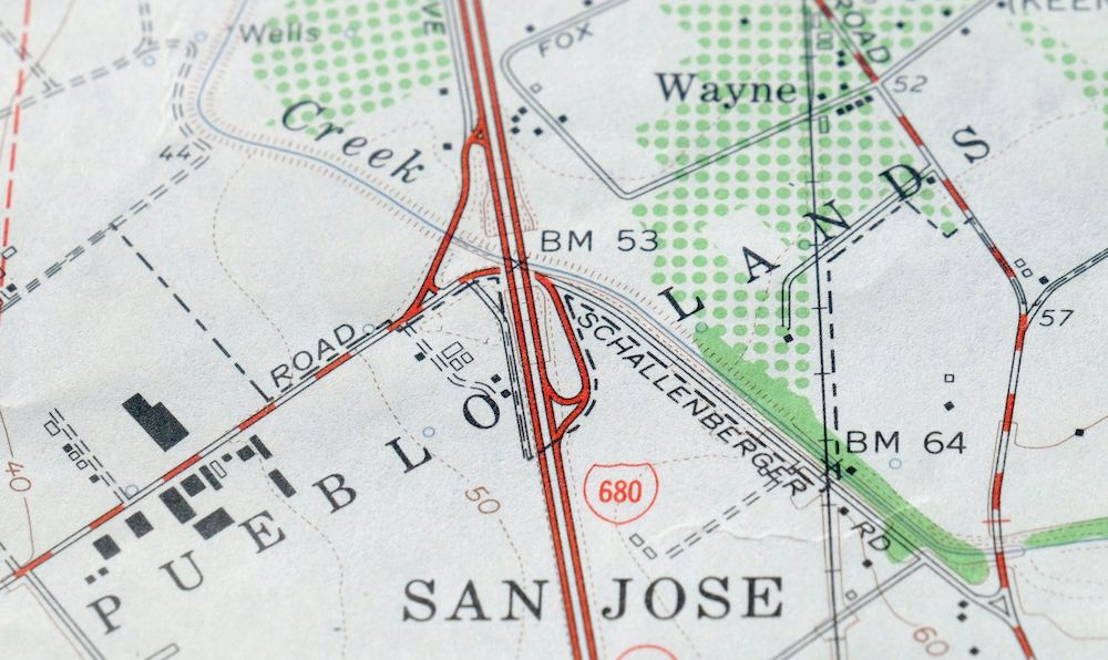
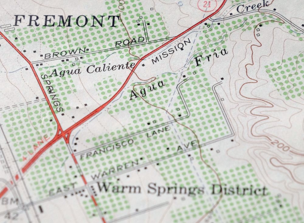
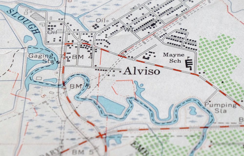
| PRINT NOTES | Thick paper stock, includes woodland tint (green to indicate vegetated areas). A reddish tint is used to indicate urban areas where only landmark buildings are shown. |
| SCALE | 1:24000 |
| CONTOUR INTERVAL | 20 feet |
| SHEET DIMENSIONS | 22 x 27 inches |
| MAP DIMENSIONS | 18 1/8 x 22 3/4 inches |
| COVERAGE AREA | 7 x 9 miles |
| SHEET CONDITION For maps of this vintage, effort is made to note all visible flaws, no matter how minor. | |
| OVERALL CONDITION | Good |
| SHEET NOTES | moderately handled, never folded |
| MAP AREA | no wear, no markings, no blemishes |
| COLLARS | minor wear or tears, no markings, minor blemishes |
| MAP COVERAGE Quadrangle extent overlaid on current basemap. | |
| PLACENAMES Depending on map series and survey date, all of the features listed below may not be shown on this map. This list contains features that currently exist or historically existed within the area covered by the map. The list can be used as a reference to determine if this map covers your area of interest. Placenames are listed alphabetically next to each feature type. | |
| CITIES AND TOWNS (CURRENT) | Fremont, Milpitas, Newark, San Jose, Santa Clara, and Sunnyvale |
| COUNTIES COVERED | Alameda and Santa Clara |
| FEDERAL LAND UNITS | Don Edwards San Francisco Bay National Wildlife Refuge |
| RIVERS AND STREAMS | Agua Caliente Creek, Agua Fria Creek, Arroyo De Los Coches, Berryessa Creek, Calabazas Creek, Calera Creek, Coyote Creek, Guadalupe River, Guadalupe Slough, Penitencia Creek, and Saratoga Creek |
| Locations: Abel Square Shopping Center, Beresford Square Shopping Center, Berryessa Siding, Calaveras Plaza Shopping Center, Fairway Glen Shopping Center, Fiesta Shopping Center, Fremont Raceways, Mercado Real Shopping Center, Milpitas Sewage Disposal, Milpitas Shopping Center, Northwood Park Shopping Center, Northwood Plaza Shopping Center, Park Victoria Shopping Center, San Jose Municipal Golf Course, San Jose Santa Clara Sewage Disposal, Santa Clara Municipal Golf Course, Serra Shopping Center, Sunny Hills Golf Center, Sunnyhills Golf Course, Sunnyhills Shopping Center, Town Center Shopping Center, Tularcitos Golf and Country Club, and Warm Springs Plaza Shopping Center. Administrative Boundaries: Agua Caliente, Embarcadero de Santa Clara, Rincon De Los Esteros, Tularcitos, and Ulistac. Valleys and Canyons: Scott Ravine. Parks: Agnew Park, Alviso Park, Booster Park, Coyote Park, Great America Theme Park, Hall Memorial Park, Higuera Adobe Park, Lone Tree Creek Park, Montague Park, Murphy Park, Sandlewood Park, Selwyn Park, Starlite Park, Strickroth Park, Sunnyhills Park, Sunnyvale Baylands Park, and Warm Springs Park. Drainages: Agua Caliente Creek, Agua Fria Creek, Berryessa Creek, Calabazas Creek, Calera Creek, Arroyo De Los Coches, Guadalupe River, Lower Penitencia Creek, Penitencia Creek, Piedmont Creek, San Tomas Aquinas Creek, Saratoga Creek, Scott Creek, Toroges Creek, and Tularcitos Creek. Churches: Christian Wisdom In USA Church, Divine Love Christian Fellowship Church, North Valley Baptist Church, North Valley Christian Church, Our Lady of Peace Catholic Church, Our Lady of Peace Shrine, Santa Teresa Catholic Church, Star of the Sea Church, and Valley Faith United Methodist Church. Hospitals: Agnews State Hospital and Elmwood Rehabilitation Center. Buildings: Alviso Branch San Jose Public Library, Milpitas Civic Center, Milpitas Community Center, Milpitas Community Library, and Santa Clara Convention Center. Dams: Higuera 629 Dam. Bayous and Sloughs: Mud Slough. Airports: McCandless Towers Heliport. Schools: Agnew School, Anthony Spangler Elementary School, Brooktree Elementary School, Curtner Elementary School, Fairwood School, George Mayne Elementary School, James Leitch Elementary School, Joseph Weller Elementary School, Kathryn Hughes Elementary School, Marshall Pomeroy Elementary School, Milpitas High School, Montague Elementary School, Murphy School, Northwood Elementary School, Pearl Zanker Elementary School, Robert Randall Elementary School, Samuel Ayer High School, Thomas Russell Middle School, University of California Santa Clara Extension Facility at Tech Mart, Warm Springs Elementary School, West Valley College Mission Campus, and William Burnet Elementary School. Towers: KEEN-AM (San Jose) and KNTA-AM (Santa Clara). | |
| SHIPPING AND RETURNS | |
 This map sheet will be carefully rolled in a sturdy tube and shipped via the US Postal Service. If you find that the sheet you receive is not as described in the listing, you may ship it back to us for a refund of the purchase price. | |
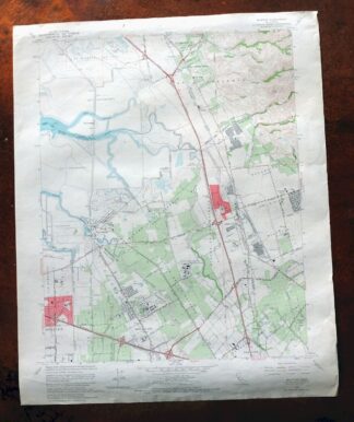
1966 Milpitas California USGS Topo Map
$36
This is a 1961 edition of the Milpitas quadrangle, a 7.5-minute USGS topographic map at 1:24000 scale, printed in 1966 on thick stock with a green woodland tint marking vegetated ground. It covers the northern edge of San Jose and the city of Milpitas along the southeastern shore of San Francisco Bay, taking in parts of Santa Clara and Alameda counties and portions of what is now the Don Edwards San Francisco Bay National Wildlife Refuge. The sheet dates from the years when the southern Bay was filling with orchards giving way to subdivisions, before Silicon Valley took shape here. In good condition and never folded, it would frame well.
In stock
This vintage sheet is a 1961 edition of the Milpitas California USGS topographic map. It is an original 60-year-old 1966 United States Geological Survey print in good condition.
HOW THIS MAP CAN BE USED
In addition to making a fascinating conversation piece, this sheet would look great in a frame or on display, make a unique and prized gift for anyone interested in this area, be perfect as a reference for genealogy studies or general historical research, or fill that missing piece in your collection. Maps of this vintage are printed on durable stock and are well-suited for outdoor activities and recreation of all kinds, including hiking, backpacking, hunting, rafting and kayaking, backcountry skiing, geocaching, general exploration, treasure hunting, etc.
FEATURES SHOWN ON THE MAP
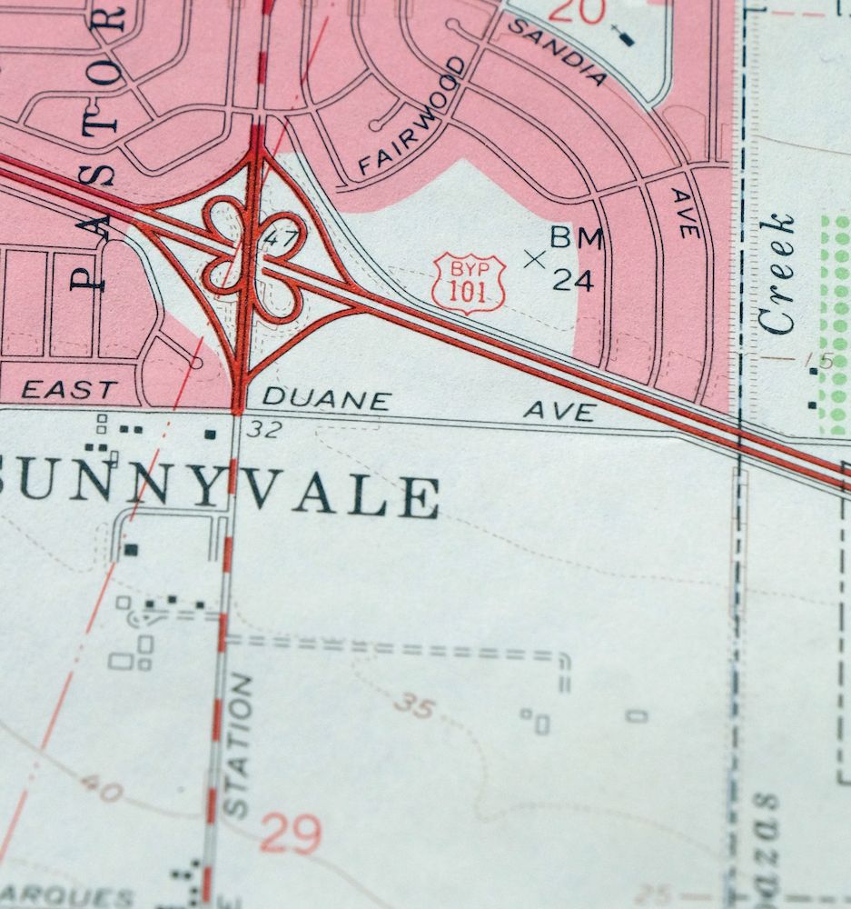
The Milpitas 7.5-minute map shows cities and towns, roads, paths, railroads, utilities and energy infrastructure, rivers, creeks, elevation contour lines, public land survey lines, county, state, and other administrative boundaries as they existed at the time of the survey in 1948 through 1961. A reddish tint is used on this sheet to indicate urban areas where only landmark buildings are depicted. Outside of those areas, all known structures (houses, businesses, churches, schools, barns, cabins, etc) are shown.
A VALUABLE HISTORICAL RECORD
This map is from the 7.5-minute series, the most detailed series that is widely available from the USGS. The 1961 Milpitas map is a valuable historical record for the area. It contains some placenames and features that have been dropped from more recent maps.
Nearby maps
-

Newark California Fremont Hayward USGS Topo Map 1948 Vintage
$47 Add to cart -
Palo Alto California Redwood City Ladera USGS Topo Map 1969
$45 Add to cart -

Redwood Point California Fremont Hayward USGS Topo Map 1948
$24 Add to cart -
1960 Redwood Point California USGS Topo Map
$40 Add to cart -
Mindego Hill California Palo Alto USGS Topo Map 1980 Vintage
$32 Add to cart -
1968 USGS Topo Map: Las Trampas Ridge, Oakland, California
$44 Add to cart -
Hunters Point California Oakland USGS Topographic Map 1969
$38 Add to cart -
San Francisco South California USGS 7.5-Min Topo Map 1975
$46 Add to cart -
Point Bonita California Sausalito USGS Topographic Map 1955
$44 Add to cart -
Port Chicago California Concord Martinez USGS Topo Map 1956
$38 Add to cart -
1960 Port Chicago California USGS Topo Map: Mountain View
$46 Add to cart -
San Quentin California Richmond Tiburon USGS Topo Map 1980
$46 Add to cart -
Pittsburg California Concord Fairfield USGS Topo Map 1965
$38 Add to cart -

San Rafael California Mill Valley Tiburon USGS Topo Map 1966
$58 Add to cart -
Petaluma Point California Novato USGS Topographic Map 1951
$30 Add to cart -

Salida California Modesto Ripon USGS Topo Map 1915 Antique
$57 Add to cart -
1954 Salida California USGS Topo Map: Modesto
$46 Add to cart -
Mount Vaca California Fairfield Vacaville USGS Topo Map 1967
$40 Add to cart -

Cressey California Livingston Delhi USGS Topo Map 1948
$23 Add to cart -
Greenfield California Salinas River USGS Topo Map 1973
$30 Add to cart -

Merced California Planada USGS 15-Min Topo Map 1963 Vintage
$18 Add to cart -

Chowchilla California Le Grand El Nido USGS Topo Map 1962
$20 Add to cart -

Firebaugh California Mendota USGS Topo Map 1947 Vintage
$18 Add to cart -
Kentucky Well California USGS 7.5-Min Topo Map 1948 Vintage
$32 Add to cart