MAP DETAILS | |
|---|---|
| TITLE | Hunters Point |
| STATE | California |
| SURVEYED | 1946 and 1956 Aerial and Field Survey |
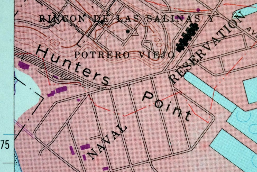
| PRINT NOTES | Thick paper stock. A reddish tint is used to indicate urban areas where only landmark buildings are shown. |
| SCALE | 1:24000 |
| CONTOUR INTERVAL | 25 feet |
| SHEET DIMENSIONS | 22 x 27 inches |
| MAP DIMENSIONS | 18 x 22 3/4 inches |
| COVERAGE AREA | 7 x 9 miles |
| SHEET CONDITION For maps of this vintage, effort is made to note all visible flaws, no matter how minor. | |
| SHEET NOTES | lightly handled, midsheet horizontal foldline (in half), title notation pencilled on backside of sheet |
| MAP AREA | no markings, no blemishes |
| COLLARS | no wear or tears, no markings, no blemishes |
| MAP COVERAGE Quadrangle extent overlaid on current basemap. | |
| PLACENAMES Depending on map series and survey date, all of the features listed below may not be shown on this map. This list contains features that currently exist or historically existed within the area covered by the map. The list can be used as a reference to determine if this map covers your area of interest. Placenames are listed alphabetically next to each feature type. | |
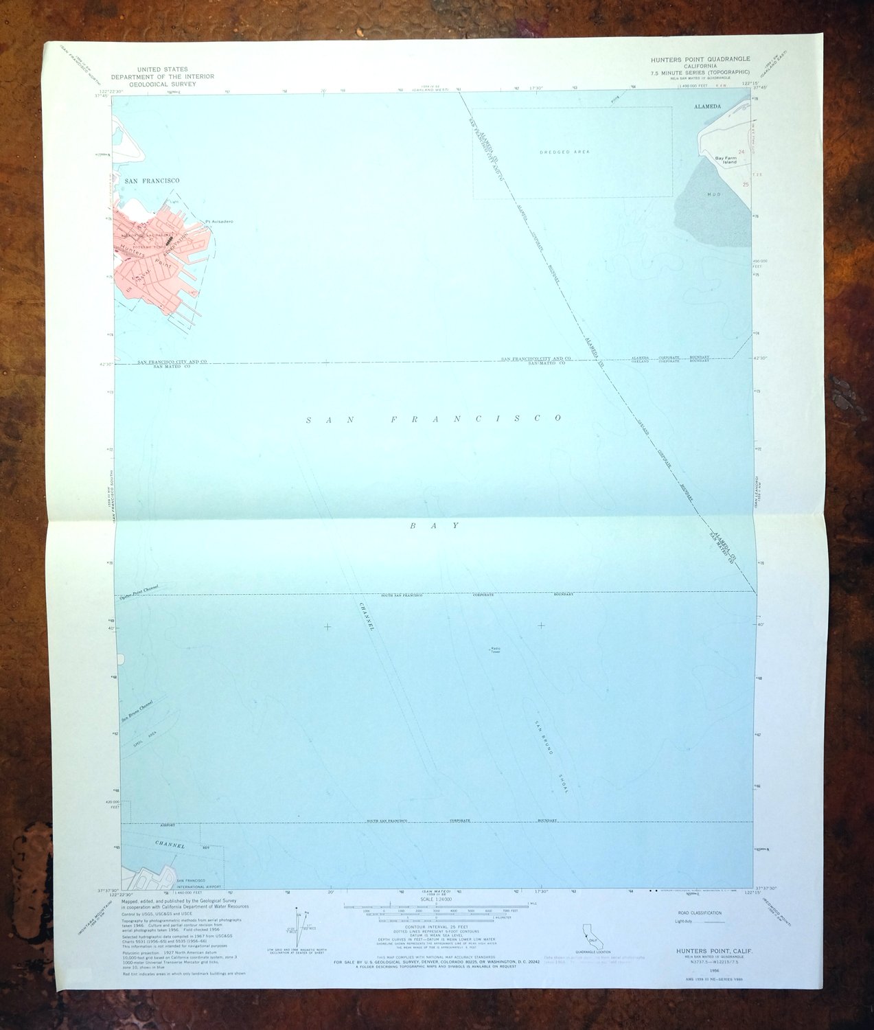
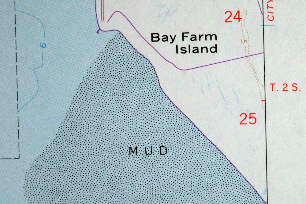
| NOTABLE PLACES | San Francisco Bay, Point Avisadero, and Bay Farm Island |
| CITIES AND TOWNS (CURRENT) | Alameda, Oakland, San Francisco, and South San Francisco |
| COUNTIES COVERED | Alameda, San Francisco, and San Mateo |
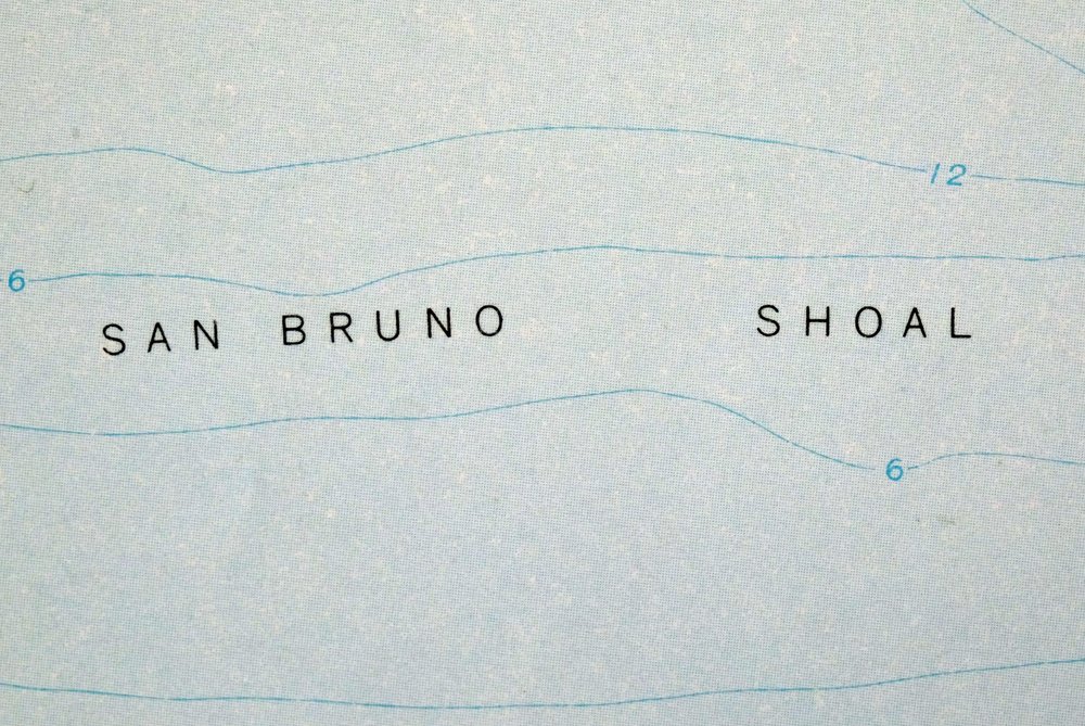
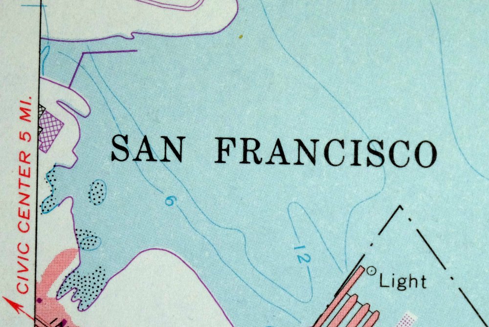
| Locations: Pier 94, Pier 96, and Pier 98. Administrative Boundaries: City of Brisbane and City of South San Francisco. Capes: Hunters Point and Point Avisadero. Buildings: Alameda City Fire Department Station 4. Channels: San Bruno Channel. Bays: India Basin, Lash Lighter Basin, and San Francisco Bay. Bars: San Bruno Shoal. Schools: Bay Farm School. Military: Hunters Point Annex. | |
| SHIPPING AND RETURNS | |
 Ships carefully rolled in a sturdy 2" x 24" mailing tube. Shipping and return details are in our terms. | |
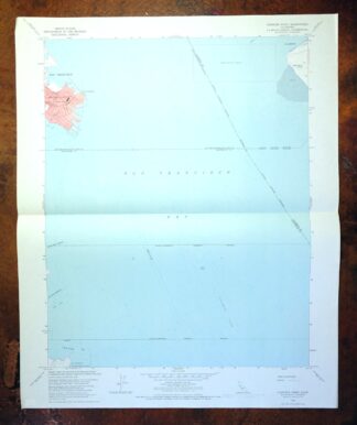
1956 USGS Topo Map: Hunters Point, California
$37
Includes bathymetric depths in San Francisco Bay.
- Vicinity of San Francisco.
- 7.5-minute series, 1956 edition, printed in 1969.
- Very good condition.
In stock
This vintage sheet is a 1956 edition of the Hunters Point California USGS topographic map. It is an original 57-year-old 1969 United States Geological Survey print in very good condition.
HOW THIS MAP CAN BE USED
In addition to making a fascinating conversation piece, this sheet would look great in a frame or on display, make a unique and prized gift for anyone interested in this area, be perfect as a reference for genealogy studies or general historical research, or fill that missing piece in your collection. Maps of this vintage are printed on durable stock and are well-suited for outdoor activities and recreation of all kinds, including hiking, backpacking, hunting, rafting and kayaking, backcountry skiing, geocaching, general exploration, treasure hunting, etc.
FEATURES SHOWN ON THE MAP
The Hunters Point 7.5-minute map shows cities and towns, roads, paths, railroads, utilities and energy infrastructure, rivers, creeks, elevation contour lines, public land survey lines, county, state, and other administrative boundaries as they existed at the time of the survey in 1946 and 1956. A reddish tint is used on this sheet to indicate urban areas where only landmark buildings are depicted. Outside of those areas, all known structures (houses, businesses, churches, schools, barns, cabins, etc) are shown.
A VALUABLE HISTORICAL RECORD
This map is from the 7.5-minute series, the most detailed series that is widely available from the USGS. The 1956 Hunters Point map is a valuable historical record for the area. It contains some placenames and features that have been dropped from more recent maps.
Nearby maps
-
San Francisco South, CA 1956 USGS Topo Map (1975 Print)
$45 Add to cart -

Redwood Point, California 1948 USGS Topo Map
$22 Add to cart -
Redwood Point, California 1959 USGS Topo Map
$39 Add to cart -
1954 USGS Topo Map: Point Bonita, San Francisco, California
$51 Add to cart -
Las Trampas Ridge, California 1959 USGS Topo Map: Oakland
$43 Add to cart -

1948 USGS Topo Map: Newark, California
$43 Add to cart -
Palo Alto, California 1961 USGS Topo Map
$52 Add to cart -
San Quentin, California 1959 USGS Topo Map (1980 Print)
$42 Add to cart -

1954 USGS Topo Map: San Rafael, Manzanita, California
$57 Add to cart -
1951 USGS Topo Map: Petaluma Point, California
$29 Add to cart -
1959 USGS Topo Map: Petaluma Point, California
$21 Add to cart -
Milpitas, California 1961 USGS Topo Map
$35 Add to cart -
1961 USGS Topo Map: Mindego Hill, California (1980 Print)
$31 Add to cart -
Port Chicago, Mountain View, California 1951 USGS Topo Map
$37 Add to cart -
Port Chicago, Mountain View, California 1959 USGS Topo Map
$45 Add to cart -
Pittsburg, Concord, California 1953 USGS Topo Map
$33 Add to cart -
Mount Vaca, Fairfield, California 1951 USGS Topo Map
$40 Add to cart -
Romain, Ingram Creek, California 1916 USGS Topo Map
$21 Add to cart -

Salida, Modesto, California 1915 USGS Topo Map (Ripon)
$52 Add to cart -
Salida, Modesto, California 1953 USGS Topo Map
$45 Add to cart -

1948 USGS Topo Map: Cressey, Livingston, California
$21 Add to cart -
Clearlake Oaks, California 1960 USGS Topo Map
$35 Add to cart -
Lakeport, California 1958 USGS Topo Map (1977 Print)
$45 Add to cart -

Merced, California 1962 USGS Topo Map: Planada
$14 Add to cart